
Roads
Street/Road: Unspecified
Marinas and Harbors
Buildings
Hazardous Materials
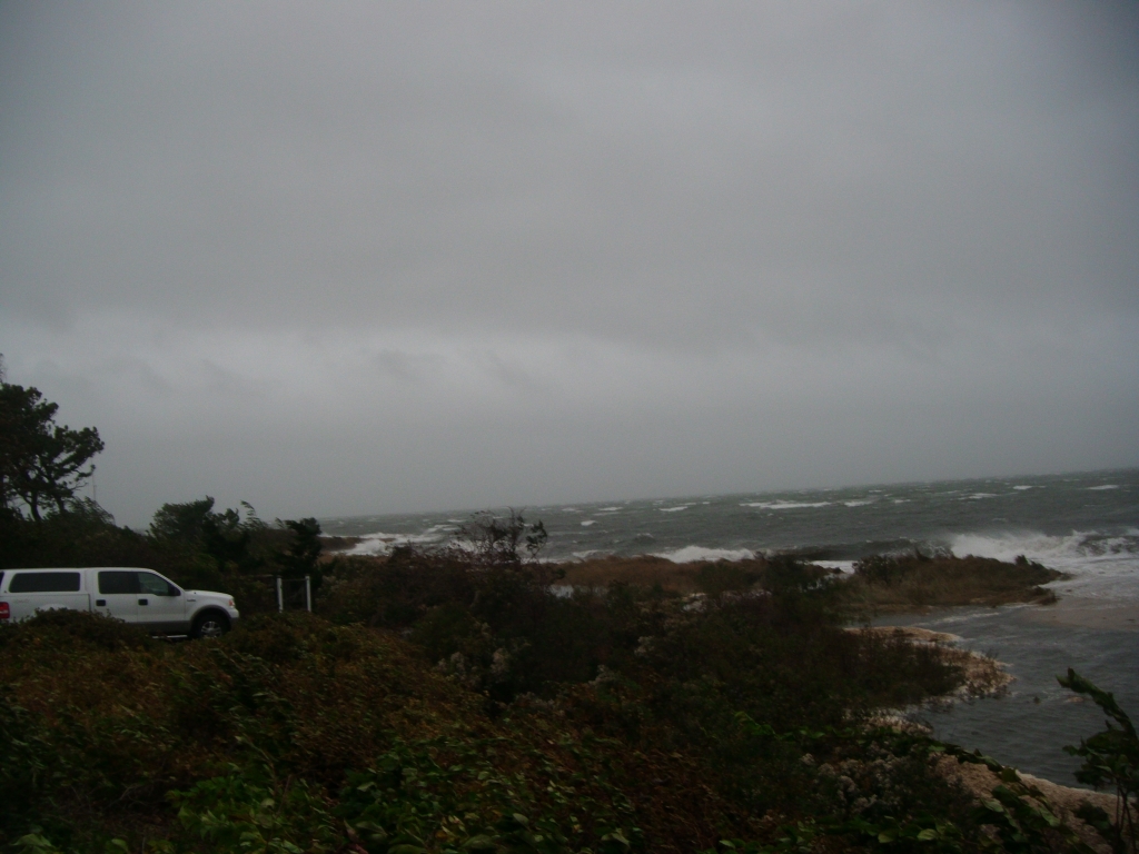
Beach
State: Y
Coastal Structures
Foot/Cycling Paths
Natural Resources
Specific Impacts:
- Eroded beach
- Overwashed beach/dune
Current Response
You must be logged in to post a comment.
"flooding of barrier beach at Lighthouse pond worse than flooding during all of halloween storm 41.395162-70.505877"