
Roads
Street/Road: Unspecified
Marinas and Harbors
Buildings
Specific Impacts:
- Water flow around or under buildings
Hazardous Materials
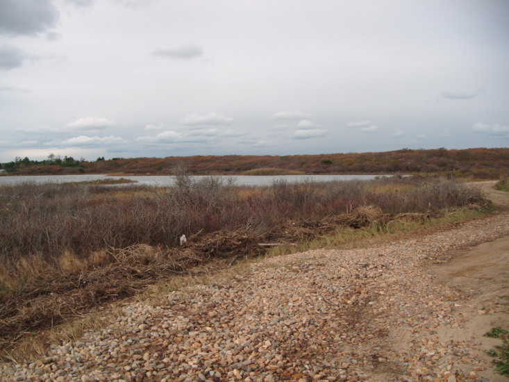
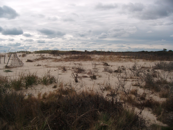
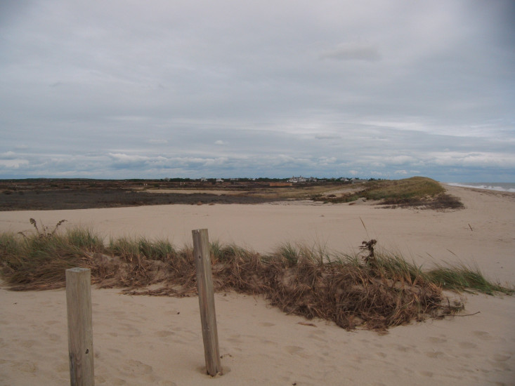
Beach
State: Y
Coastal Structures
Natural Resources
Specific Impacts:
- Damaged sand fencing
- Eroded beach
- Overwashed beach/dune
Current Response
You must be logged in to post a comment.
"dune field at Crakatuxet Beach club nearly completely obliterated"