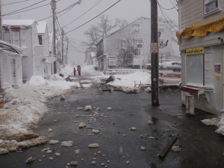
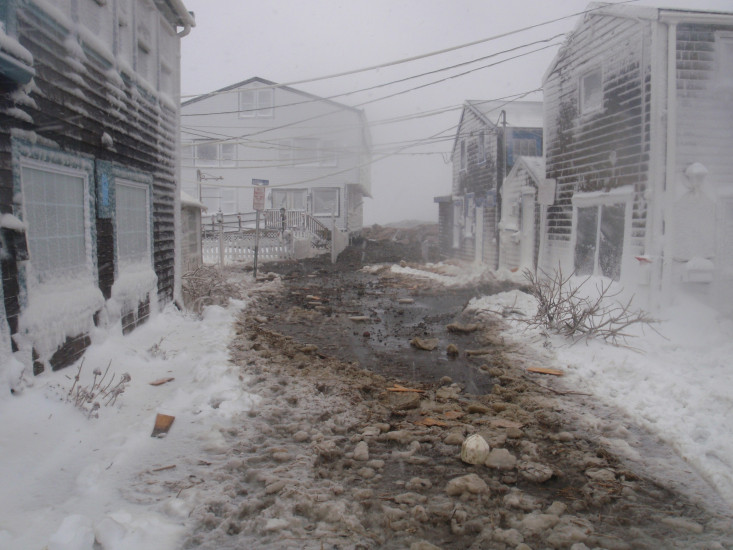
Roads
Street/Road: Unspecified
Specific Impacts:
- Splashover
- Impassable (flood water)
- Impassable (overwash)
Marinas and Harbors
Specific Impacts:
- Displaced floats
Displaced floats: 2 floats
Buildings
Specific Impacts:
- Water flow around or under buildings
Hazardous Materials
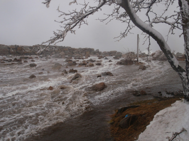
Beach
State: Inaccessible
Coastal Structures
Specific Impacts:
- Splashover
- Leaning bulkheads/seawalls
- Undermined bulkheads/seawalls
- Collapsed bulkheads/seawalls
Natural Resources
Current Response
You must be logged in to post a comment.
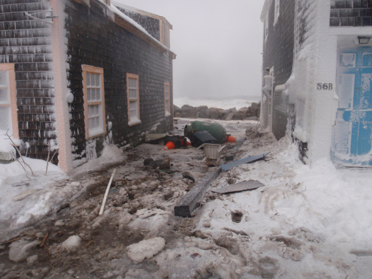
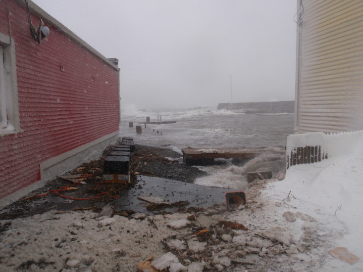
"#4: Photo of end of Bearskin Neck. #8: Photo of end of Bearskin Neck"