Plymouth County
Marshfield, MA
Storm Report
Impacts Reported
User Submitted Data
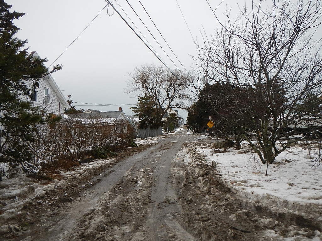
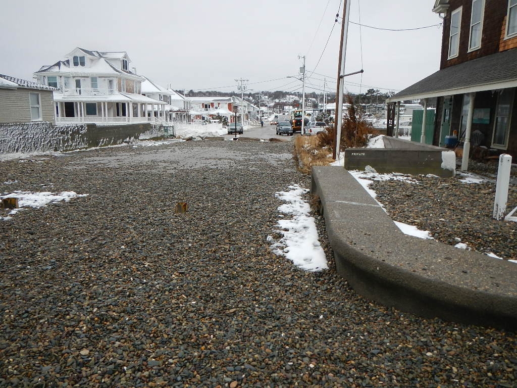
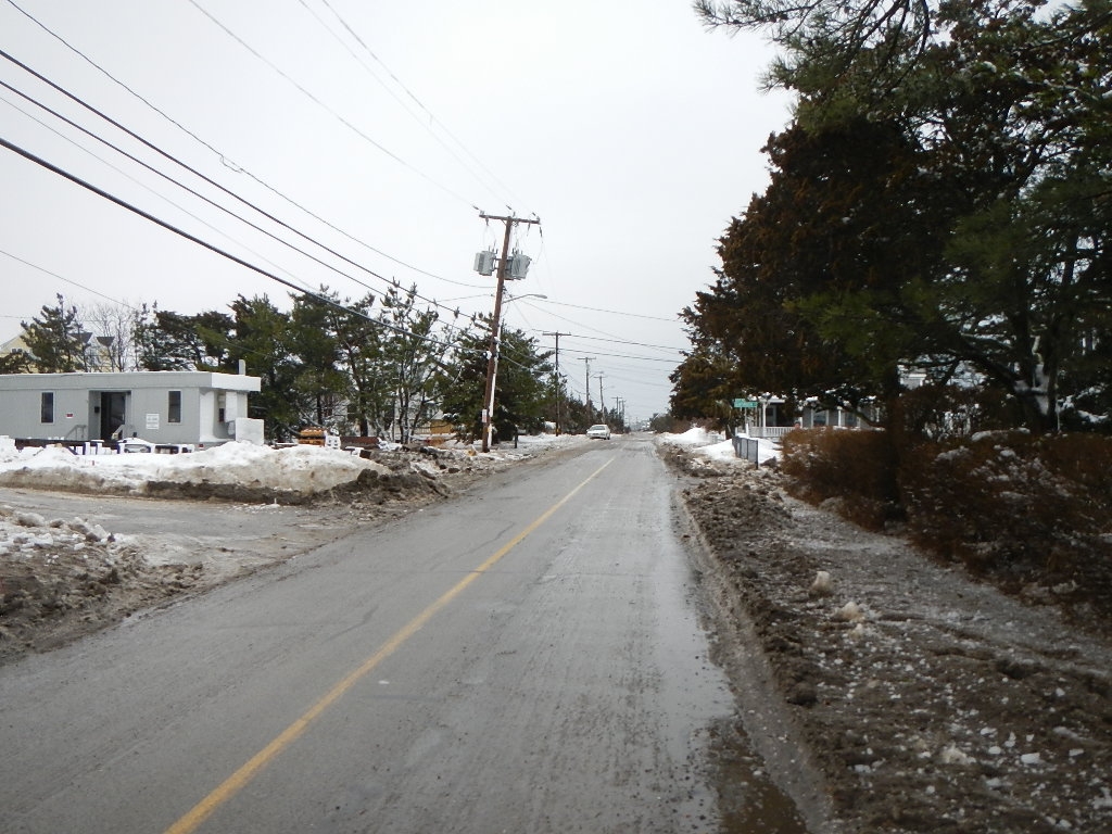
Roads
Street/Road: Unspecified
Specific Impacts:
- Splashover
- Impacted, but passable
- Impassable (utility lines)
- Impassable (overwash)
Marinas and Harbors
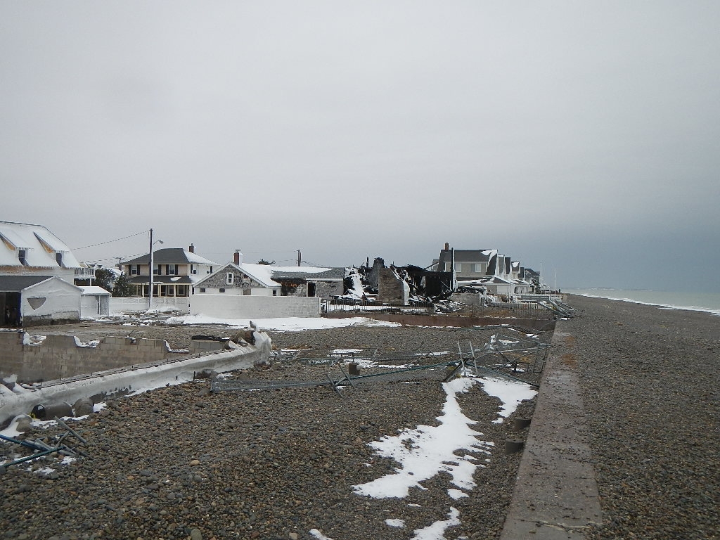
Buildings
Specific Impacts:
- Damaged stairs/decks
- Damaged windows/sidings
Hazardous Materials
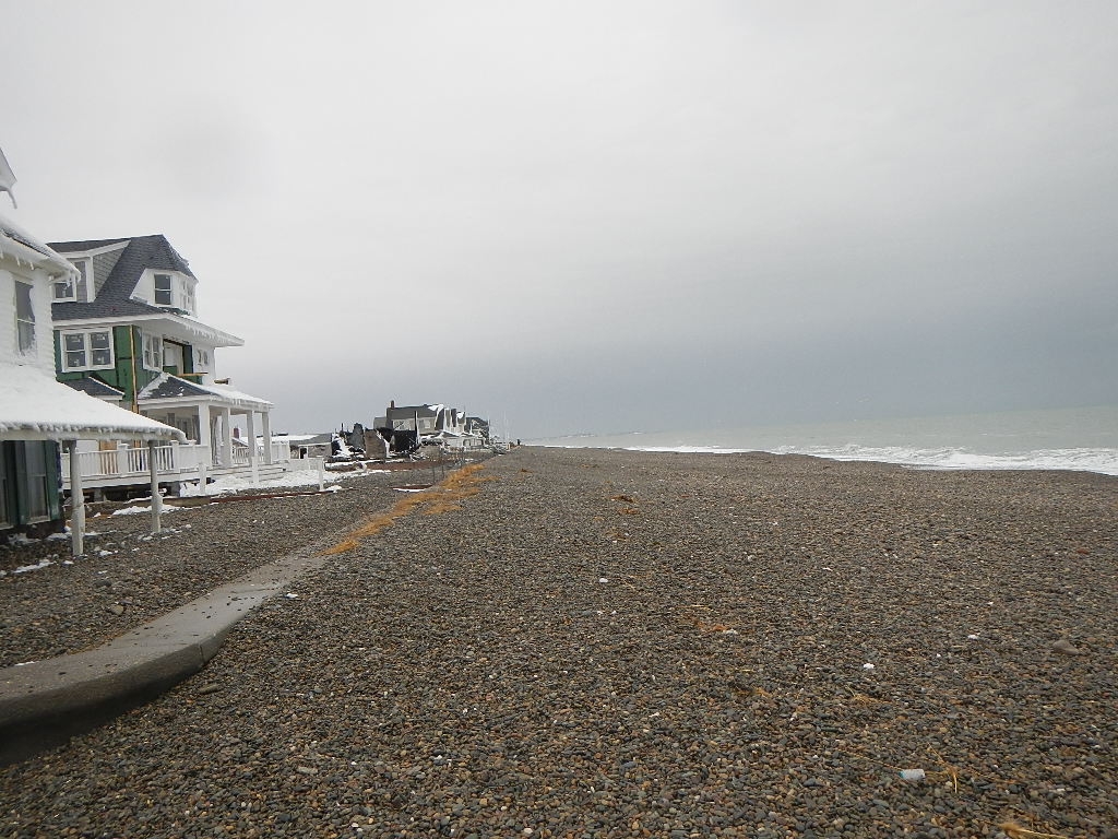
Beach
Coastal Structures
Specific Impacts:
- Splashover
Foot/Cycling Paths
Natural Resources
Specific Impacts:
- Eroded beach
- Overwashed beach/dune
Current Response
Response:
- Utility repair
Tidal Overview
![]() 0 hours 52 minutes before high tide
0 hours 52 minutes before high tide
Data from Brant Rock, Green Harbor River (4.7 miles away)
High Tide (Predicted): 11:52 am, 10.9' MLLW
Loading NOAA Tide Data…
■ Observed
■ Predicted water level
⬤ Report time
Weather Overview
Wind Speed: 8.9 MPH
Wind Direction: SSE (153°)
Temperature: 36℉
Rainfall (Calendar Day): 0.013"
Rainfall (Past 24 Hours): 0.02"
You must be logged in to post a comment.
House on Webster at beach burned down. cobble pushed up to and over seawall