Grays Harbor County
Westport, WA
Storm Surge Report
User Submitted Data
Report type: during
Observed weather: Overcast
Flood extent or water line photo
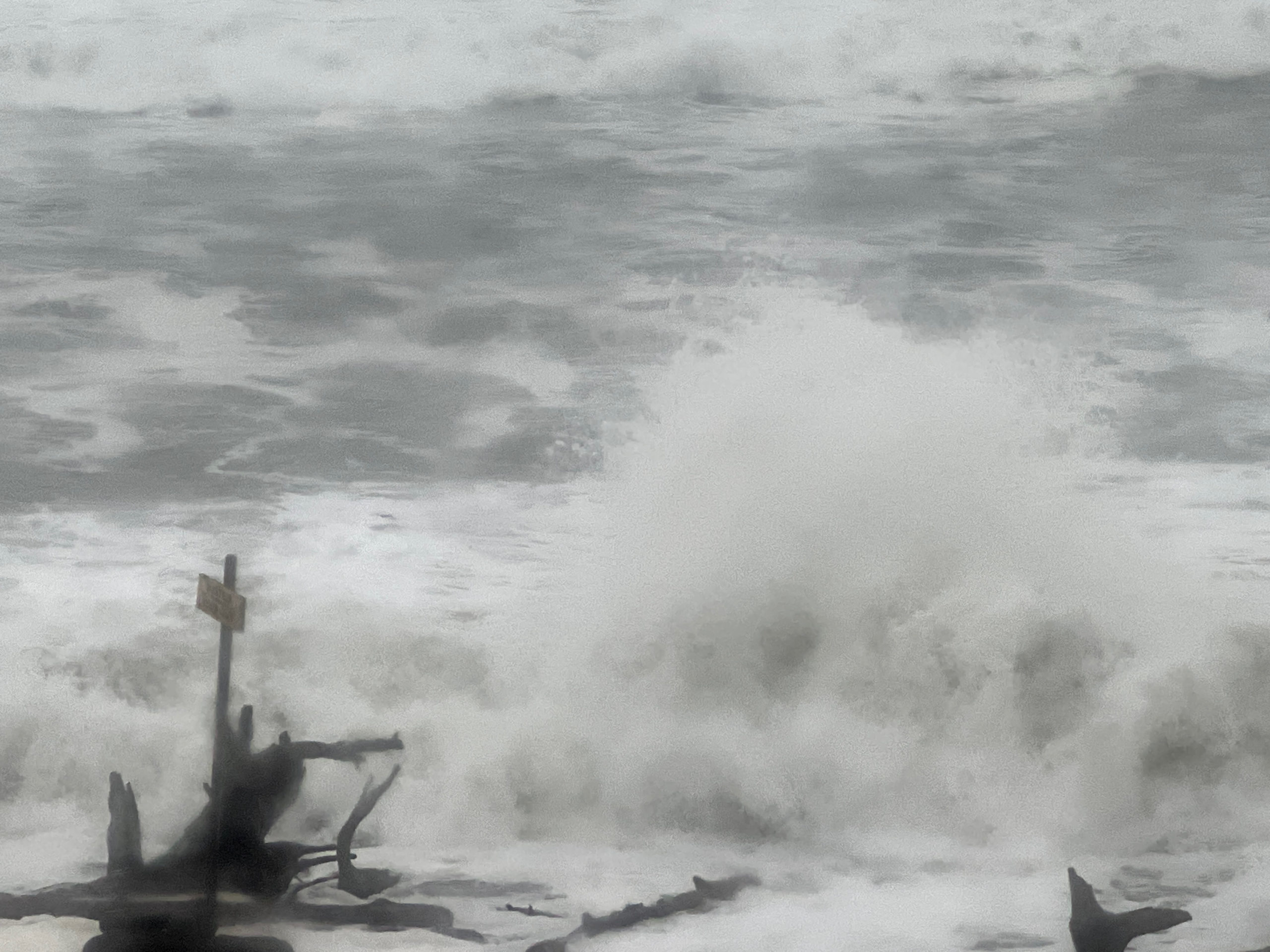
Estimated Flood Height: 0ft
Estimated Inundation Distance: 0-10'
Estimated Flood Timing: 2022-12-26
Signs of a recent slide?: No
Tidal Overview
![]() 0 hours 1 minutes before high tide
0 hours 1 minutes before high tide
Data from Westport, Point Chehalis (1.6 miles away)
Water Level (at time of report): 2:29 pm, 11.2' MLLW
High Tide (Predicted): 2:30 pm, 10.4' MLLW
High Tide (Observed): 2:30 pm, 11.3' MLLW
Loading NOAA Tide Data…
■ Observed
■ Predicted water level
⬤ Report time
Weather Overview
Wind Speed: 9 MPH
Wind Direction: ESE (119°)
Temperature: 50℉
Rainfall (Calendar Day): 0"
Rainfall (Past 24 Hours): 0.84"
User-observed Weather:
- Overcast
- Rain
You must be logged in to post a comment.