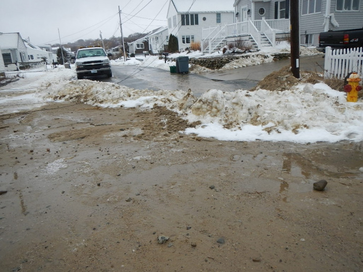
Roads
Street/Road: Unspecified
Specific Impacts:
- Impacted, but passable
- Impassable (utility lines)
- Impassable (overwash)
Marinas and Harbors
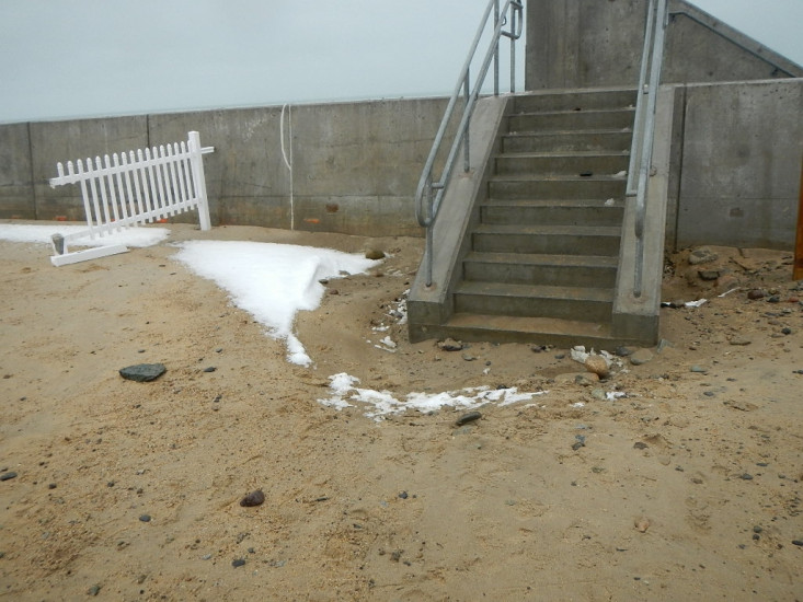
Buildings
Hazardous Materials
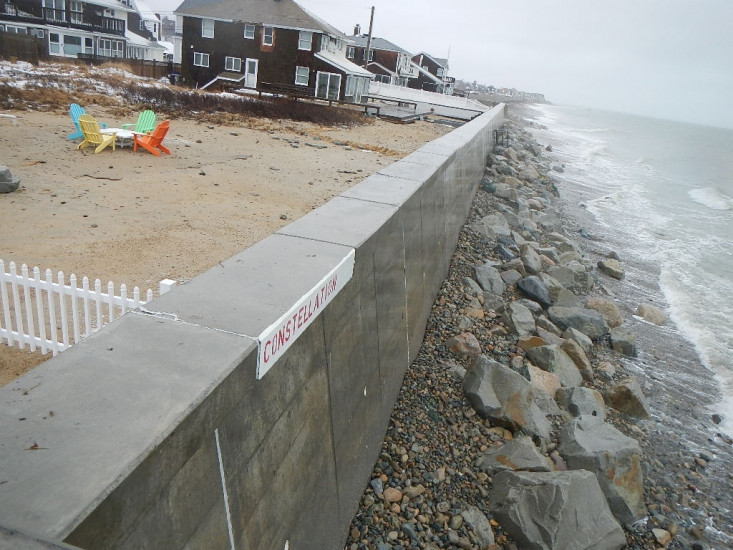
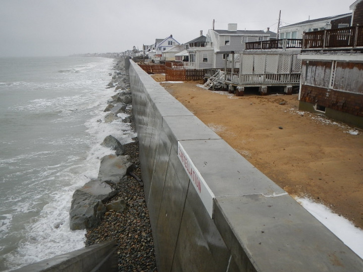
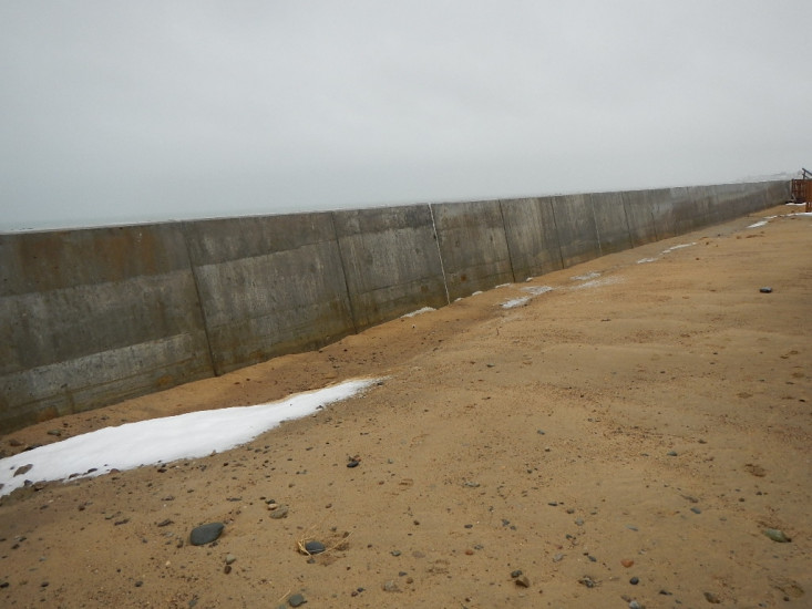
Beach
Natural Resources
Specific Impacts:
- Eroded beach
Current Response
Response:
- Utility repair
You must be logged in to post a comment.