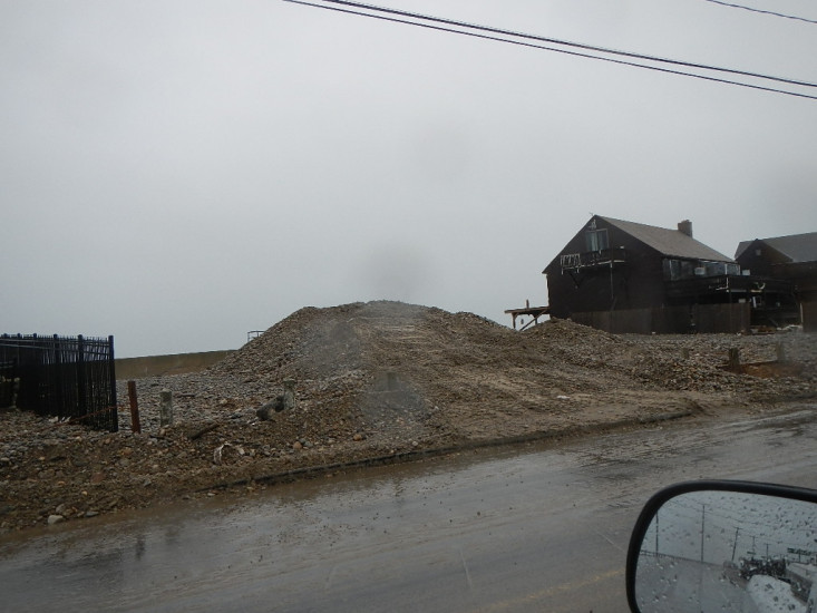
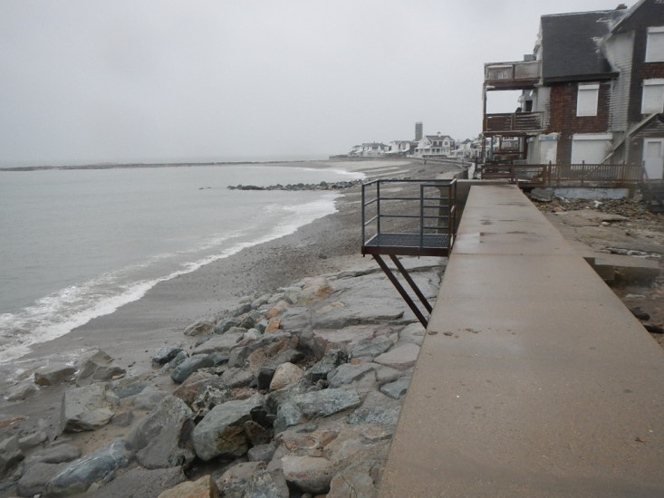
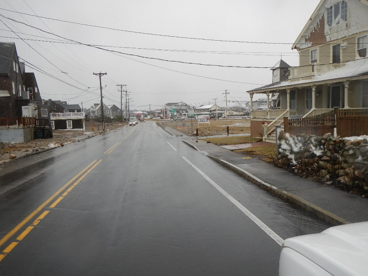
Roads
Street/Road: Unspecified
Specific Impacts:
- Impacted, but passable
- Impassable (utility lines)
- Impassable (overwash)
- Impassable (other)
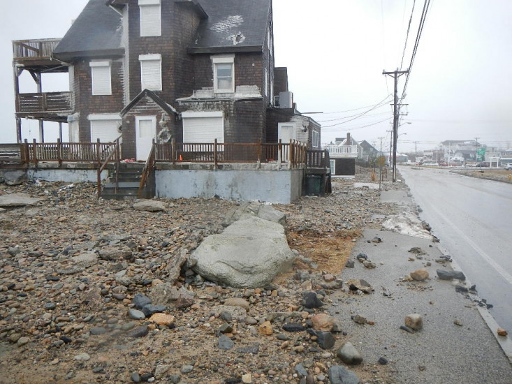
Specific road: Bit COncrete sidewalk washed out
Marinas and Harbors
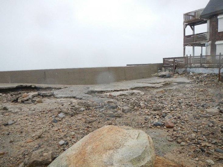
Buildings
Specific Impacts:
- Damaged stairs/decks
- Damaged windows/sidings
Hazardous Materials
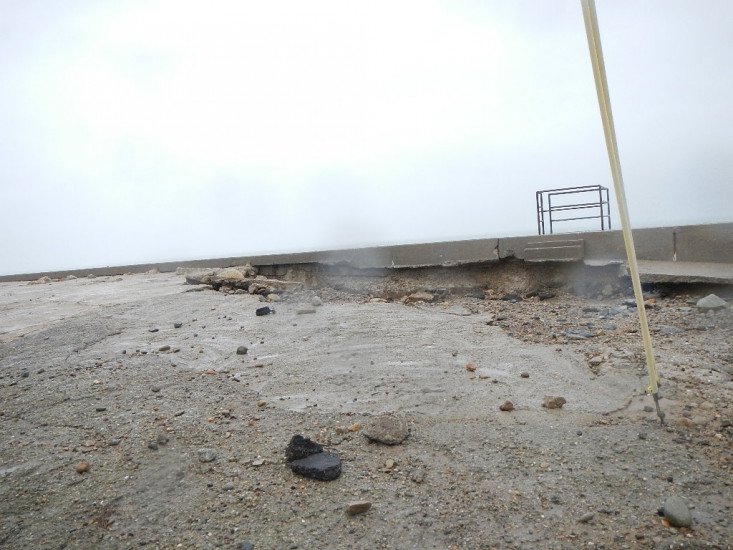
Beach
Natural Resources
Specific Impacts:
- Eroded beach
- Overwashed beach/dune
Current Response
Response:
- Utility repair
You must be logged in to post a comment.
"Most of the area is fine"