Plymouth County
Kingston, MA
Coastal Resilience Report
User Submitted Data
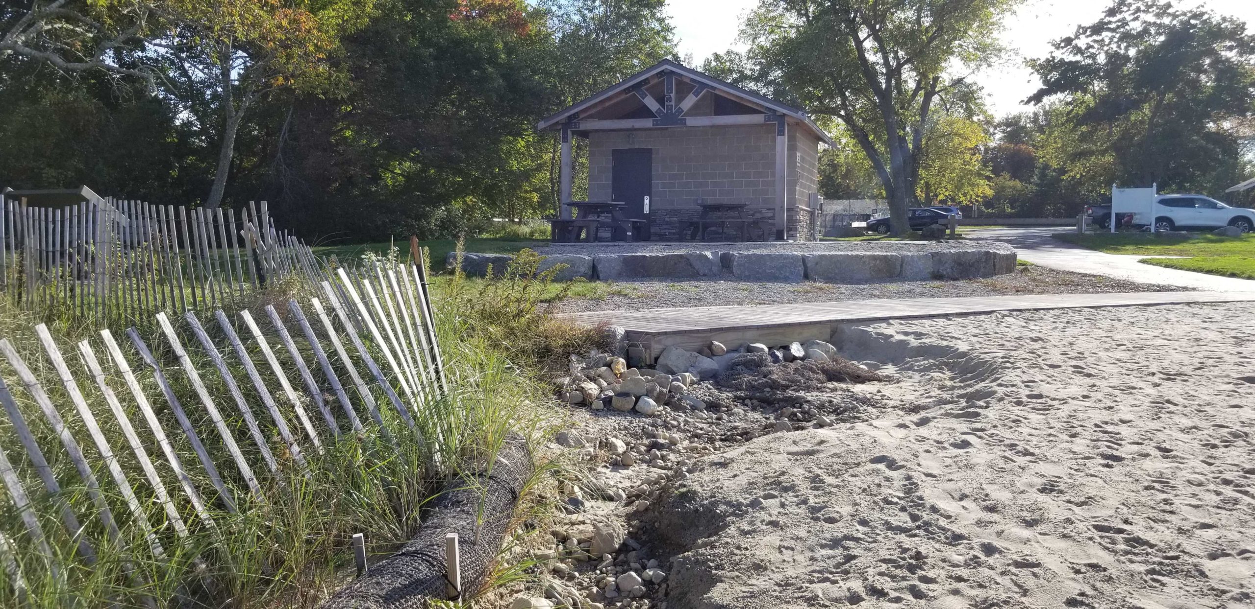
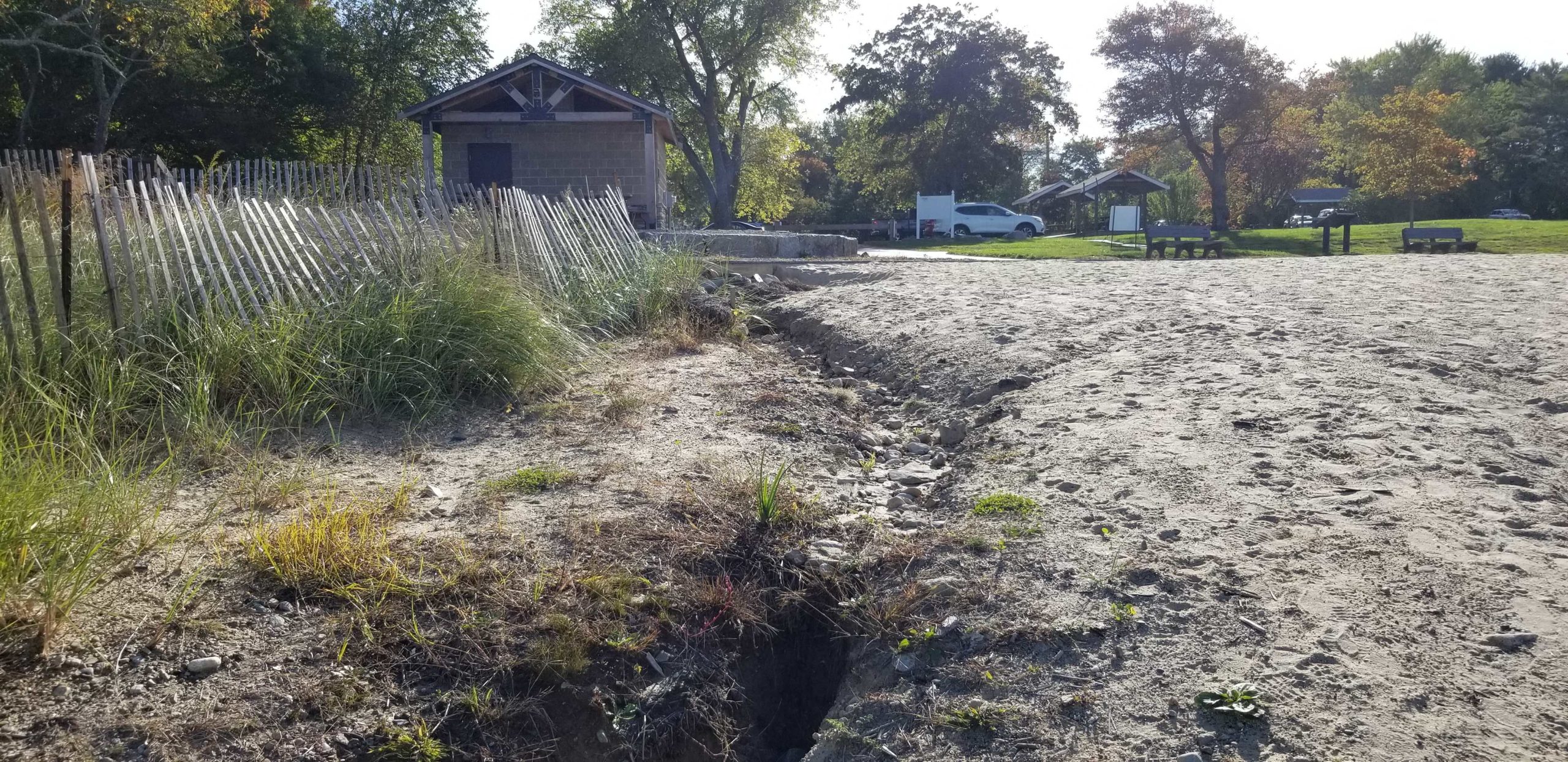
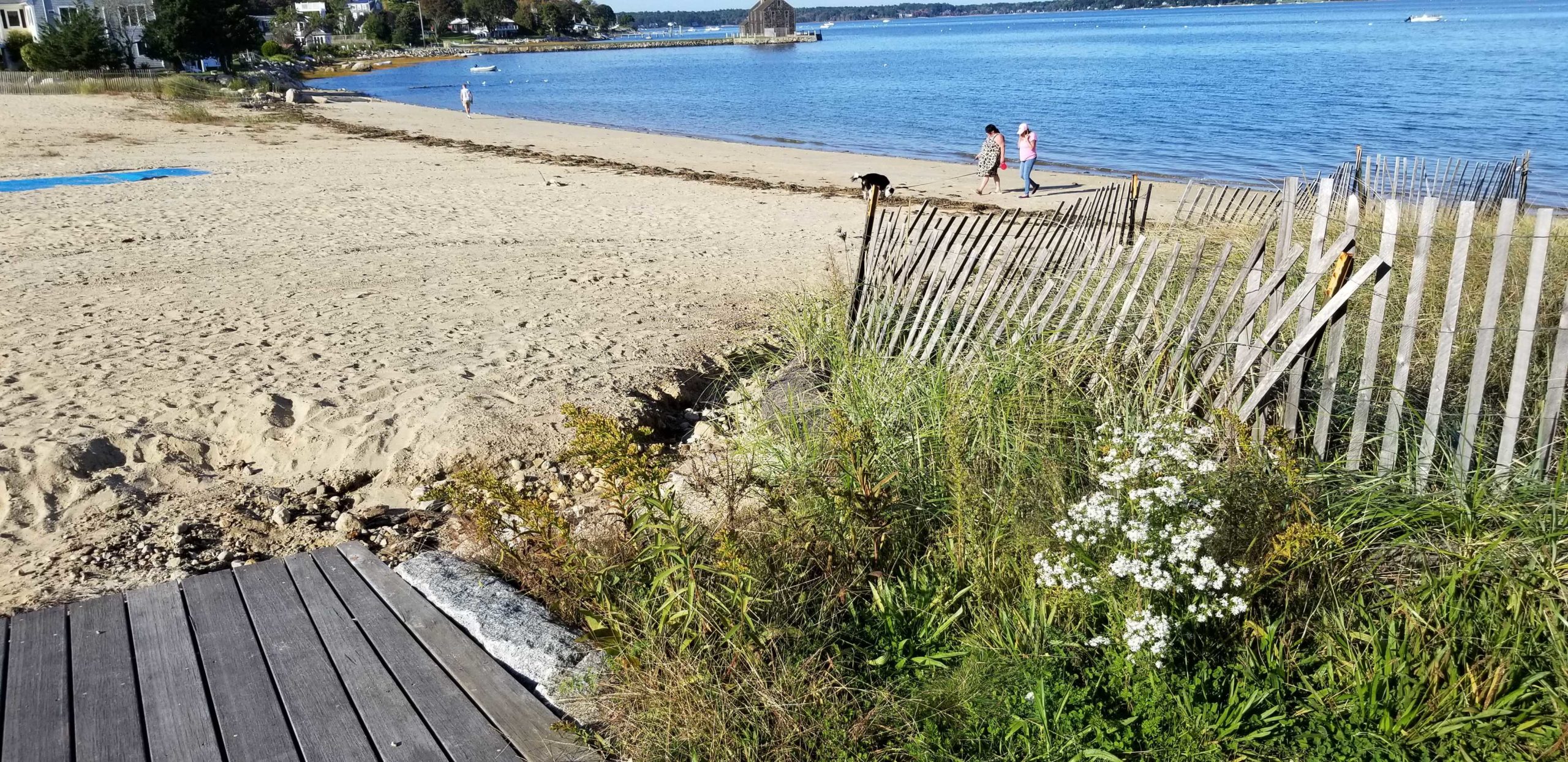
Photo description: GB-B-2 Boardwalk outlet
Coastal resources in/directly adjacent to project footprint:
- beach (sandy)
- beach (mixed sediment)
- beach (cobble)
- dune
- coastal bank
Project elevation:
- above mean high water (MHW)
Coastal infrastructure present at site:
- none
Site stability:
- eroding
Vegetative cover of project area:
- sparse
Dominant vegetative type within project area: destabilizing plants (e.g., knotweed and bittersweet)
Displaced/unanchored and degraded project materials:
- none
Human impacts at project site:
- runoff
- foot traffic
Marine-related impacts:
- wrack
Tidal Overview
![]() 1 hours 15 minutes before high tide
1 hours 15 minutes before high tide
Data from Plymouth (2.8 miles away)
High Tide (Predicted): 4:51 pm, 11.2' MLLW
Loading NOAA Tide Data…
■ Observed
■ Predicted water level
⬤ Report time
Weather Overview
Wind Speed: 4.9 MPH
Wind Direction: SSW (198°)
Temperature: 73℉
Rainfall (Calendar Day): 0"
Rainfall (Past 24 Hours): 0"
You must be logged in to post a comment.
Ongoing storm water runoff issues will be dealt with soon