
Barnstable County
Truro, MA
(Truro- Ballston Beach)

Storm Report
User Submitted Data
Roads
Street/Road: Unspecified
Specific Impacts:
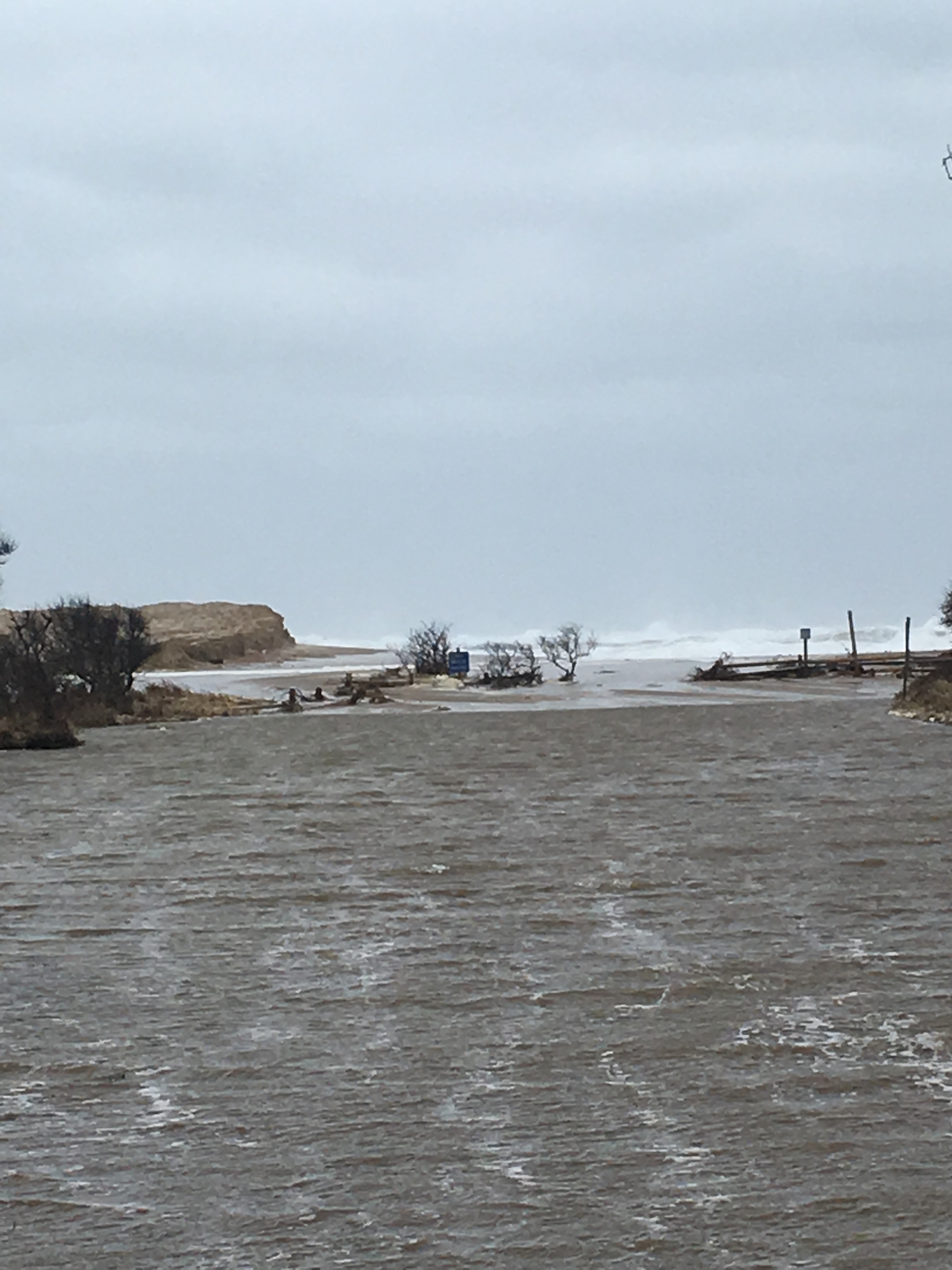
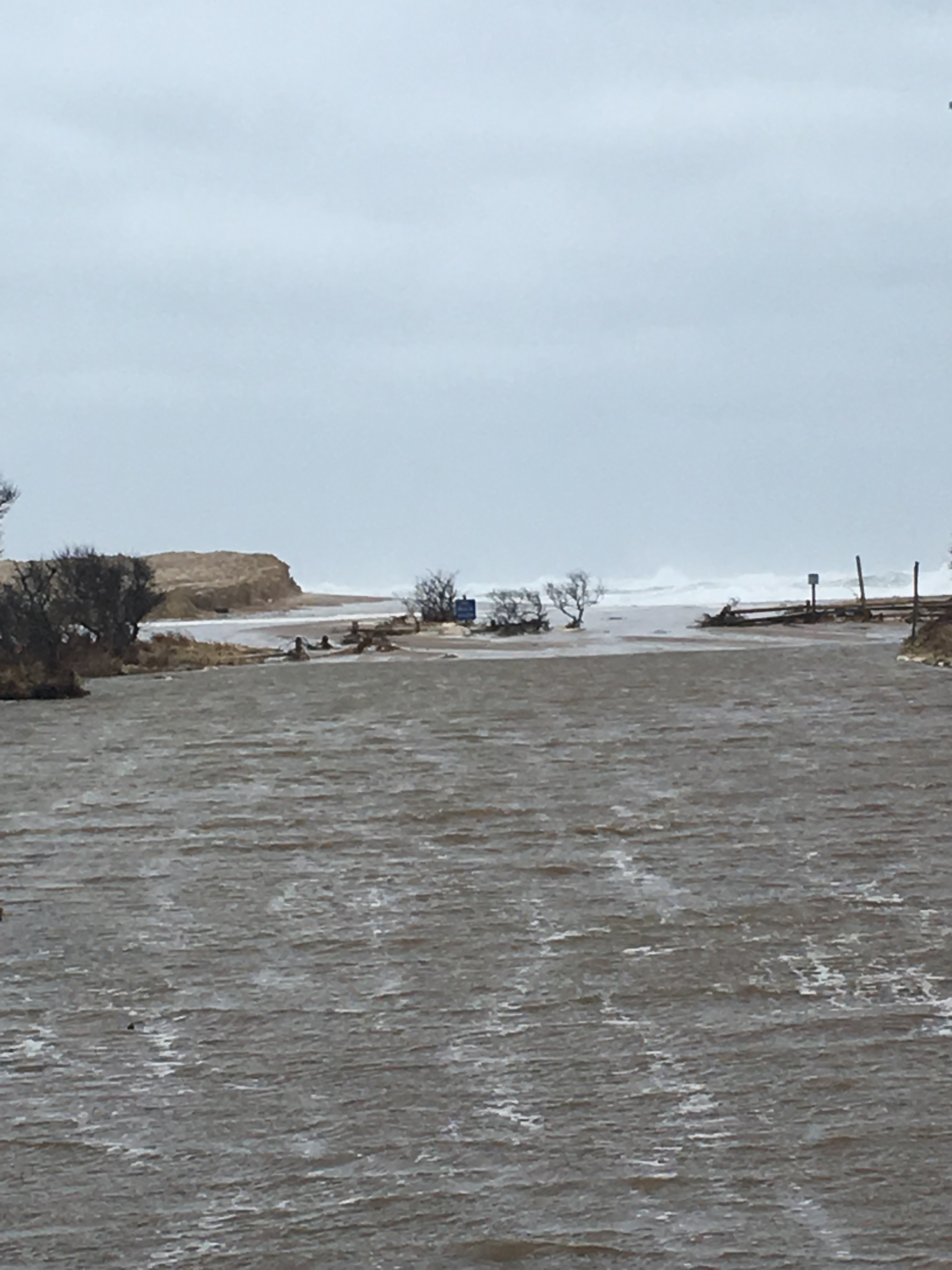
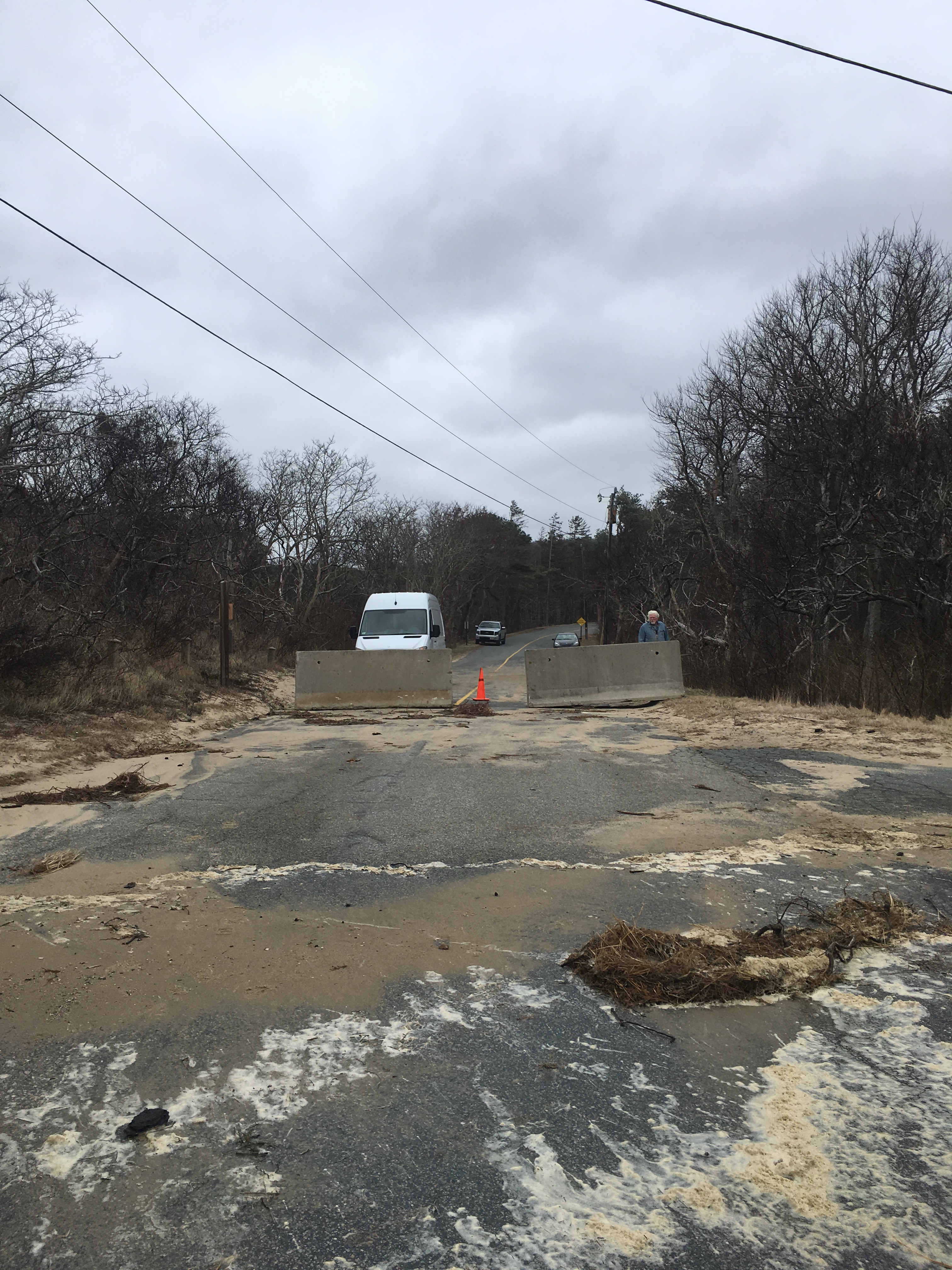
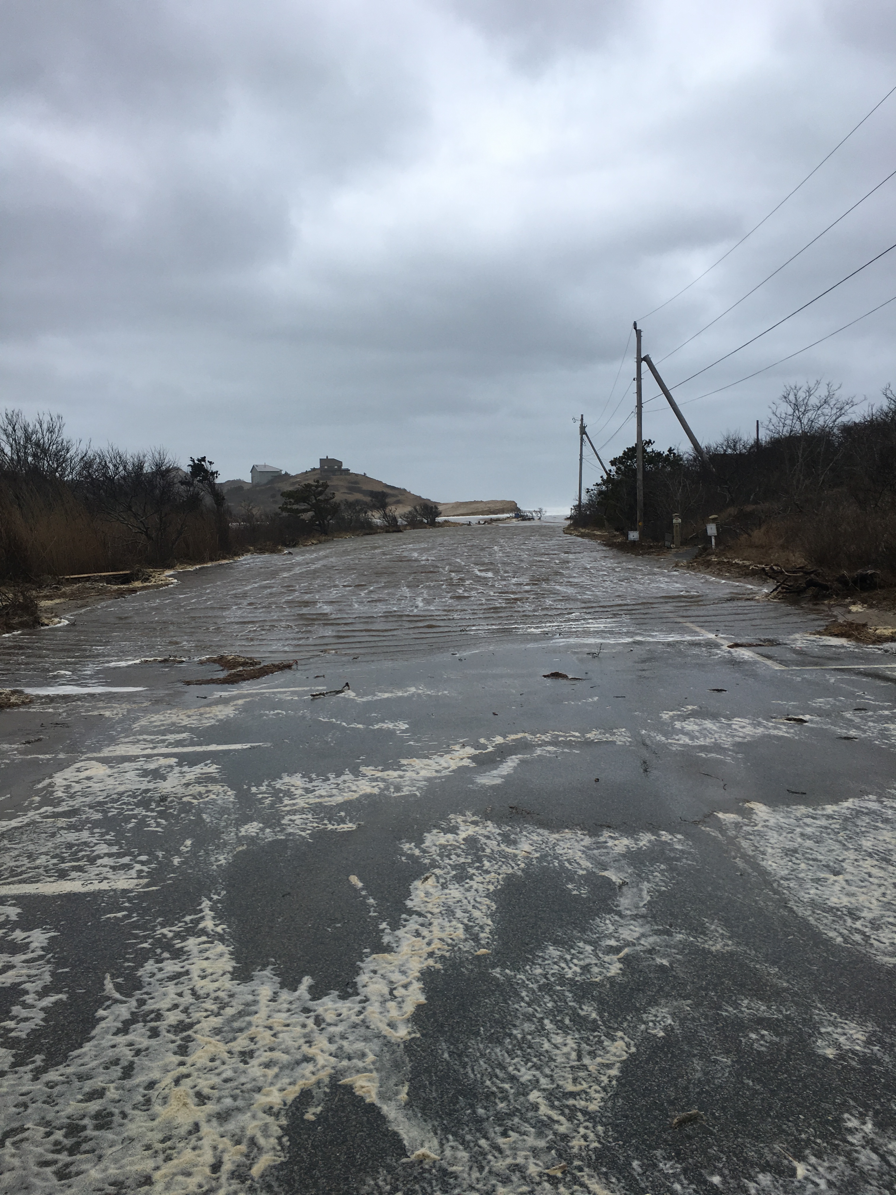
- Impassable (overwash)
Comments: Parking lot completely flooded. Appears to be tidal flow/overwash trapped in the low-lying lot. The road leading up to the beach (South Pamet Road) was also flooded in locations- this would be from precipitation or high water levels in marshes along roads.
Marinas and Harbors
Buildings
Hazardous Materials
Beach
Imapacts Reported: Y
Comments: Couldn't get much closer to beach due to the flooded parking lot which leads to the beach path.
Coastal Structures
Foot/Cycling Paths
Natural Resources
Specific Impacts:
- Eroded beach
- Eroded dune
- Overwashed beach/dune
- Breached barrier beach
Comments: The overwash at Ballston occurred previously, but it was clear waves and water levels came up through the existing break in the beach/dunes. Wrack was in the parking lot and the marshes/grasses landward of the beach. Large waves visible crashing on shore.
Current Response
Response:
- Other
Specific response: Beach closure
Tidal Overview
 2 hours 20 minutes after high tide
Data from Provincetown (9.3 miles away)
High Tide (Predicted): 12:10 pm, 11.1' MLLW
Loading NOAA Tide Data…
Weather Overview
Wind Speed: 30.1 MPH
Wind Direction: NNE (28°)
Temperature: 40℉
Rainfall (Calendar Day): 0"
Rainfall (Past 24 Hours): 1.05"