
Barnstable County
Orleans, MA
(Nauset Beach Orleans)

Storm Report

User Submitted Data
Roads
Street/Road: Unspecified
Marinas and Harbors
Buildings
Street: Nauset Beach
Specific Impacts:
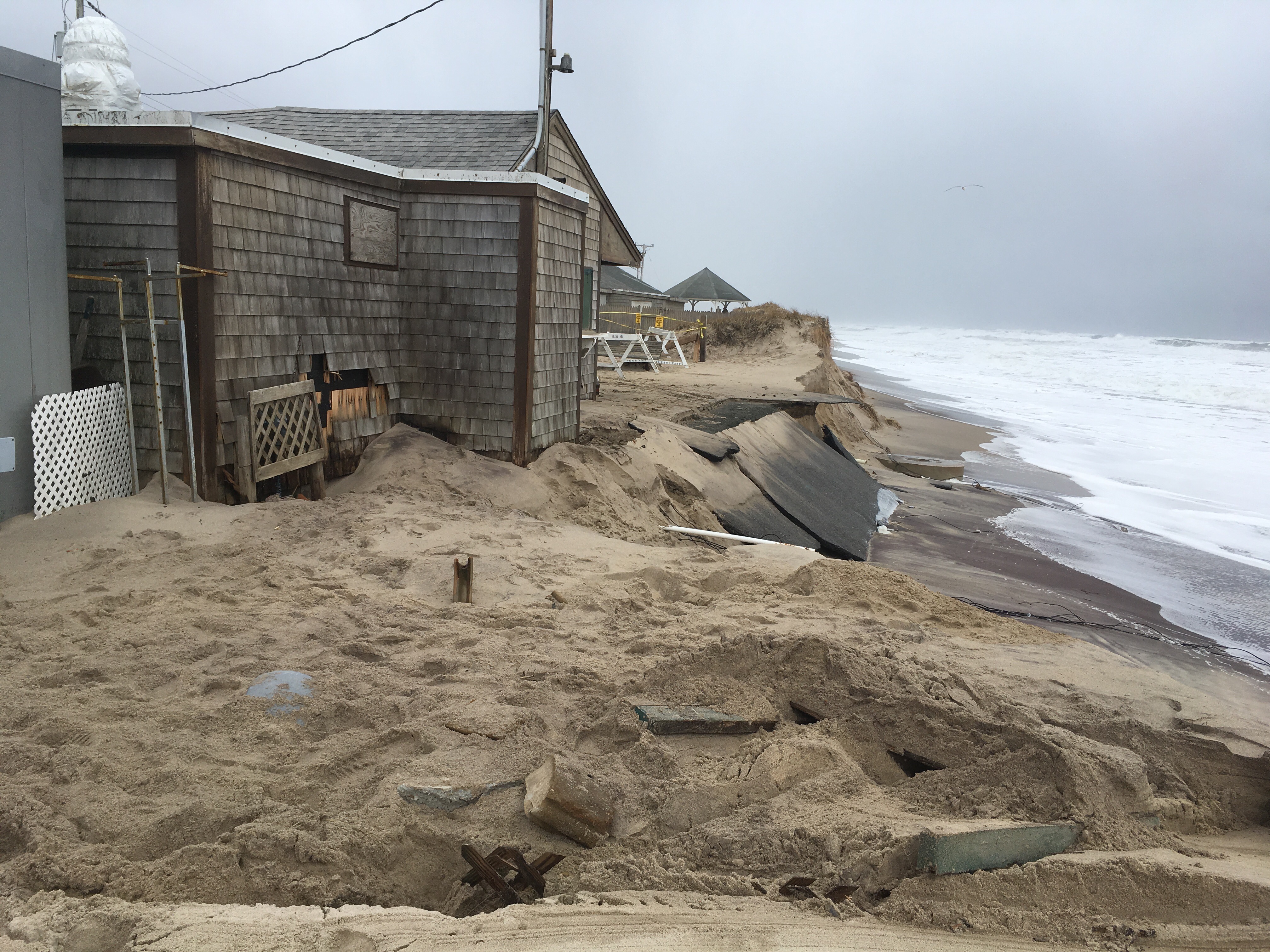
- Water flow around or under buildings
- Displaced/destroyed
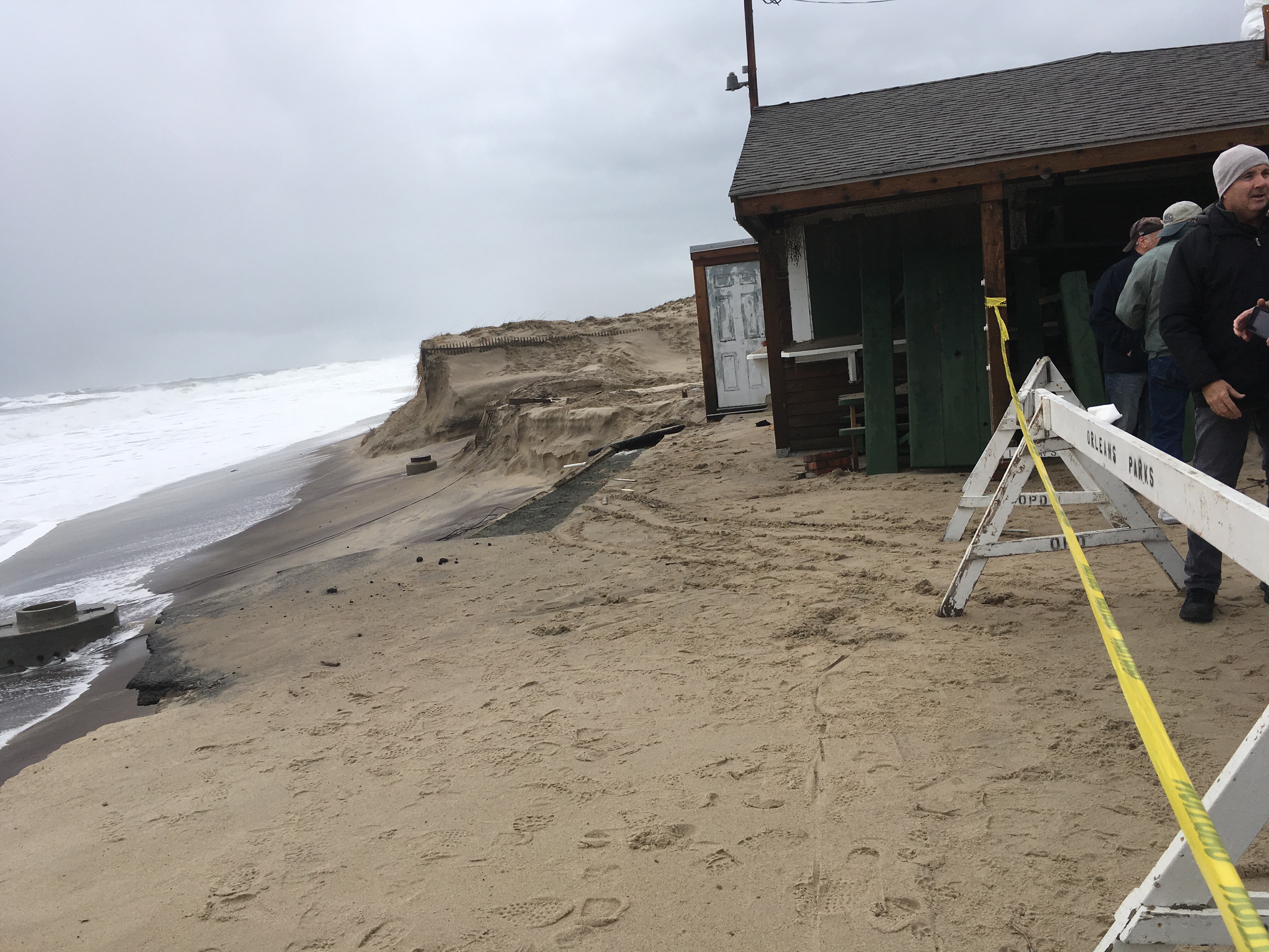
Comments: Main building right on the edge of the dune. Shed was actively pulled back from edge while we were there. Town staff on site
Hazardous Materials
Specific Impacts:
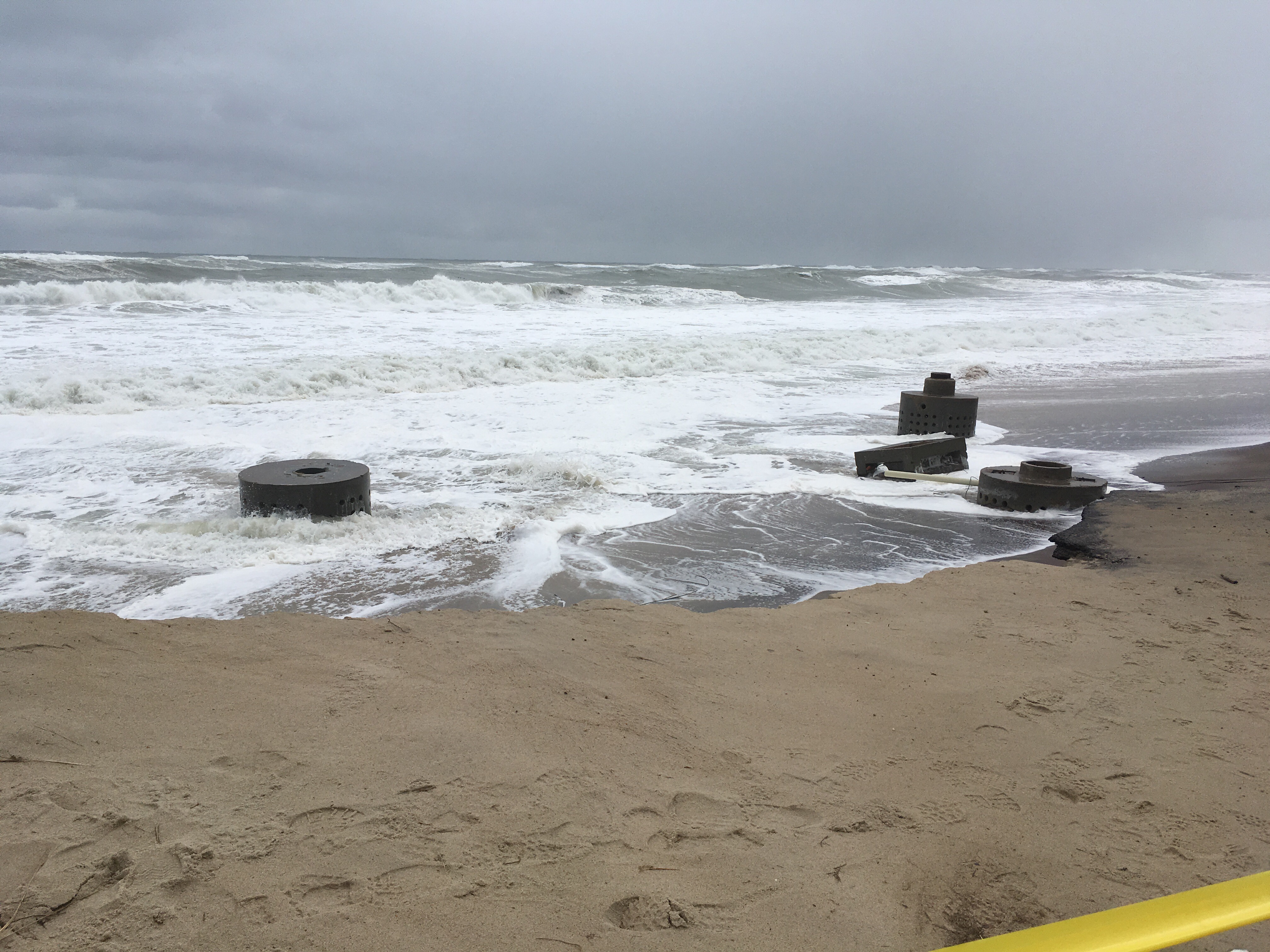
- Septic
- Other large debris
Comments: Exposed septic is decommissioned; hasn’t been active for decades. Town staff on site
Beach
Coastal Structures
Foot/Cycling Paths
Natural Resources
Specific Impacts:
- Eroded beach
- Eroded dune
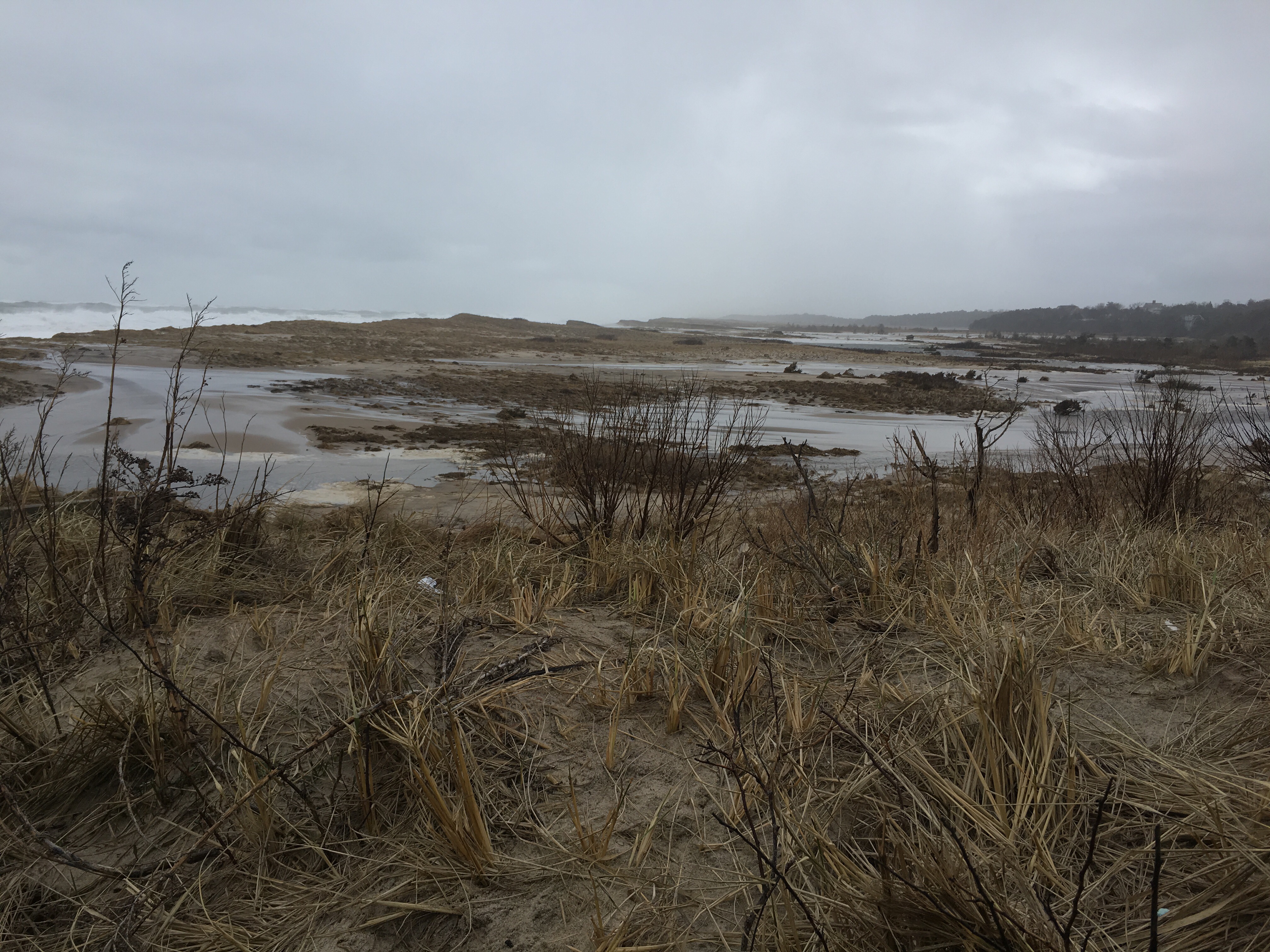
- Breached barrier beach
Comments: New breach just south of parking lot
Current Response
Response:
- Other
Specific response: Pulling back shed from edge of dune
Tidal Overview
 1 hours 50 minutes before high tide
Data from Chatham Harbor, Aunt Lydias Cove (7.2 miles away)
Water Level (at time of report): 12:00 pm, 7.1' MLLW
High Tide (Predicted): 1:50 pm, 5.4' MLLW
Loading NOAA Tide Data…
Weather Overview
Wind Speed: 11.8 MPH
Wind Direction: NNE (15°)
Temperature: 39℉
Rainfall (Calendar Day): 0"
Rainfall (Past 24 Hours): 0"