
Queens County, NY
Jamaica

Flood Watch Report
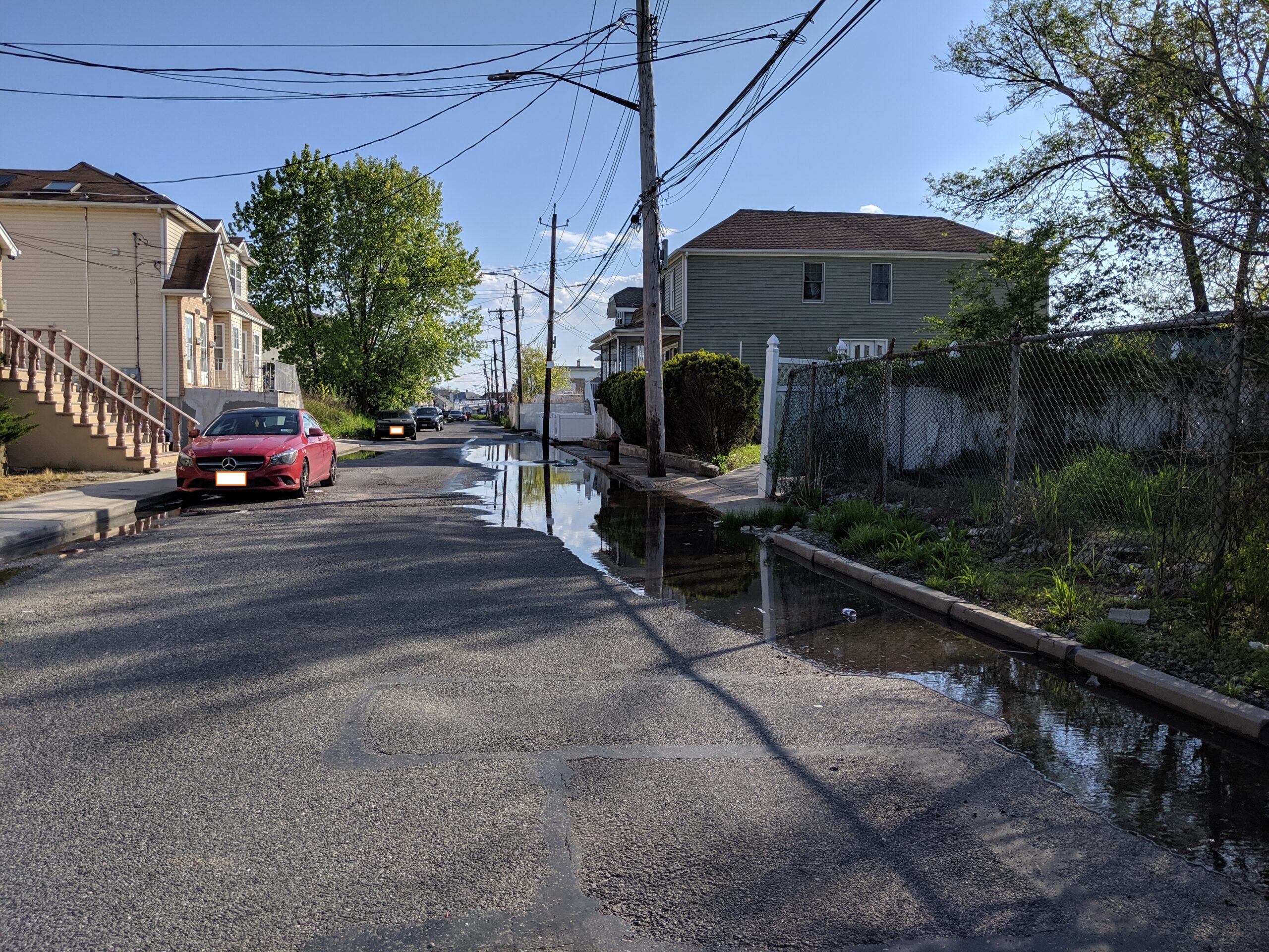
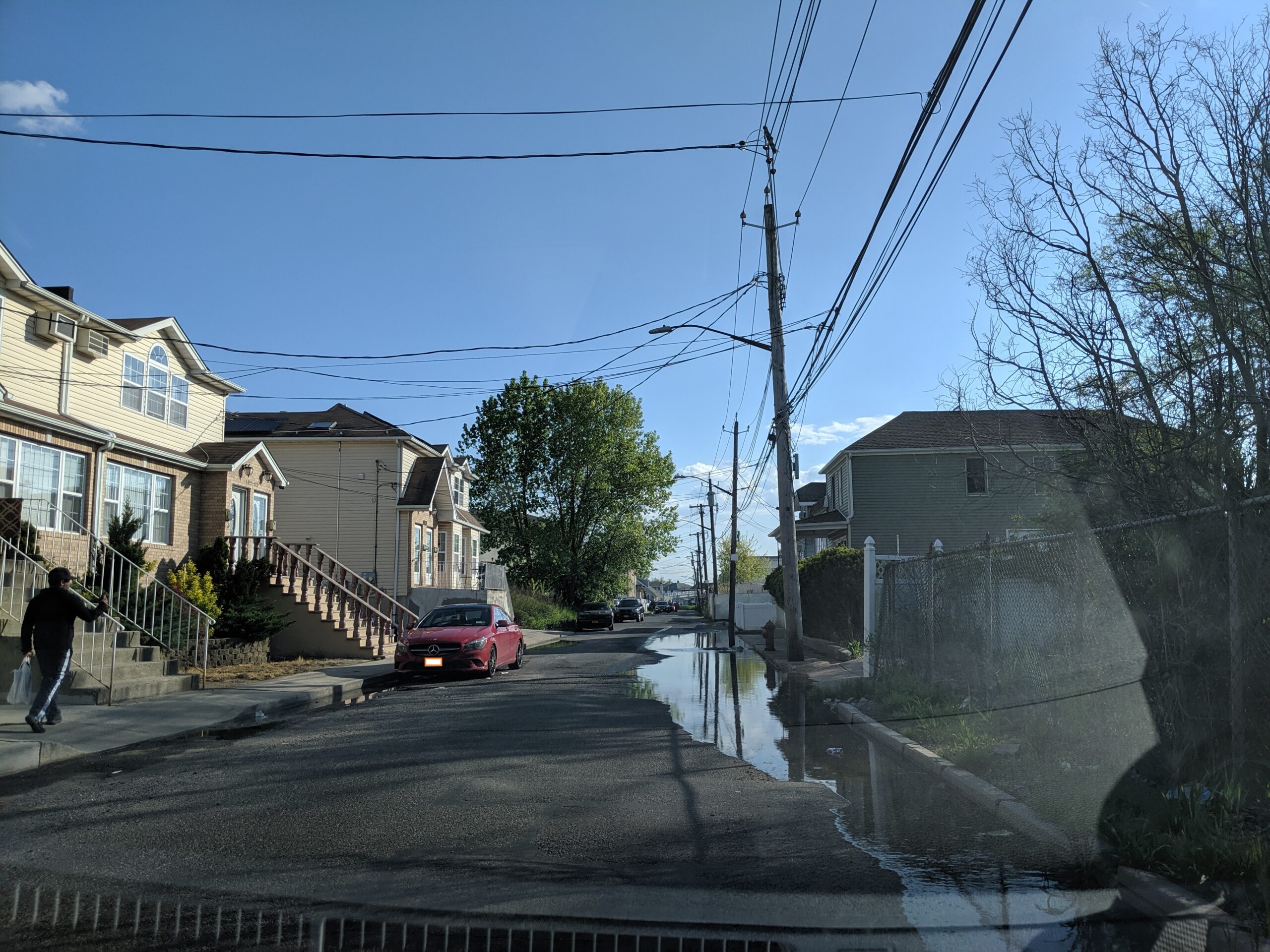
User Submitted Data
Cause of Flooding:
- Overland flooding (Nearby waterbody)
- Storm drain (Water pooling near a storm drain)
What is Flooded:
- Roads/streets
Tidal Overview
 0 hours 38 minutes before high tide
Data from North Channel Bridge, Grassy Bay (0.8 miles away)
High Tide (Predicted): 6:21 pm, 6.6' MLLW
Loading NOAA Tide Data…
■ Observed
■ Predicted water level
⬤ Report time
Weather Overview
Wind Speed: 15.1 MPH
Wind Direction: S (187°)
Temperature: 60℉
Rainfall (Calendar Day): 0"
Rainfall (Past 24 Hours): 0.17"
You must be logged in to post a comment.