
Barnstable County
Falmouth, MA

Storm Report
Impacts Reported
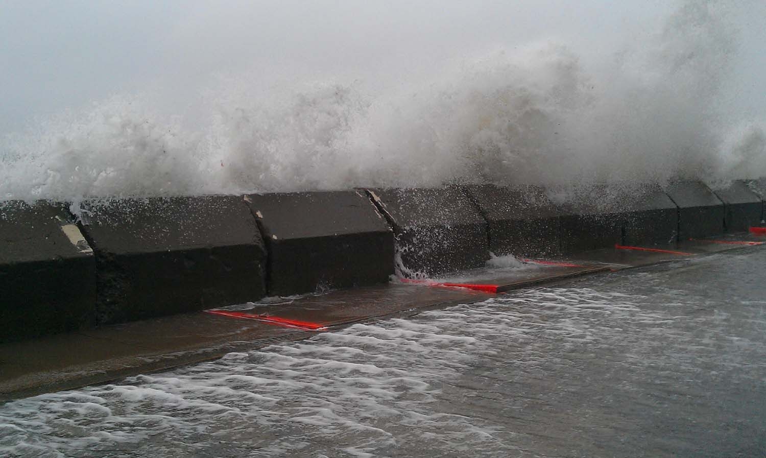
Roads
Street/Road: Unspecified
Specific Impacts:
- Splashover
- Impassable (flood water)
Marinas and Harbors
Buildings
Hazardous Materials
Beach
State: Y
Coastal Structures
Specific Impacts:
- Splashover
Foot/Cycling Paths
Natural Resources
Current Response
Response:
- None
Specific response: road closed off
Tidal Overview
 3 hours 20 minutes after high tide
Data from OCEANOGRAPHIC INSTITUTION (5.1 miles away)
Water Level (at time of report): 12:08 pm, 3.8' MLLW
High Tide (Predicted): 8:15 am, 2.4' MLLW
High Tide (Observed): 8:48 am, 4.8' MLLW
■ Observed
■ Predicted water level
⬤ Report time
Weather Overview
Wind Speed: 30 MPH
Wind Direction: ENE (67°)
Temperature: 62℉
Rainfall (Calendar Day): 0.009"
Rainfall (Past 24 Hours): 0.15"
You must be logged in to post a comment.
"Note: The orange painted sidewalks blocks were uplifted by Hurricane Irene. There may be some additional damage as a result of this storm."