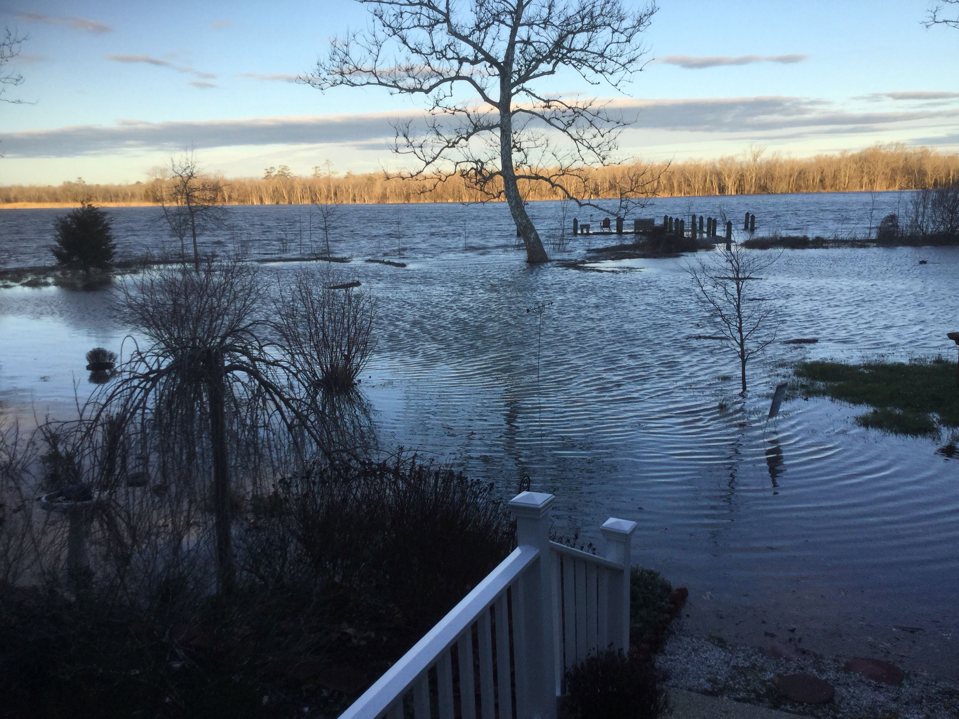
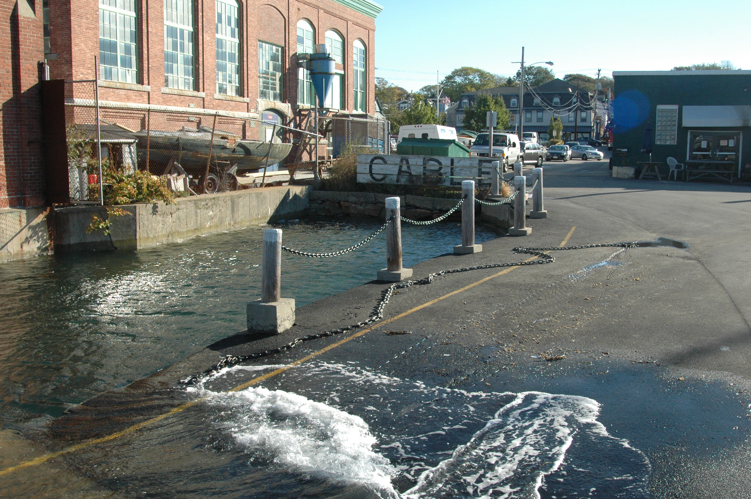
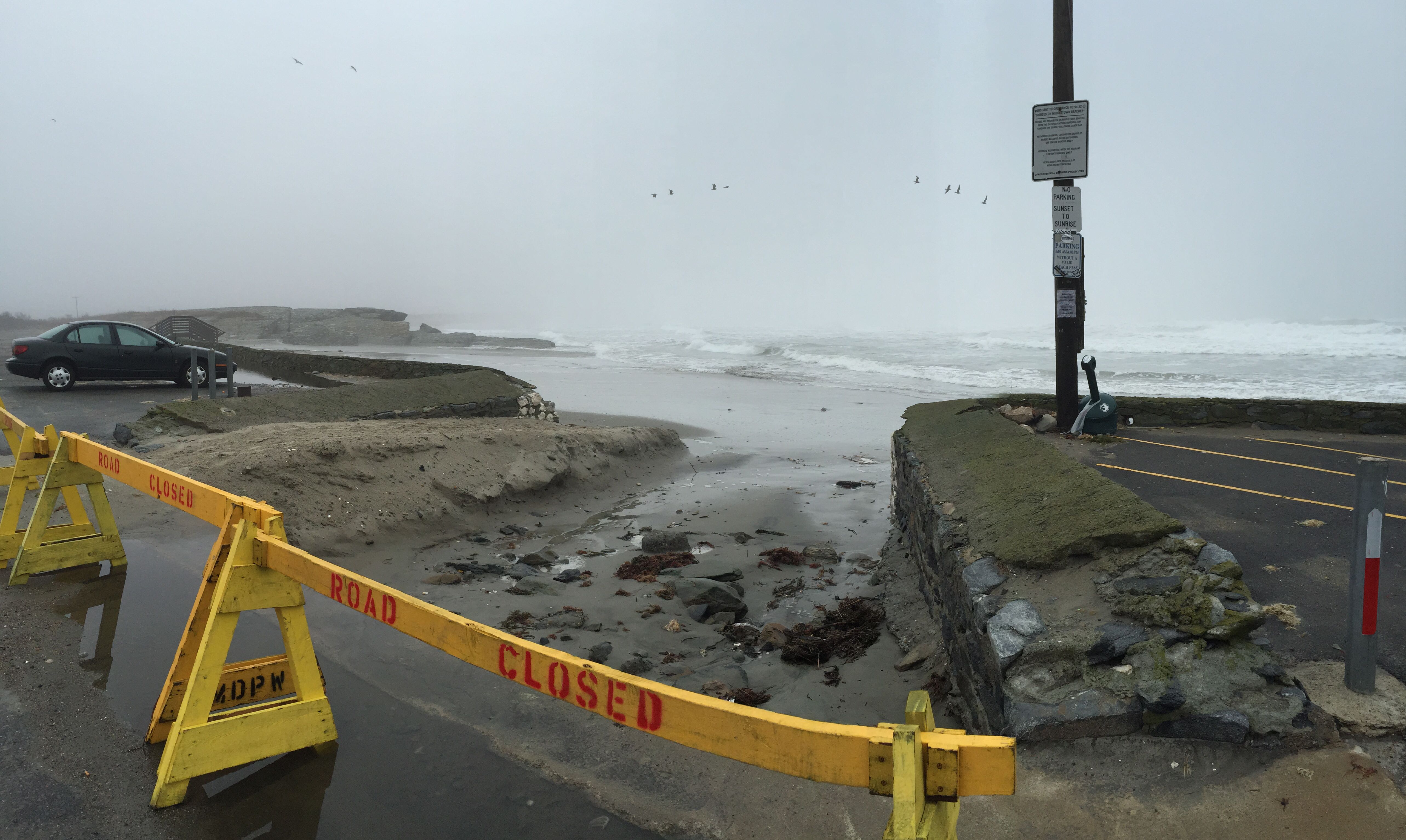
After storm events, it’s essential to perform infrastructure assessments as quickly as possible.
MyCoast enables state employees and “citizen scientists” to submit images, damage reports and associated location data about storm-damaged infrastructure. Our mobile apps make the submission process straightforward, and our servers allows state agencies to search, view and download this data easily.


