Roads
Street/Road: Unspecified
Specific Impacts:
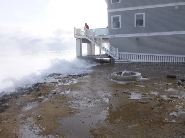
- Splashover
- Impacted, but passable
Marinas and Harbors
Buildings
Hazardous Materials
Beach
State: Inaccessible
Coastal Structures
Specific Impacts:
- Splashover
Natural Resources
Specific Impacts:
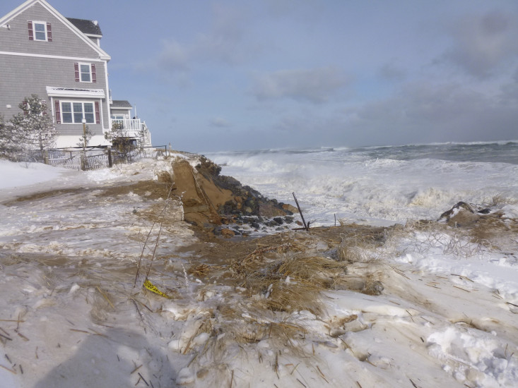
- Eroded beach
- Overwashed beach/dune
Current Response
Response:
- None

Tide Gauge
You must be logged in to post a comment.
"Looking north at Tzenikos lot. Significant cut through between rock faced dune on either side. Surf advanced over 40 feet in under an hour at the top of the tide. Rock face collapsing into hole on both sides as it develops. Looking south at Connors house from Nee lot. Rock face taking steady surf action with over wash on both sides. Over-wash occurs in several places along Annapolis Way."