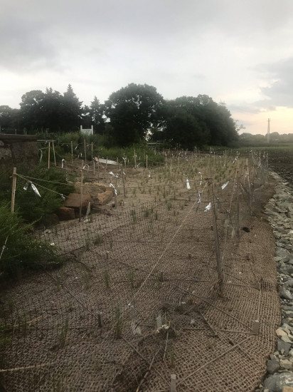
Photo description: Upstream salt marsh
Coastal resources in/directly adjacent to project footprint:
- coastal bank
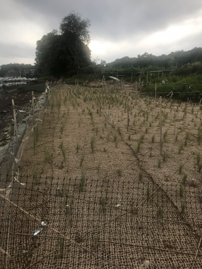
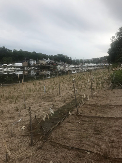
- salt marsh (estuarine/protected)
- intertidal (mud)
- intertidal (rock)
- tidal river
Project elevation:
- between MHW and mean low water (MLW)
Coastal infrastructure present at site:
- other
Type of other obstruction: rock sill
Site stability:
- stable
Vegetative cover of project area:
- sparse
Dominant vegetative type within project area: grasses
Displaced/unanchored and degraded project materials:
- none
You must be logged in to post a comment.