Barnstable County
Chatham, MA
Storm Report
Impacts Reported
User Submitted Data
Roads
Street/Road: Unspecified
Specific Impacts:
- Splashover
- Impacted, but passable
- Impassable (flood water)
Marinas and Harbors
Buildings
Hazardous Materials
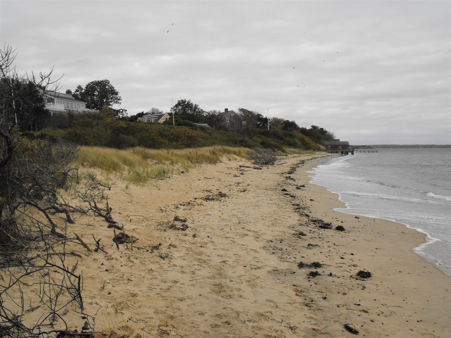
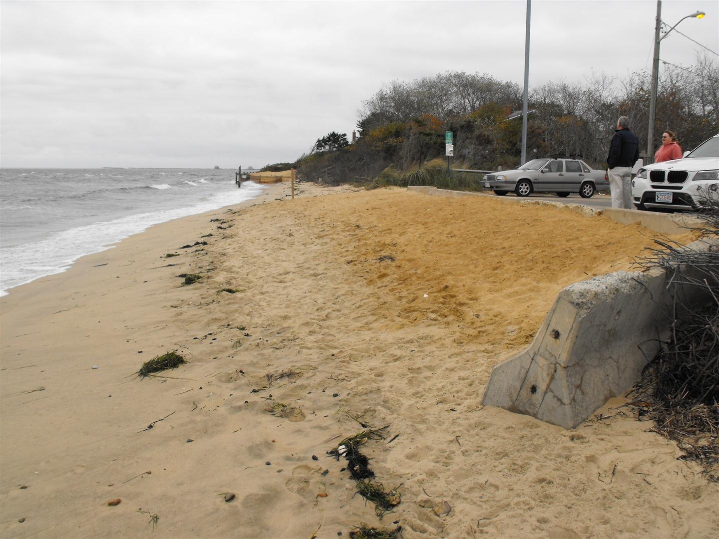
Beach
Coastal Structures
Specific Impacts:
- Splashover
Foot/Cycling Paths
Natural Resources
Specific Impacts:
- Damaged sand fencing
- Eroded beach
- Overwashed beach/dune
Current Response
Response:
- Dune building
Specific response: sand nourishment of street end
Tidal Overview
![]() 5 hours 0 minutes before high tide
5 hours 0 minutes before high tide
Data from Chatham Harbor, Aunt Lydias Cove (1.2 miles away)
Water Level (at time of report): 8:00 am, 2.2' MLLW
High Tide (Predicted): 1:09 pm, 5.5' MLLW
High Tide (Observed): 1:00 pm, 7' MLLW
Loading NOAA Tide Data…
■ Observed
■ Predicted water level
⬤ Report time
Weather Overview
Wind Speed: 11.4 MPH
Wind Direction: SE (130°)
Temperature: 61℉
Rainfall (Calendar Day): 0"
Rainfall (Past 24 Hours): 0.29"
You must be logged in to post a comment.