Roads
Street/Road: Unspecified
Marinas and Harbors
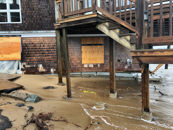
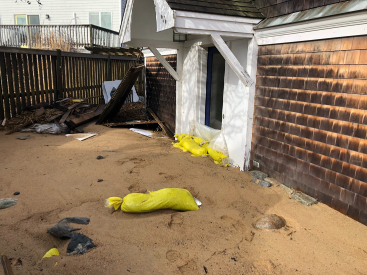
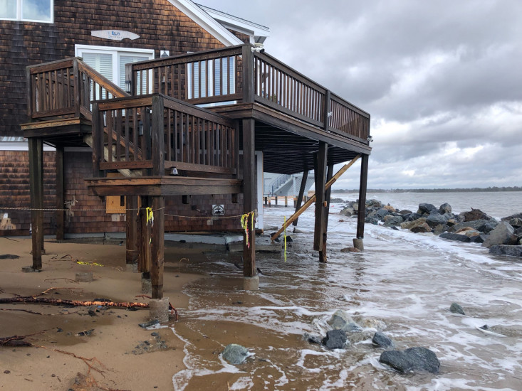
Buildings
Street: 15 73rd St
Specific Impacts:
- Water flow around or under buildings
- Damaged stairs/decks
- Damaged windows/sidings
- Displaced/destroyed
Comments: NBPT FD said open hole in foundation has ocean water and sand in the house. Waiting for Building Inspector to condemn house.
Hazardous Materials
Beach
Natural Resources
Specific Impacts:
- Overwashed beach/dune
Current Response
You must be logged in to post a comment.