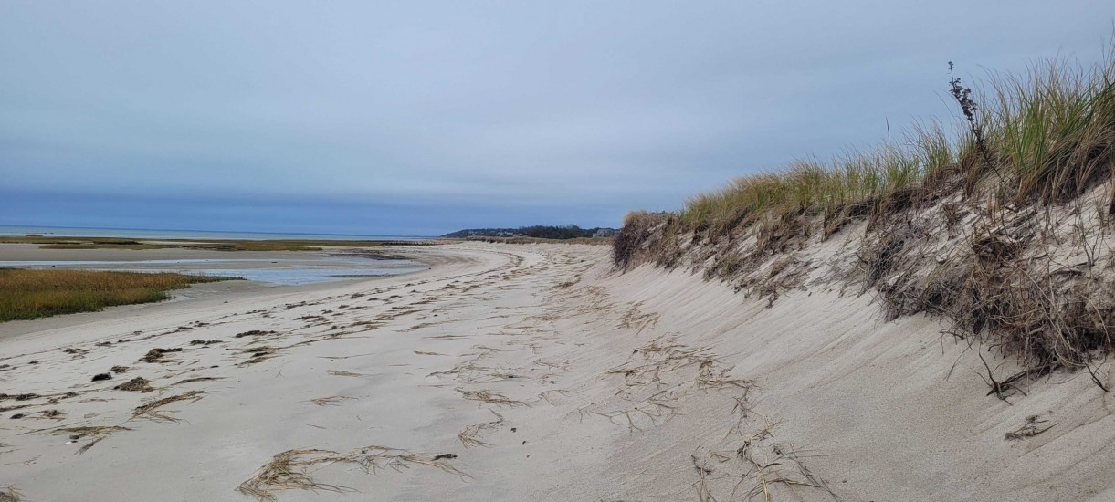
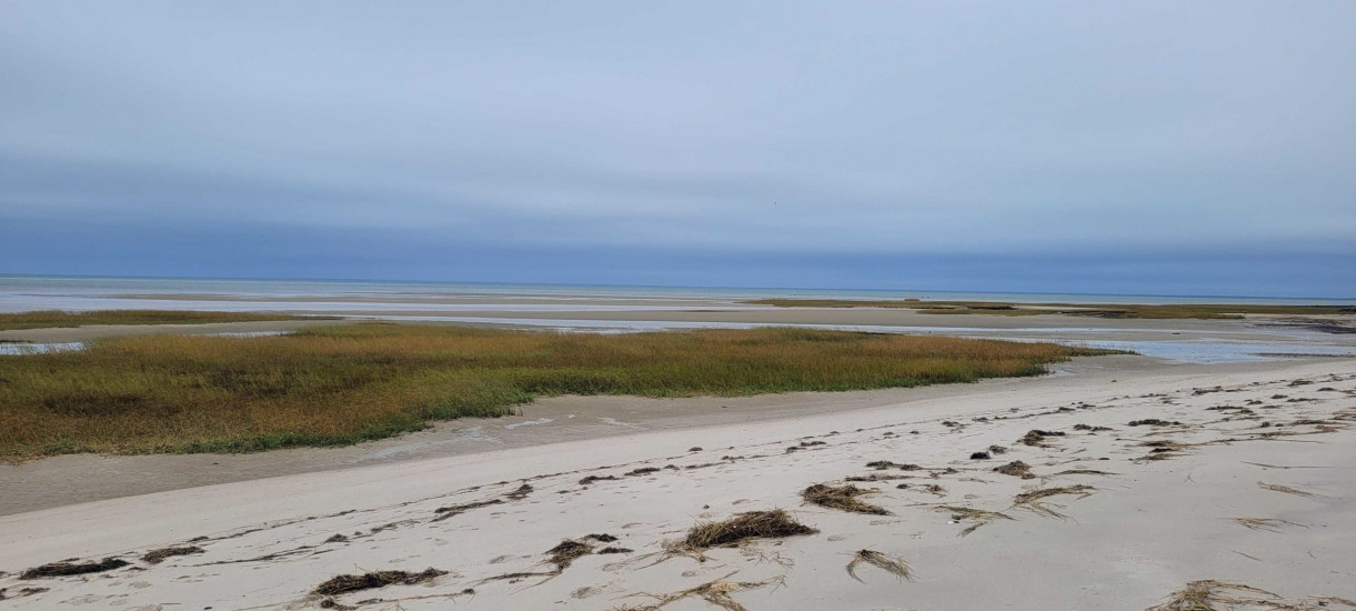
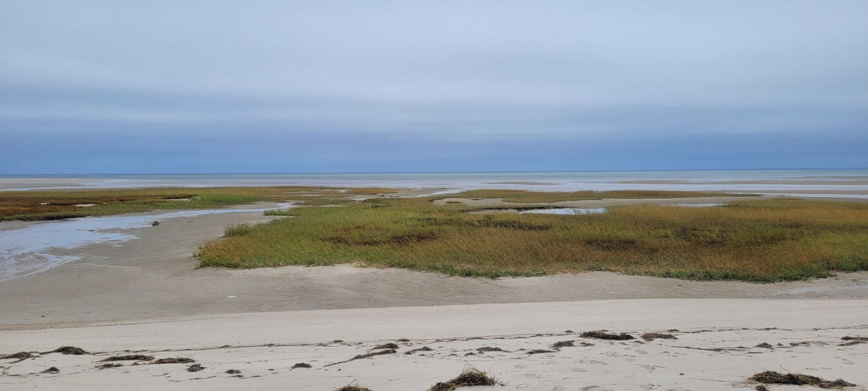
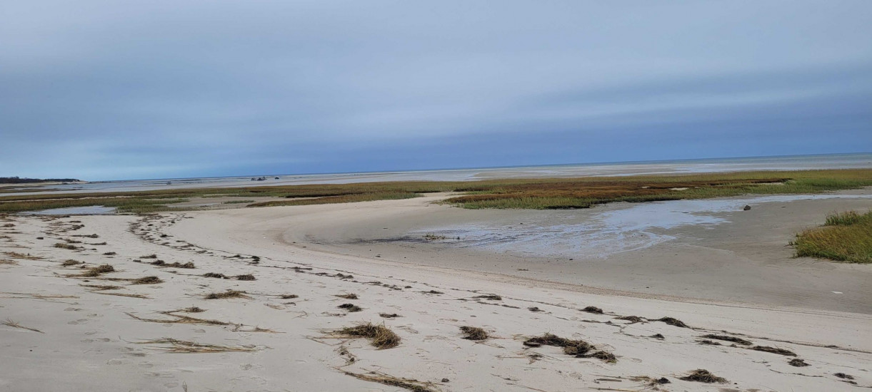
Coastal resources in/directly adjacent to project footprint:
- beach (sandy)
- beach (mixed sediment)
- dune
- coastal bank
- salt marsh (fronting beach)
- intertidal (mud)
- intertidal (sand)
Coastal infrastructure present at site:
- none
Site stability:
- unknown
Vegetative cover of project area:
- moderate (25-75%)
Dominant vegetative type within project area: grasses
Displaced/unanchored and degraded project materials:
- none
Human impacts at project site:
- foot traffic
- vehicles
Marine-related impacts:
- wrack
- marine debris
You must be logged in to post a comment.