
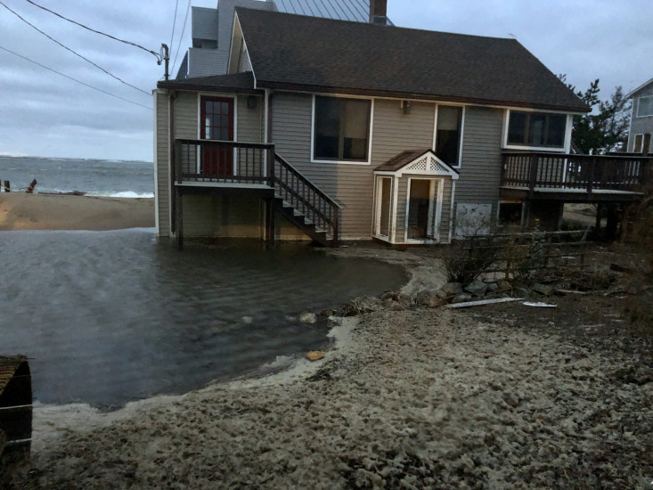
Roads
Street/Road: Unspecified
Specific Impacts:
- Splashover
- Impassable (overwash)
Comments: Several feet of overwash and sand surrounds this house (which is the 2nd house on right and behind the elevated house). Completely inaccessible.
Marinas and Harbors
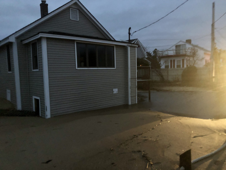
Buildings
Street: 75th Street
Specific Impacts:
- Water flow around or under buildings
- Damaged windows/sidings
Comments: Several feet of overwash and sand surrounds this house (which is the 2nd house on right and behind the elevated house). This house likely has feet of water and sand in the basement. Completely inaccessible.
Hazardous Materials
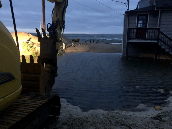
Beach
State: Accessible
Coastal Structures
Natural Resources
Current Response
You must be logged in to post a comment.