Roads
Street/Road: Unspecified
Specific Impacts:
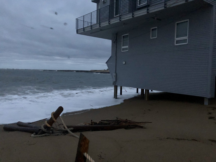
- Splashover
- Impassable (flood water)
- Impassable (overwash)
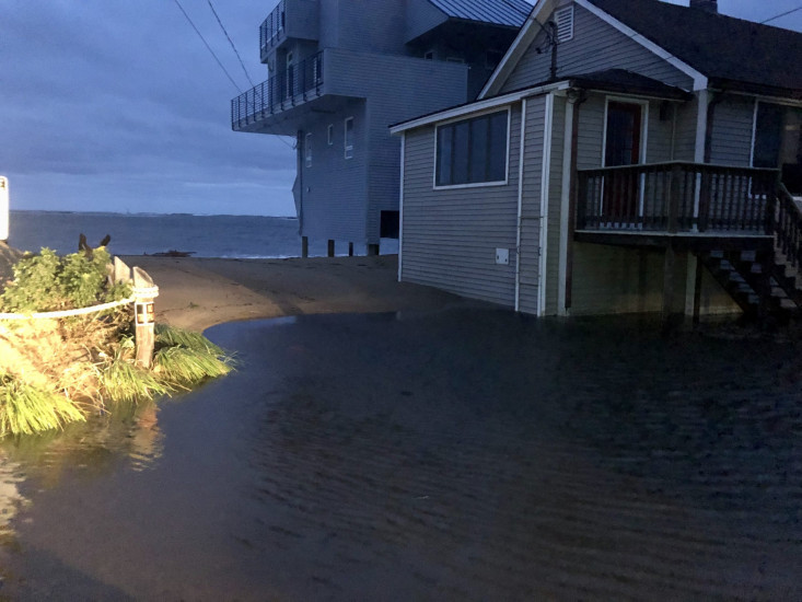
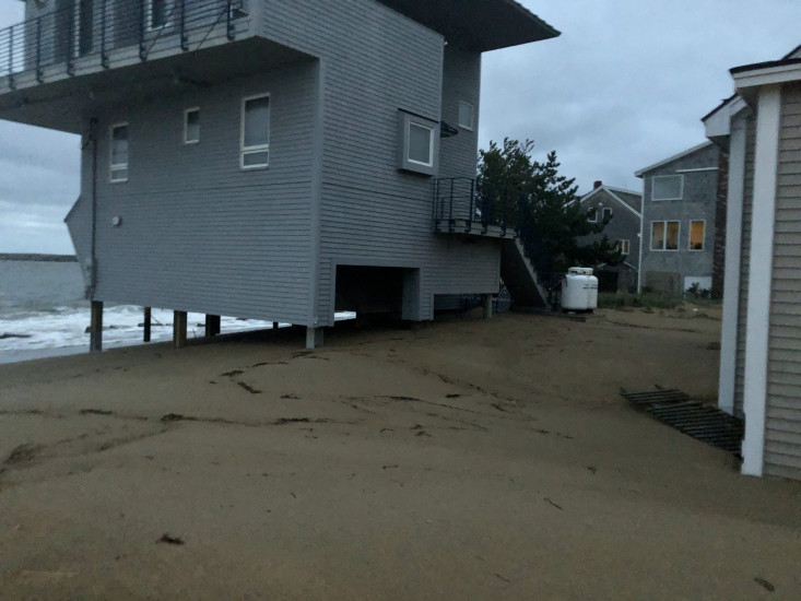
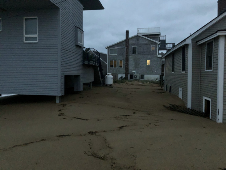
Comments: There is several feet of sand and water at the end of 75th Street. Access to the last two houses are inaccessible.
Marinas and Harbors
Buildings
Street: 75th Street
Specific Impacts:
- Water flow around or under buildings
- Damaged windows/sidings
Comments: Several feet of sand migrated under the elevated house at the end of 75th Street and buried their driveway. The house behind it is surrounded by feet of sand and water.
Hazardous Materials
Beach
State: Accessible
Coastal Structures
Natural Resources
Current Response
You must be logged in to post a comment.