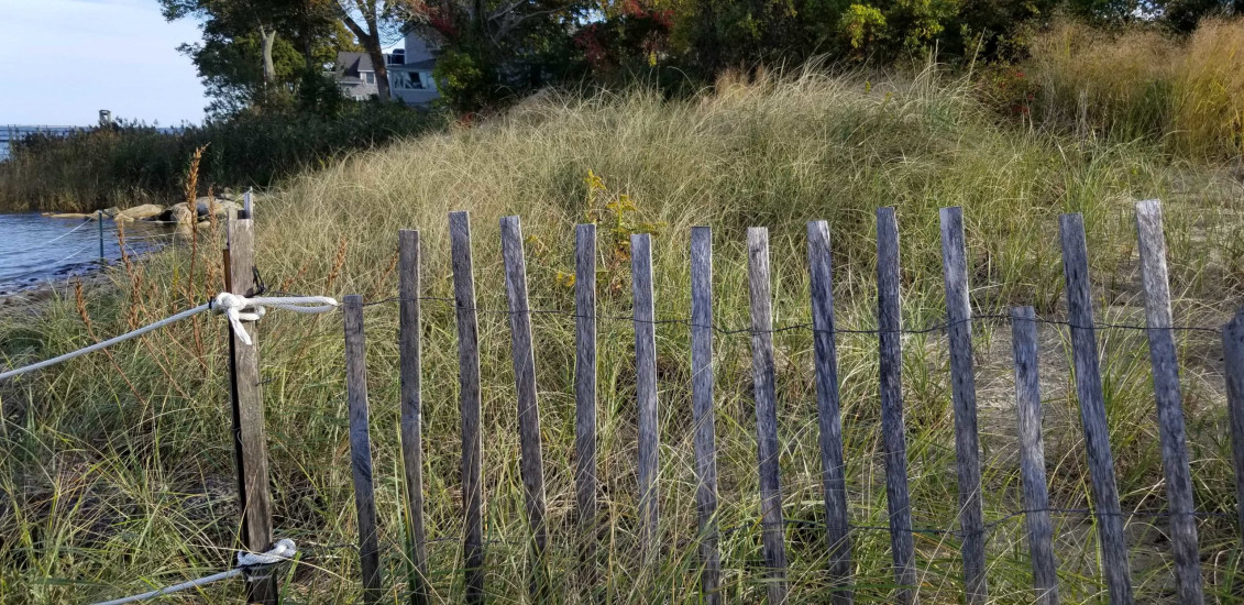
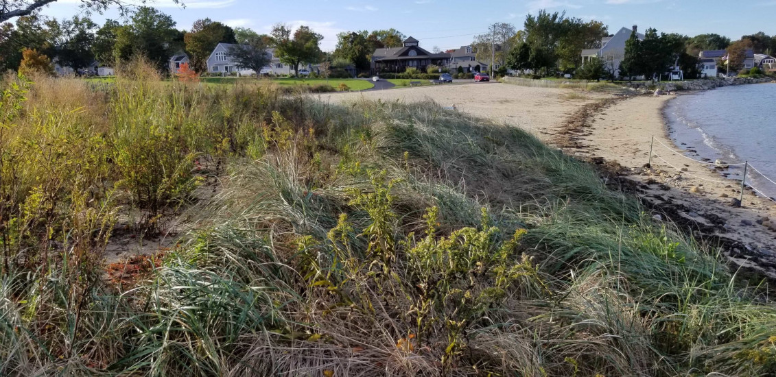
Photo description: GB-SLS-4
Coastal resources in/directly adjacent to project footprint:
- dune
- coastal bank
Project elevation:
- above mean high water (MHW)
Coastal infrastructure present at site:
- groin/jetty
Site stability:
- stable
Vegetative cover of project area:
- dense
Dominant vegetative type within project area: grasses
Displaced/unanchored and degraded project materials:
- coir rolls
Human impacts at project site:
- foot traffic
You must be logged in to post a comment.
"Foot traffic cutting across S end of dune toe."