
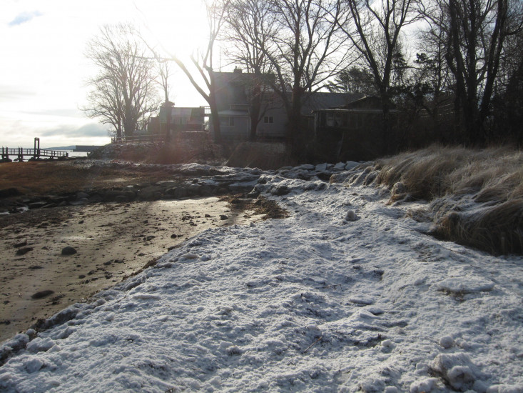
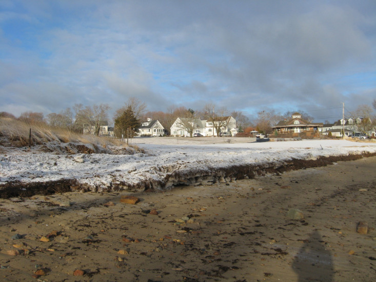
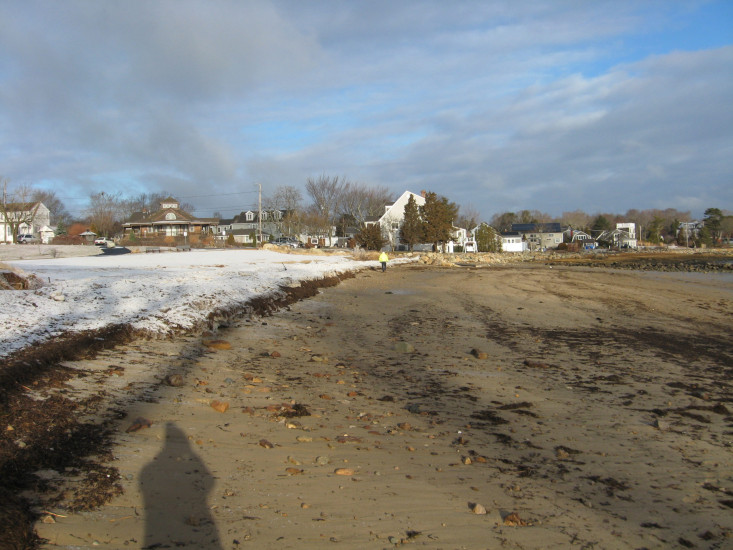
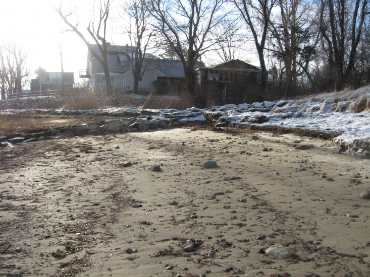
Photo description: GB-SLS-1 Grays Beach southern living shoreline after storm on February 1-2 2021
Coastal resources in/directly adjacent to project footprint:
- dune
- coastal bank
- salt marsh (fronting beach)
Project elevation:
- between MHW and mean low water (MLW)
Coastal infrastructure present at site:
- other
Type of other obstruction: Stream and boulders along southerly border
Site stability:
- eroding
Vegetative cover of project area:
- none
Dominant vegetative type within project area: none
Displaced/unanchored and degraded project materials:
- coir rolls
- rocks
Human impacts at project site:
- runoff
Marine-related impacts:
- sea ice
- wrack
- storm damage
You must be logged in to post a comment.
"GB-SLS-1 Grays Beach southern living shoreline after storm on February 1-2 2021"