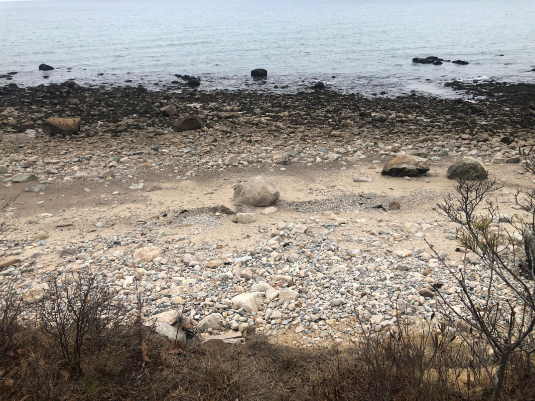
Photo description: Cliff at Center hill preserve Plymouth Massachusetts
Coastal resources in/directly adjacent to project footprint:
- beach (sandy)
- beach (mixed sediment)
- beach (cobble)
- coastal bank
- intertidal (mud)
- intertidal (sand)
- intertidal (rock)
Project elevation:
- above mean high water (MHW)
Coastal infrastructure present at site:
- none
Site stability:
- eroding
Vegetative cover of project area:
- sparse (<25%)
Dominant vegetative type within project area: shrubs
Displaced/unanchored and degraded project materials:
- rocks
Marine-related impacts:
- wrack
- marine debris
- storm damage
You must be logged in to post a comment.