
Plymouth County
Kingston, MA

Coastal Resilience Report
User Submitted Data
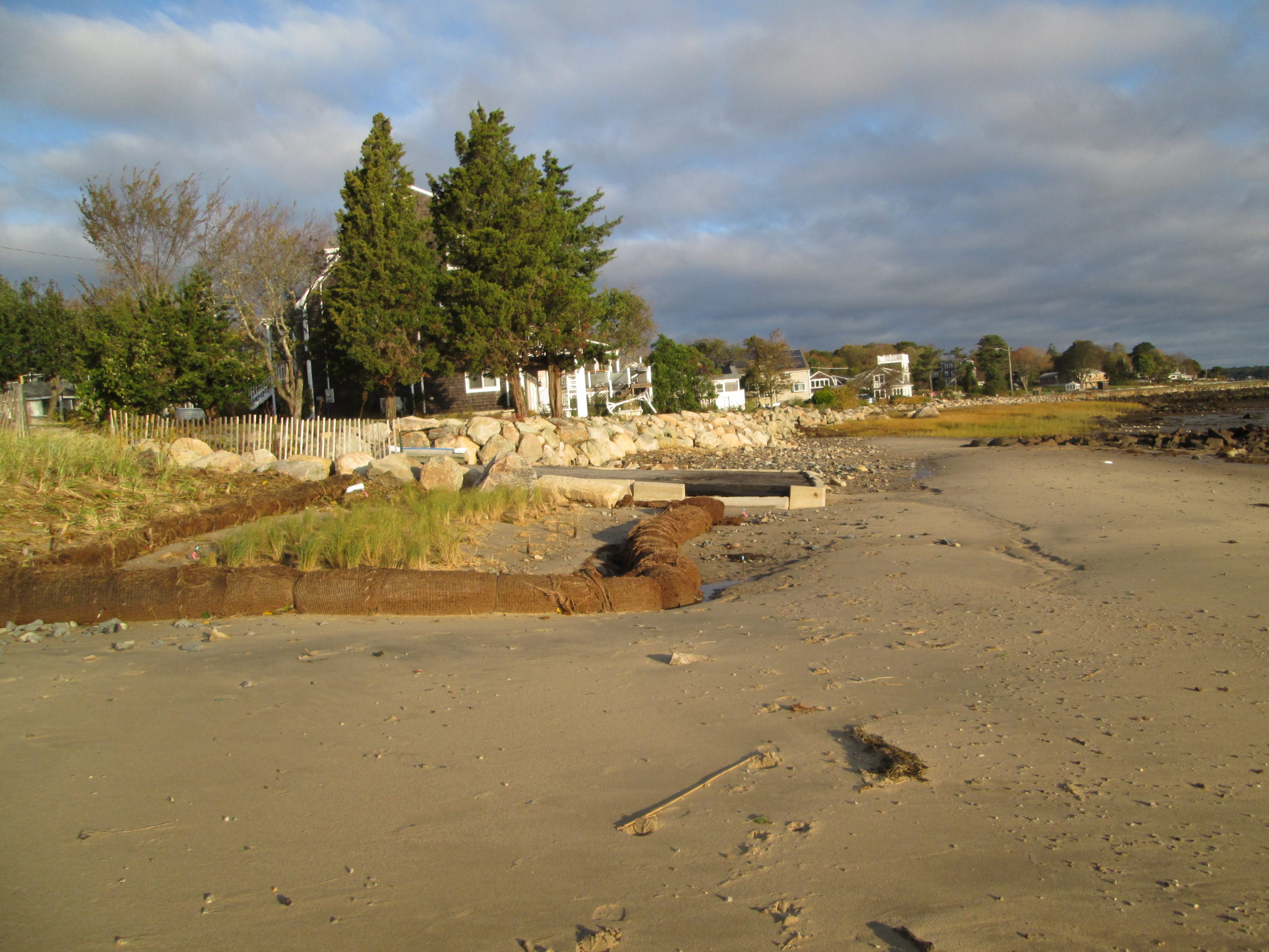
Photo description: GB-NLS-1: Seaward of lowest coir/beach
Coastal resources in/directly adjacent to project footprint:
- beach (sandy)
- beach (mixed sediment)
Project elevation:
- between MHW and mean low water (MLW)
Coastal infrastructure present at site:
- other
Type of other obstruction: Boat ramp
Site stability:
- eroding
Vegetative cover of project area:
- none
Marine-related impacts:
- wrack
You must be logged in to post a comment.
GB-NLS-1: Seaward of lowest coir/beach