Plymouth County
Kingston, MA
Coastal Resilience Report
User Submitted Data
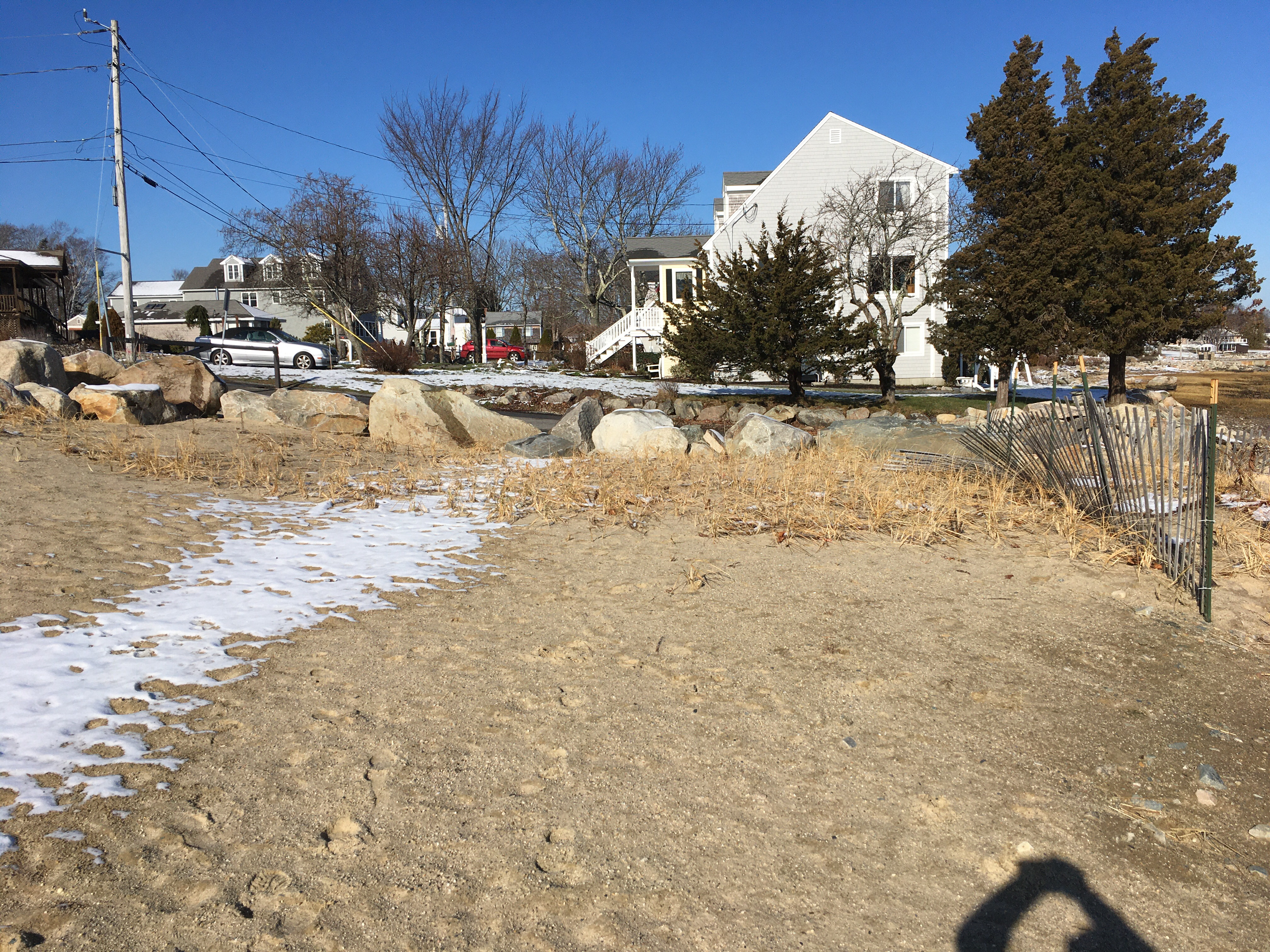
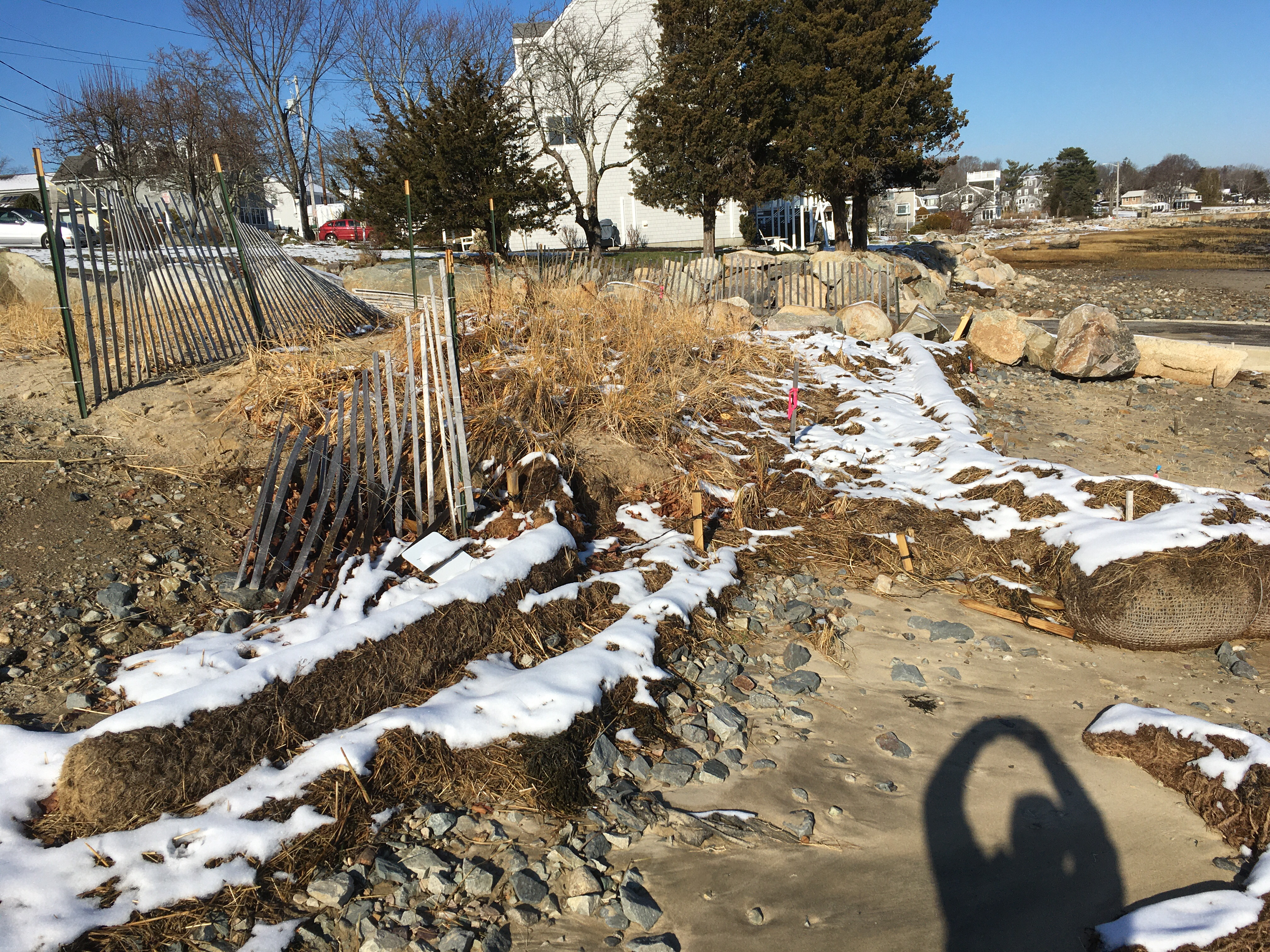
Photo description: GB-NLS-4 Top of dune (first photo). GB-NSL-3 Upper coir log/high marsh (second photo).
Coastal resources in/directly adjacent to project footprint:
- dune
Project elevation:
- above mean high water (MHW)
Coastal infrastructure present at site:
- groin/jetty
- other
Type of other obstruction: Boat ramp
Site stability:
- eroding
Vegetative cover of project area:
- moderate (25-75%)
Dominant vegetative type within project area: grasses
Displaced/unanchored and degraded project materials:
- coir rolls
Marine-related impacts:
- wrack
- storm damage
Tidal Overview
![]() 5 hours 0 minutes after high tide
5 hours 0 minutes after high tide
Data from Plymouth (2.8 miles away)
High Tide (Predicted): 5:47 am, 8.8' MLLW
Loading NOAA Tide Data…
■ Observed
■ Predicted water level
⬤ Report time
Weather Overview
Wind Speed: 10.1 MPH
Wind Direction: WNW (284°)
Temperature: 40℉
Rainfall (Calendar Day): 0"
Rainfall (Past 24 Hours): 0.01"
You must be logged in to post a comment.
GB-NLS-3/GB-NSL-4 Post-storm report. Pre-storm report entered on 11/25/19 (also tagged as fall 2019 monitoring).