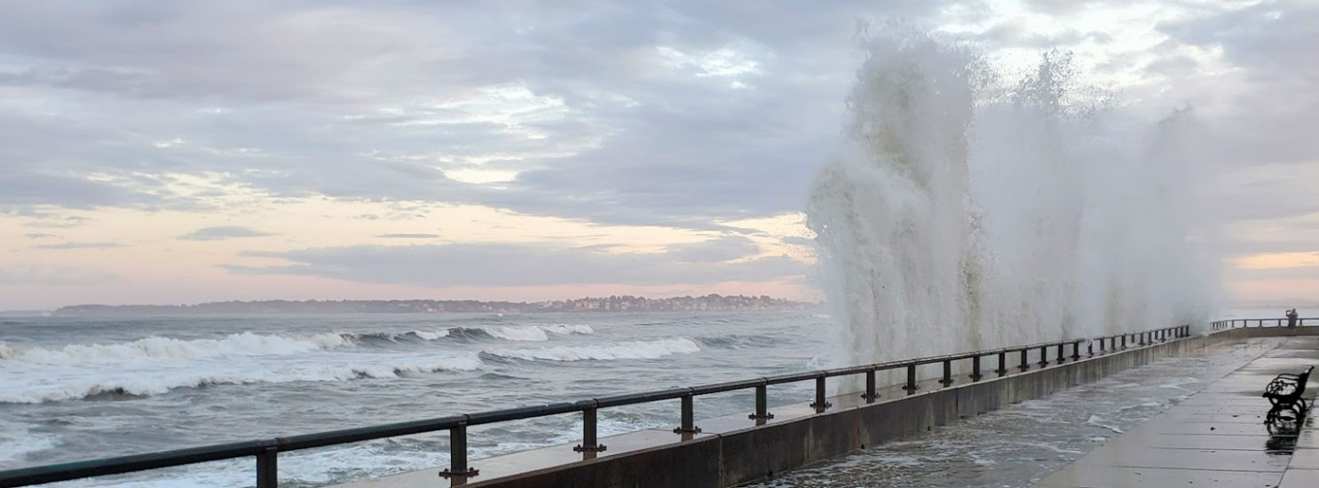
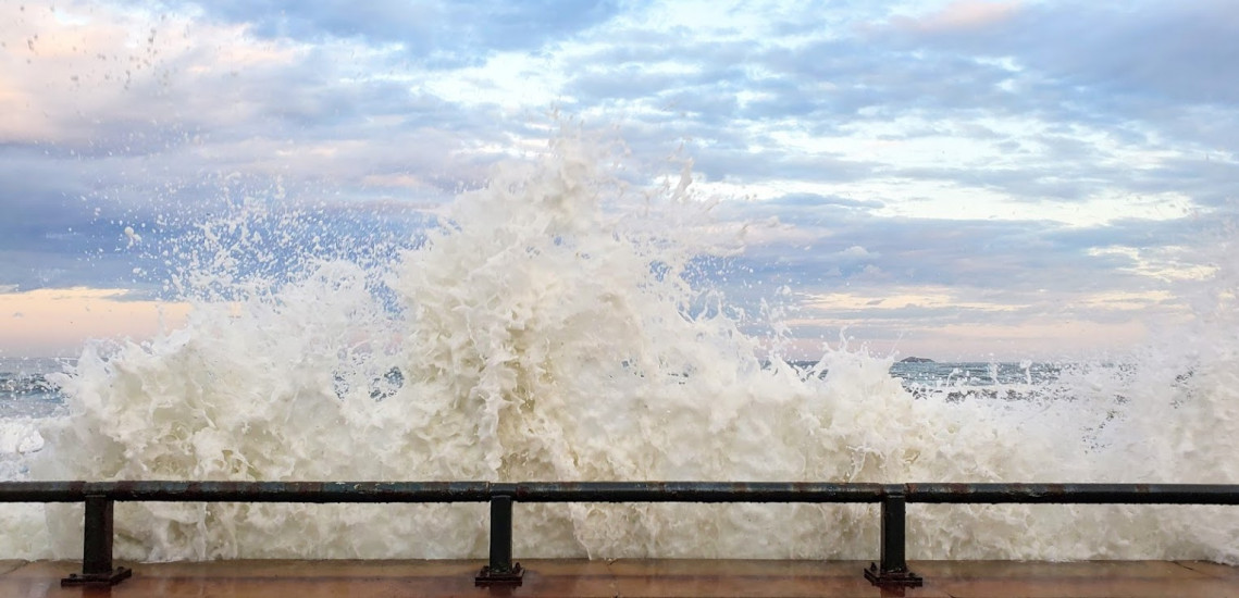
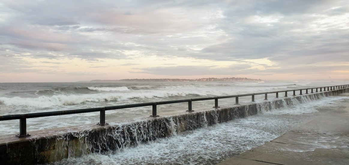
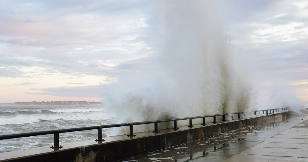
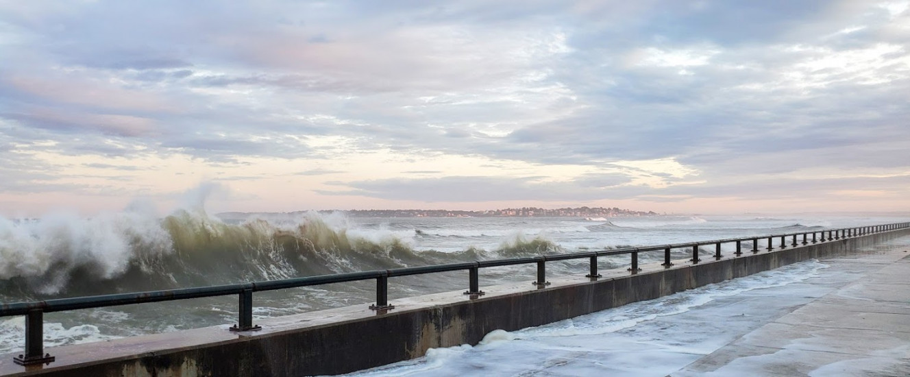
Photo description: After hurricane Dorian (and after most regular nor'easters) Lynn and Swampscott neighbors visit the shoreline to marvel at the beauty of the waves. Yet the impact of the crashing water takes a toll on the concrete walls and on route 129 which is frequently covered with the surf and spray and is a main artery for life on the North Shore.
Coastal resources in/directly adjacent to project footprint:
- beach (sandy)
- beach (mixed sediment)
- intertidal (mud)
- intertidal (sand)
- intertidal (rock)
Coastal infrastructure present at site:
- bulkhead/seawall
Site stability:
- unknown
Vegetative cover of project area:
- sparse (<25%)
Dominant vegetative type within project area: submerged aquatic vegetation (e.g., eelgrass)
Human impacts at project site:
- runoff
- foot traffic
- vehicles
Marine-related impacts:
- marine debris
- storm damage
1 Comment. Leave new
Thank you for highlighting this vulnerable area.