Report type: Post-storm
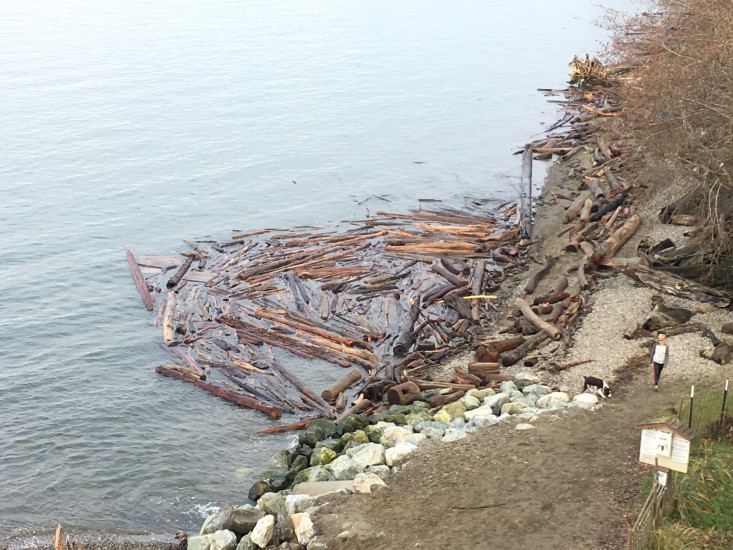
Other debris: Trees and logs
Measurement represents:
- Inundation: most landward point the water reaches, often coincides with runup, but can differ if a berm or seawall is higher than the elevation at the inundation point
- Erosion: often in the form of scarps, slumps, vegetation line retreat, bluffs slides, etc.
Wave height: 0ft
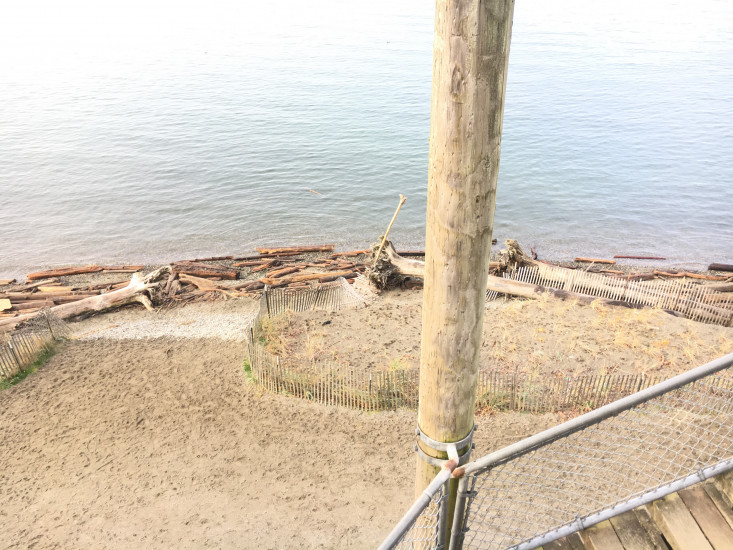
Stake number: 1
Stake Photo

Latitude: 47.9640355055
Longitude: -122.240773542
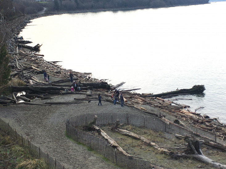
From Vantage Point
Latitude: 47.9640355055
Longitude: -122.240773542
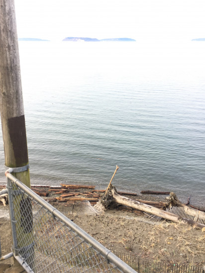
Beach Profile #1
Latitude: 47.9640355055
Longitude: -122.240773542
Taken from: West
Beach Profile #2
Latitude: 47.9640355055
Longitude: -122.240773542
Taken from: North
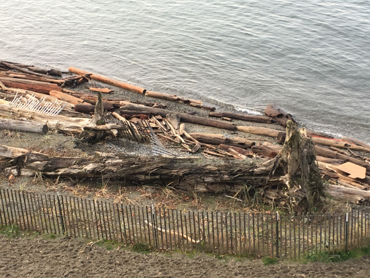
Reference Feature
Latitude: 47.9640339548
Longitude: -122.240703469
Substrate
Latitude: 47.9640339548
Longitude: -122.240703469

Tide Gauge
You must be logged in to post a comment.