Roads
Street/Road: Unspecified
Marinas and Harbors
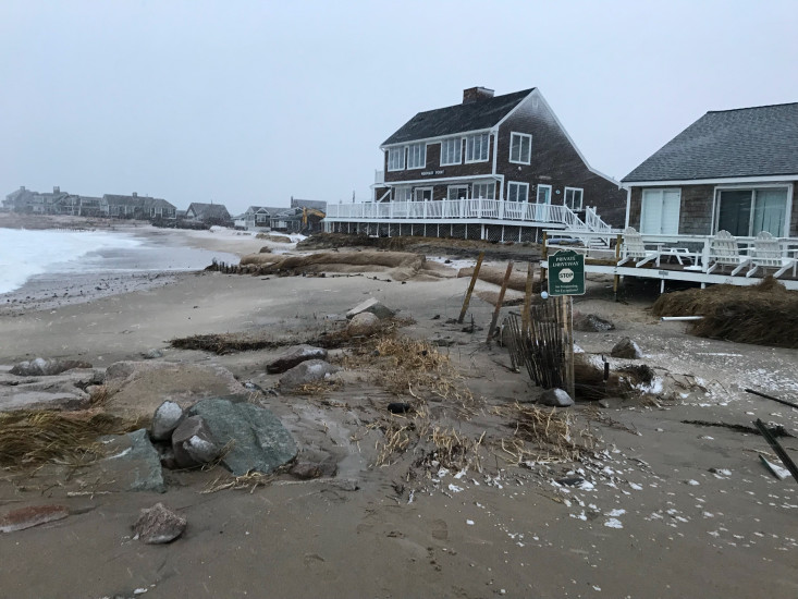
Buildings
Specific Impacts:
- Damaged stairs/decks
- Damaged windows/sidings
- Damaged walls/roofs
Comments: Hard to know if all damage might be from storm 3 days again, but I think there is a bit more now. Also, they installed a sand berm between the storms that appears to have greatly reduced the flooding this time.
Hazardous Materials
Beach
State: Accessible
Coastal Structures
Specific Impacts:
- Damaged groin/jetty
Natural Resources
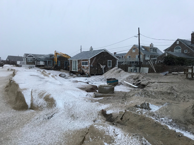
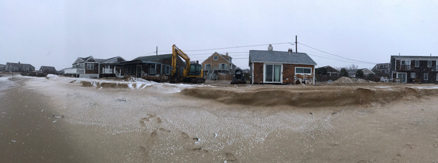
Current Response
Response:
- Dune building

Tide Gauge
You must be logged in to post a comment.