
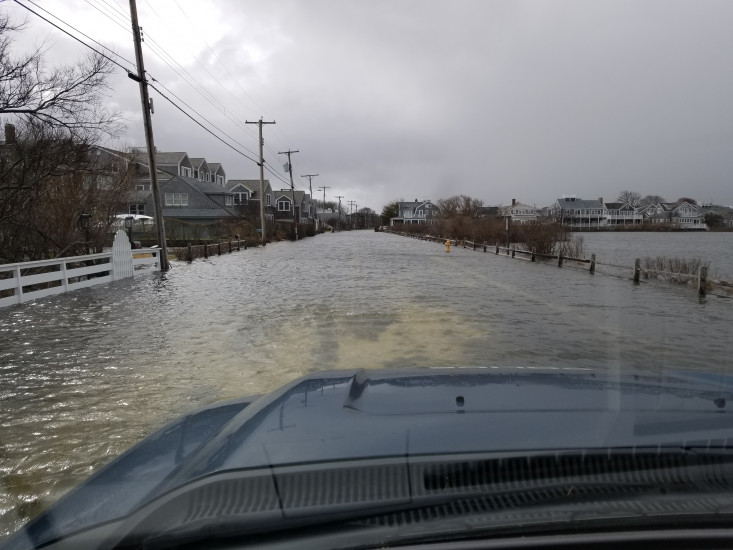
Roads
Street/Road: Unspecified
Specific Impacts:
- Splashover
- Impassable (flood water)
Comments: Most roads in Brant Point still under seawater. Pumping efforts continue.
Marinas and Harbors
Buildings
Hazardous Materials
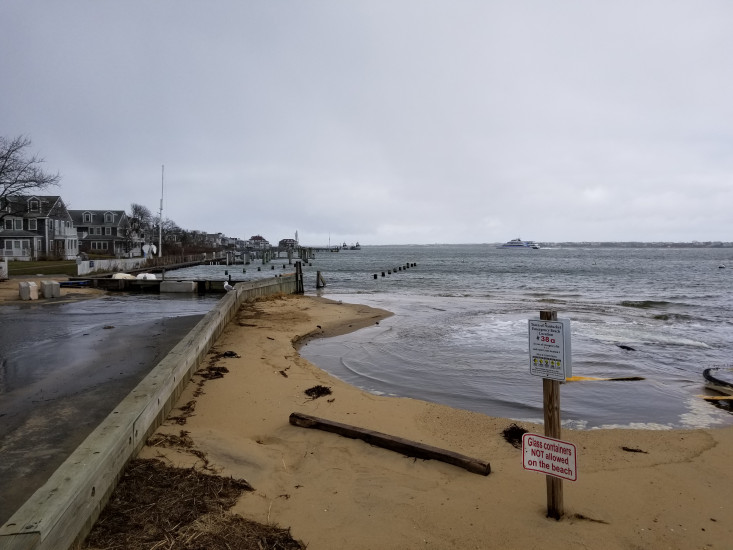
Beach
State: Accessible
Coastal Structures
Natural Resources
Specific Impacts:
- Eroded beach
Current Response
Response:
- Other
Specific response: Pumping seawater off streets. Auxiliary pumps added.
You must be logged in to post a comment.