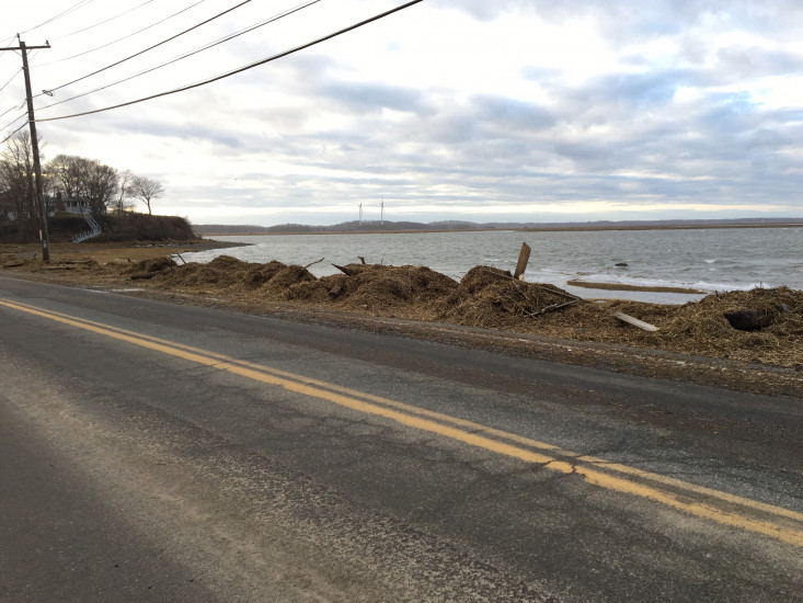
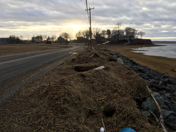
Ipswich, MA (Near the mouth of Eagle Hill River, Jeffrey's Neck Road, Ipswich)

Essex County

Impacts Reported


Roads

Street/Road: Unspecified

Marinas and Harbors
Buildings
Hazardous Materials
Beach

State: Accessible

Coastal Structures
Natural Resources

Specific Impacts:

  • Wrack on wetlands

Current Response

03/03/2018 | 4:47 pm

Tidal Overview

4 hours 26 minutes after high tide

Data from Plum Island Sound (south end) (1.5 miles away)

High Tide (Predicted): 12:21 pm, 10.3'

Observed Predicted water level Report time

Weather Overview

Wind Speed: 20.9 MPH

Wind Direction: NNE (27°)

Temperature: 42℉

Rainfall (Calendar Day): 0"

Rainfall (Past 24 Hours): 0.18"

(Click here for full weather details)


You must be logged in to post a comment.