Marblehead, MA (Gas house beach Marblehead)
Essex County
Storm Report
03/02/2018 | 11:50 am
Impacts Reported
Roads
Street/Road: Unspecified
Marinas and Harbors
Buildings
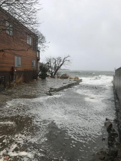
Street: Gas house lane
Specific Impacts:
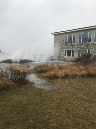
- Water flow around or under buildings
Comments: Water and waves pounding house as well as commercial building on Doaks Lane.
Hazardous Materials
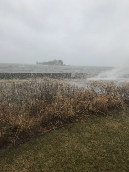
Beach
State: Inaccessible
Comments: Tide so high no beach at all
Coastal Structures
Specific Impacts:
- Splashover
Comments: Likely damage will be evident once waves and water recede
Natural Resources
Specific Impacts:
- Eroded beach
- Eroded dune
Current Response
Response:
- None
You must be logged in to post a comment.