Marblehead, MA (Causeway at Marblehead Neck)
Essex County
Storm Report
03/02/2018 | 11:23 am
Impacts Reported
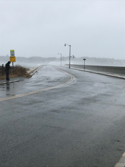
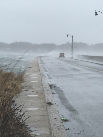
Roads
Street/Road: Unspecified
Specific Impacts:
- Splashover
- Impassable (flood water)
- Impassable (overwash)
Comments: Causeway is closed by police - but they are letting emergency personnel through. Though car in photo ended up backing up and waiting.
Marinas and Harbors
Buildings
Hazardous Materials
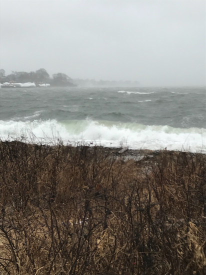
Beach
State: Accessible
Coastal Structures
Natural Resources
Specific Impacts:
- Eroded beach
Comments: River head beach is topped out and will likely be eroded.
Current Response
You must be logged in to post a comment.