Roads
Street/Road: Unspecified
Marinas and Harbors
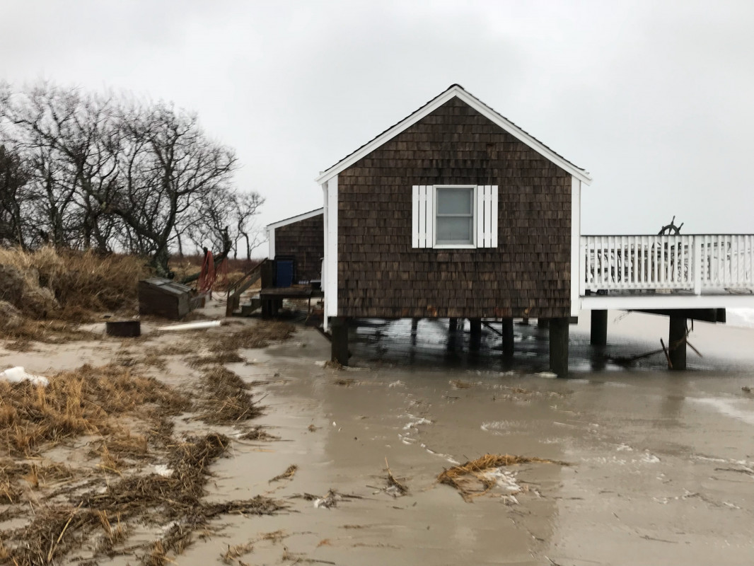
Buildings
Specific Impacts:
- Water flow around or under buildings
- Damaged windows/sidings
Hazardous Materials
Beach
Natural Resources
Specific Impacts:
- Damaged sand fencing
- Eroded beach
- Overwashed beach/dune
Comments: Wrack up to 10 contour/ 100 yr floodplain. Other buildings nearby have wind damage
Current Response
You must be logged in to post a comment.