Snohomish County
Stanwood, WA
Storm Surge Report
User Submitted Data
Report type: Post-storm
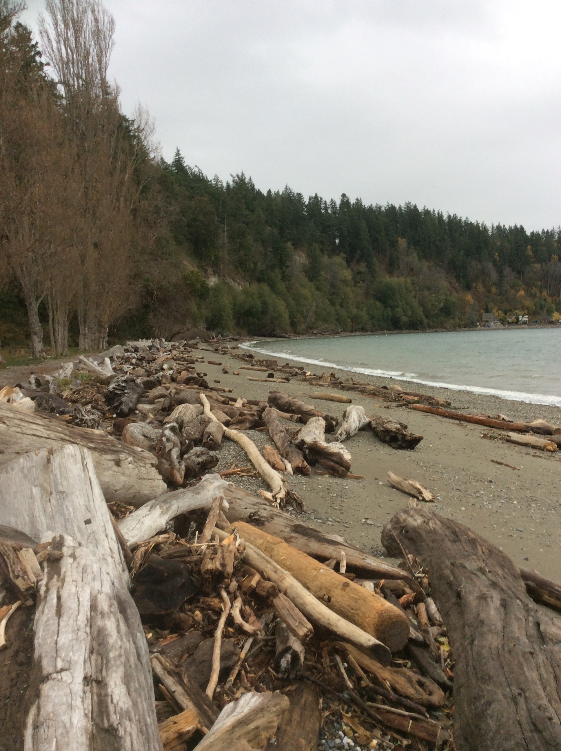
Debris seen:
- Boulders
- Cobbles
- Coarse gravel
- Medium gravel
- Fine gravel
- Coarse sand
- Medium sand
- Fine sand
Other debris: Logs, branches, wood, trash-mixed debris.
Measurement represents:
- debris line
Wave height: 1.5ft
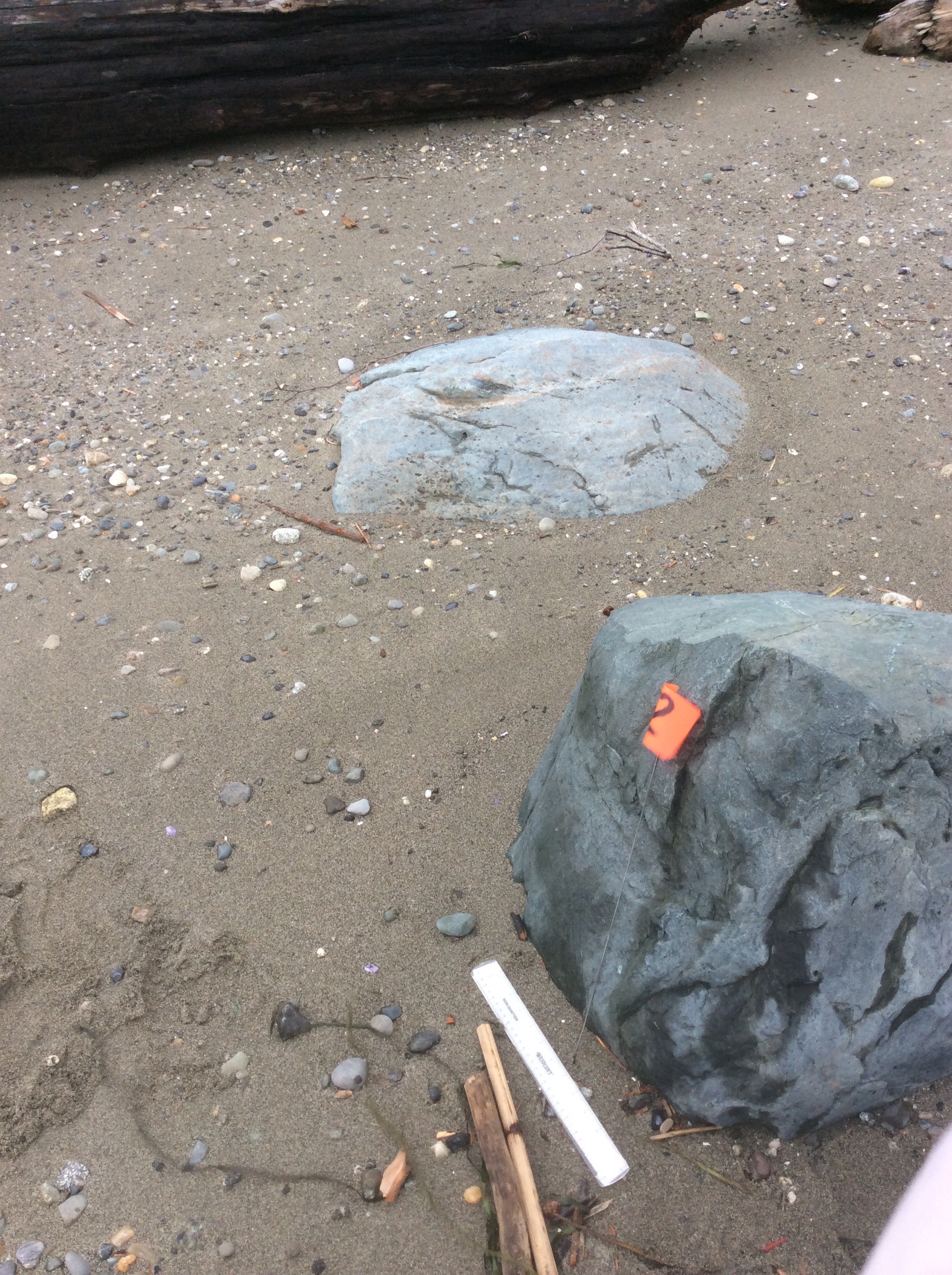
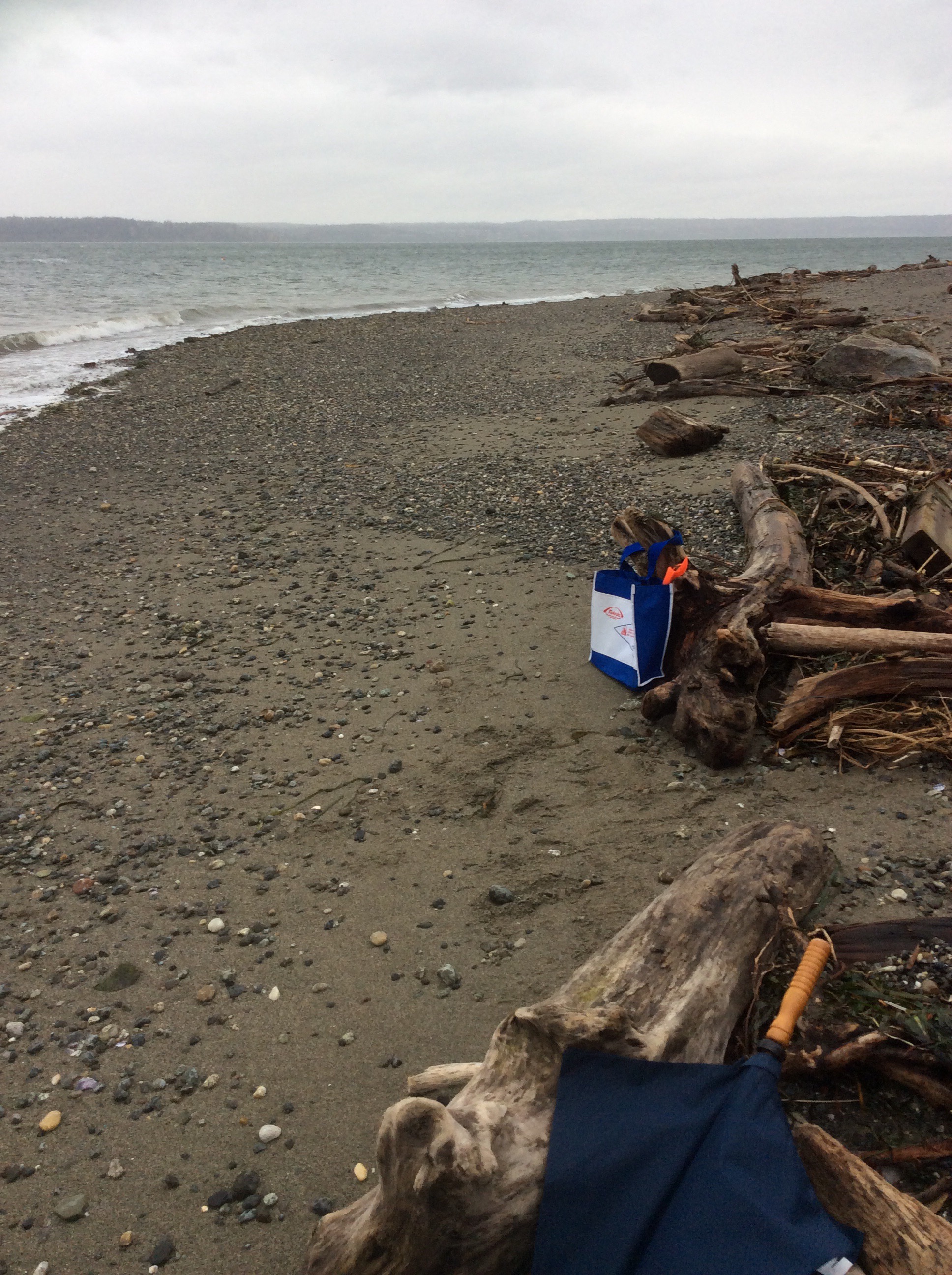
Stake number: 2
Stake Photo
Latitude: 48.1347241626
Longitude: -122.367778234
From Vantage Point
Latitude: 48.134750356
Longitude: -122.367720399
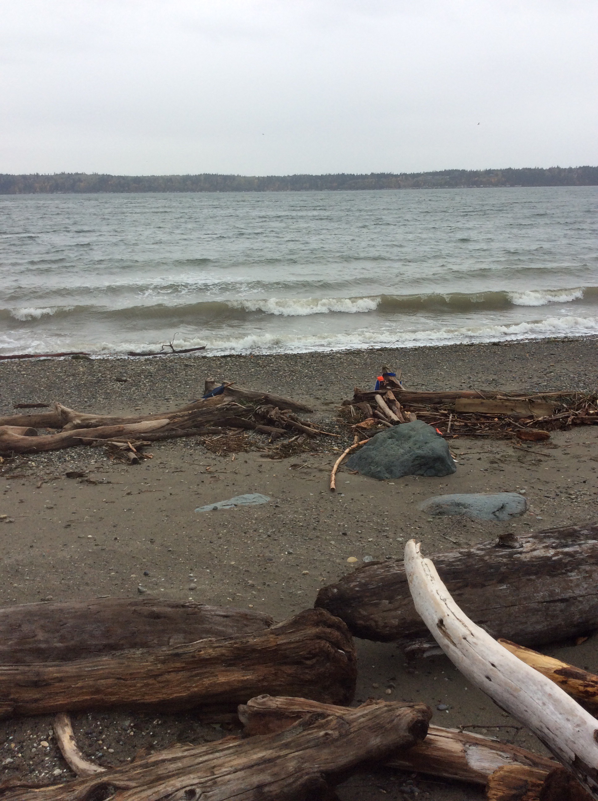
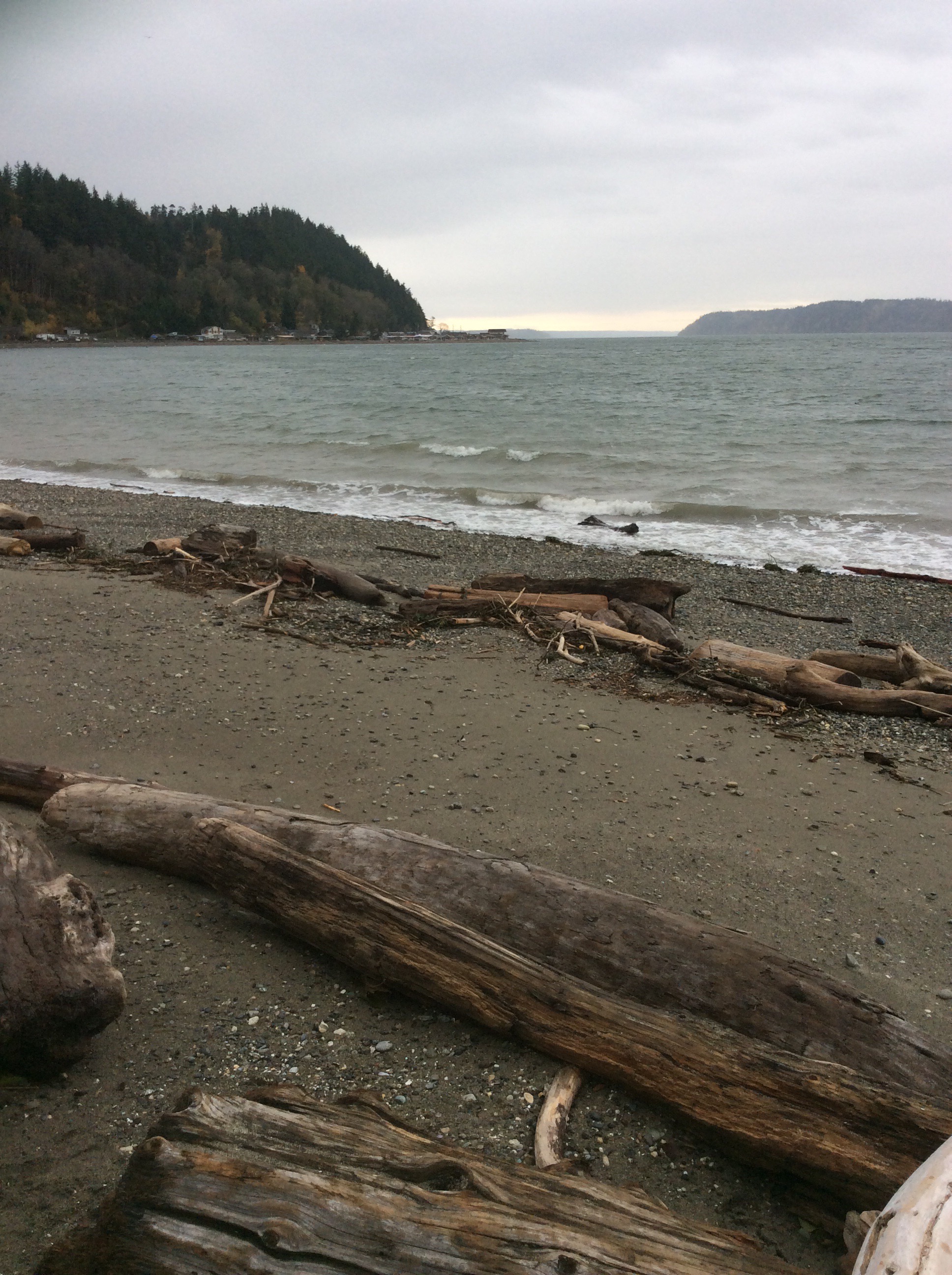
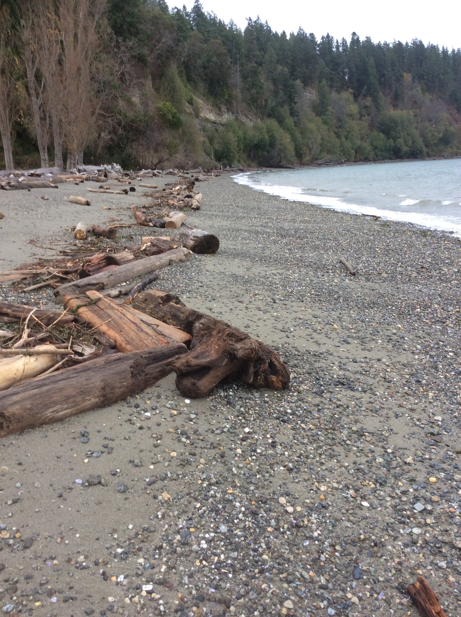
Beach Profile #1
Latitude: 48.134719343
Longitude: -122.367753424
Taken from: West
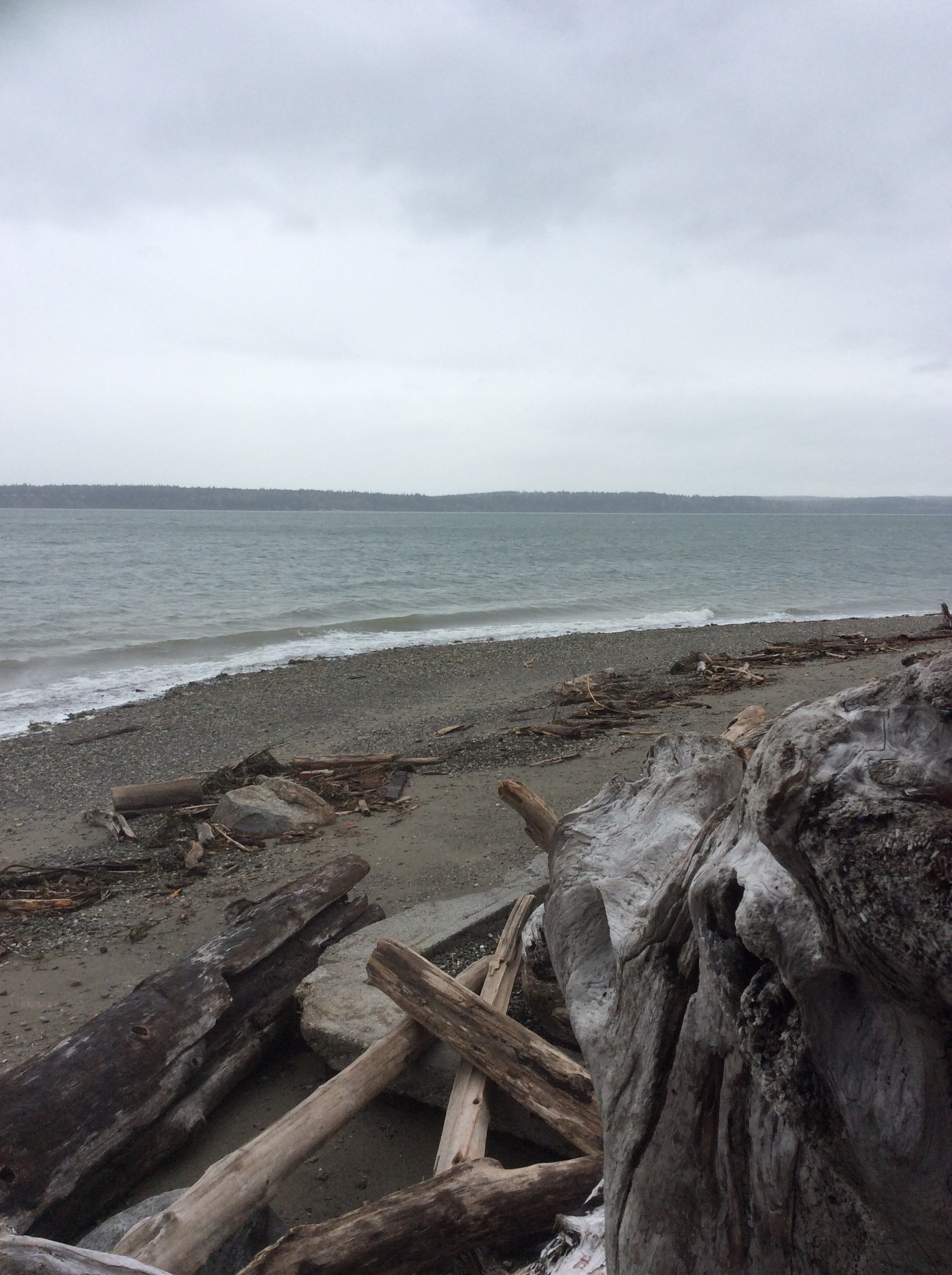
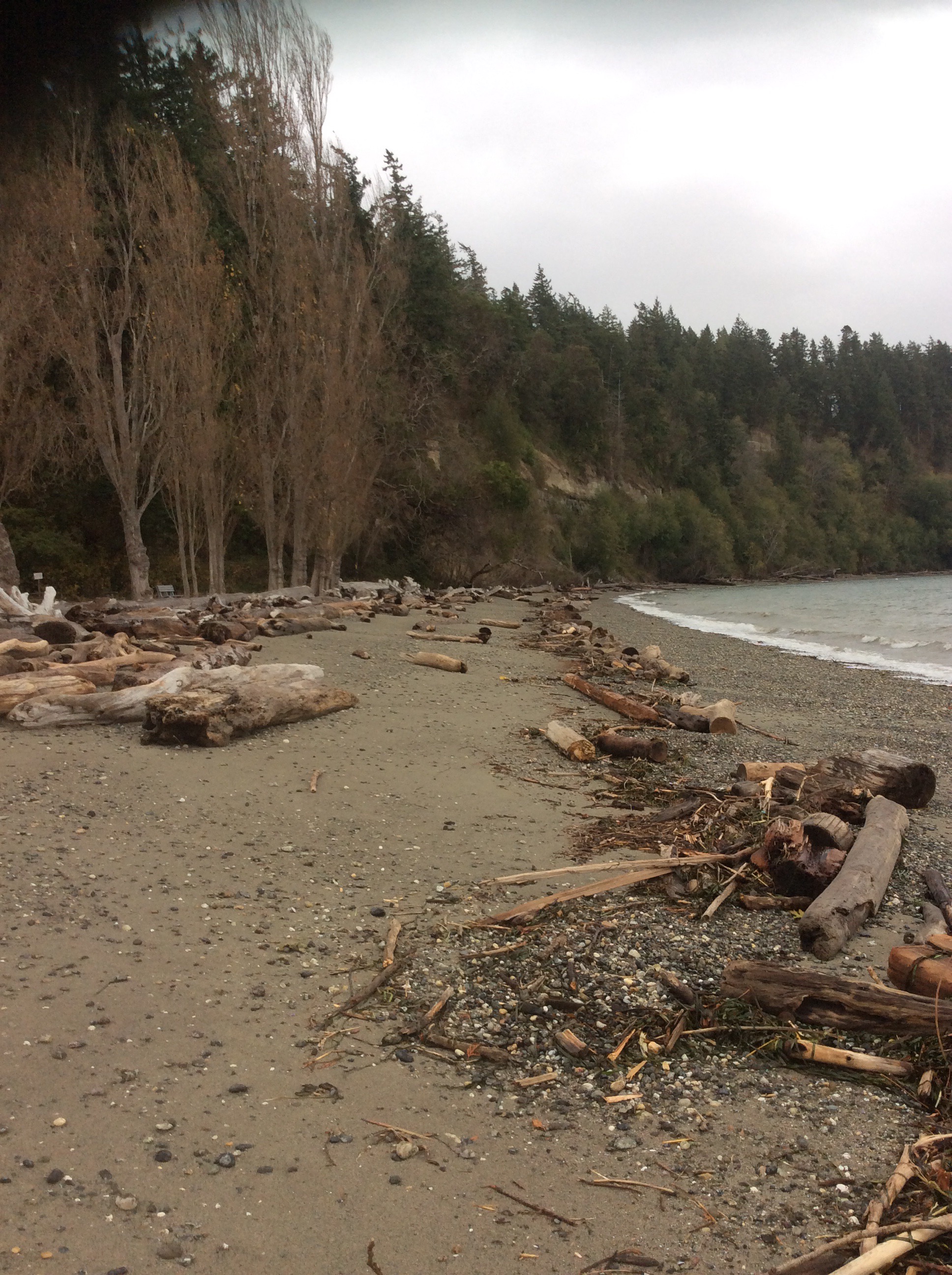
Beach Profile #2
Latitude: 48.134719343
Longitude: -122.367753424
Taken from: East
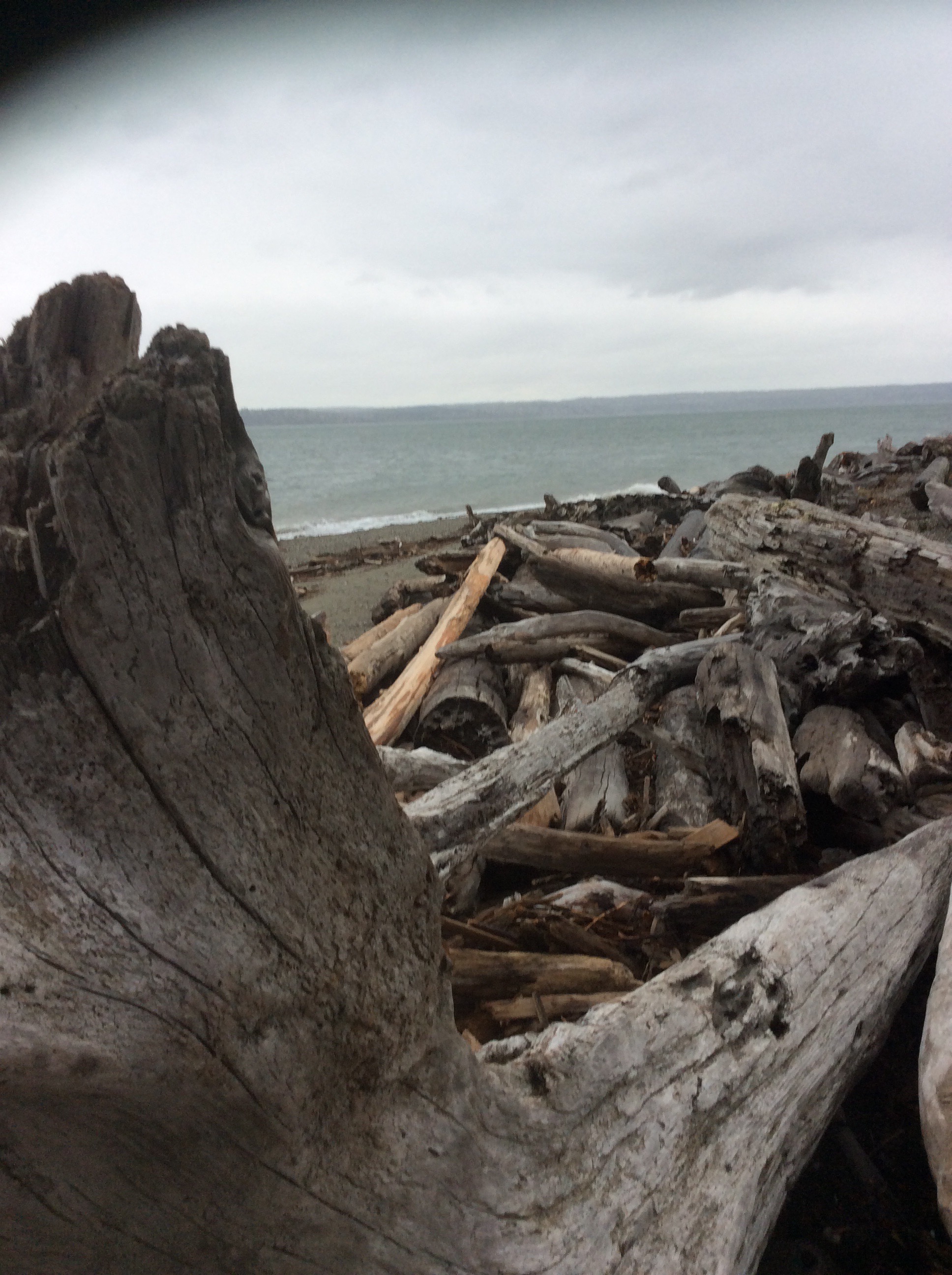
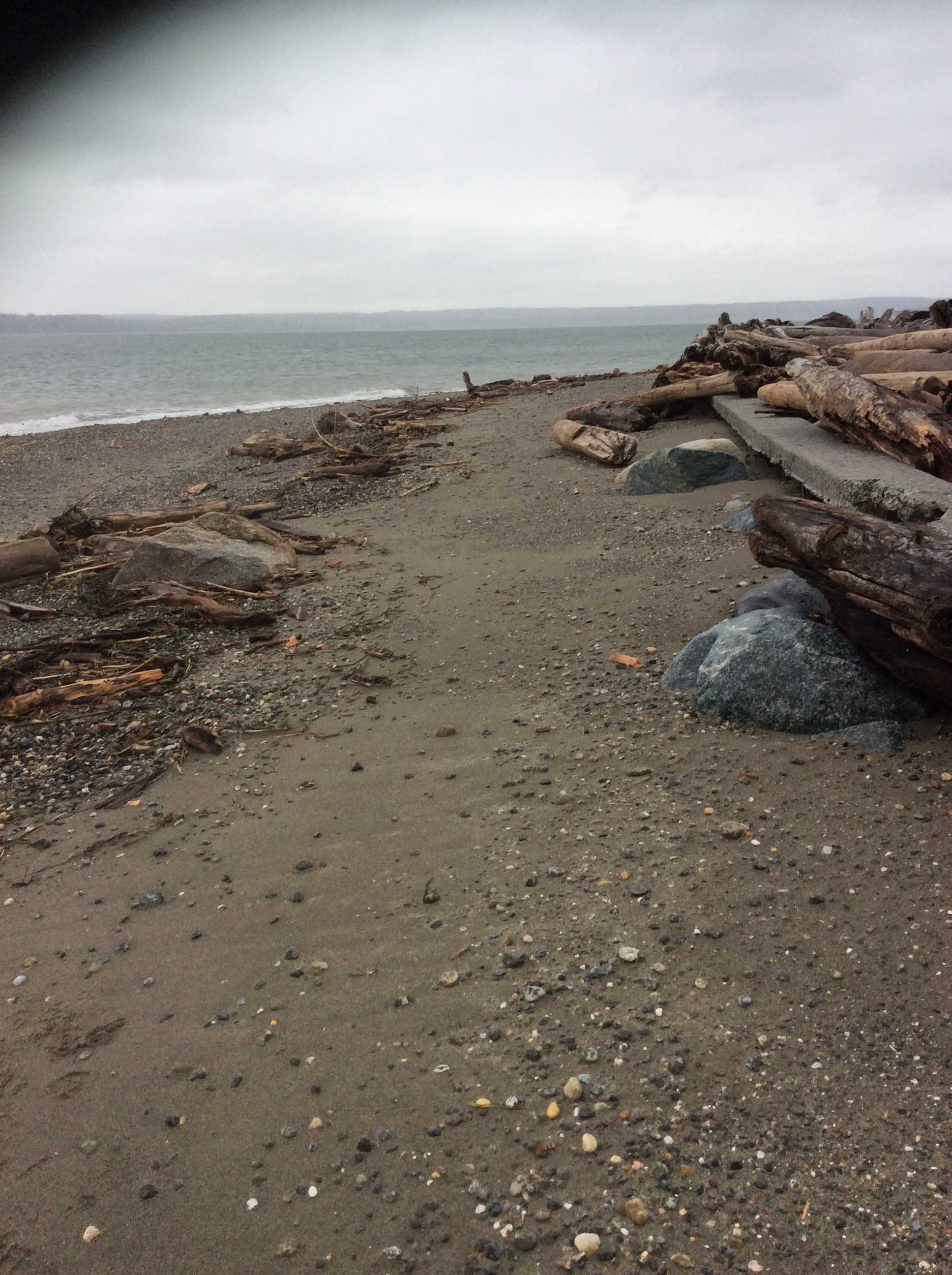
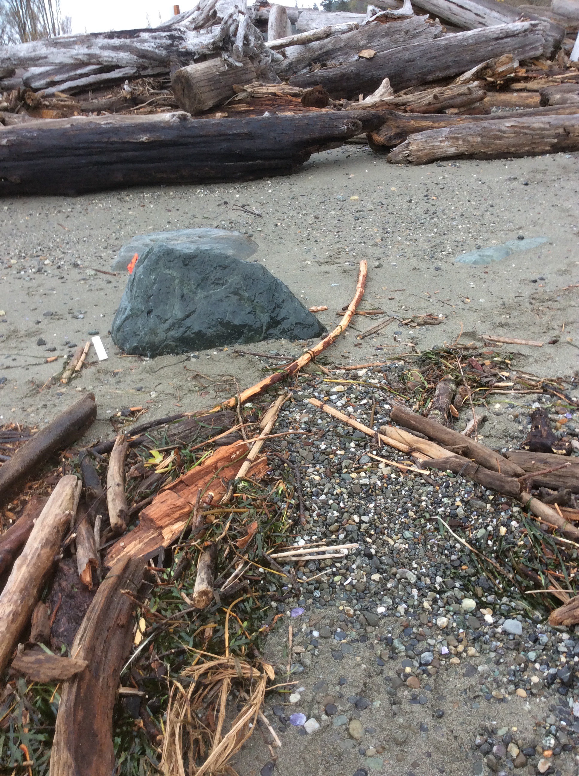
Reference Feature
Latitude: 48.134719343
Longitude: -122.367753424
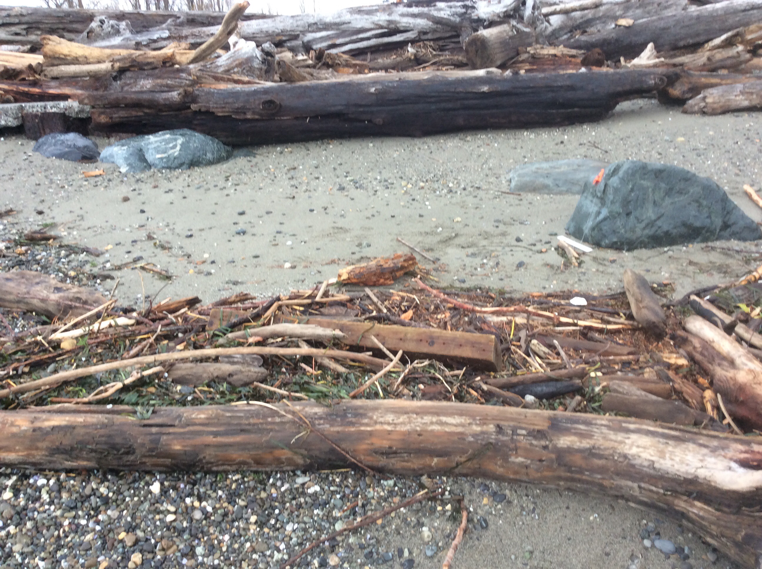
Substrate
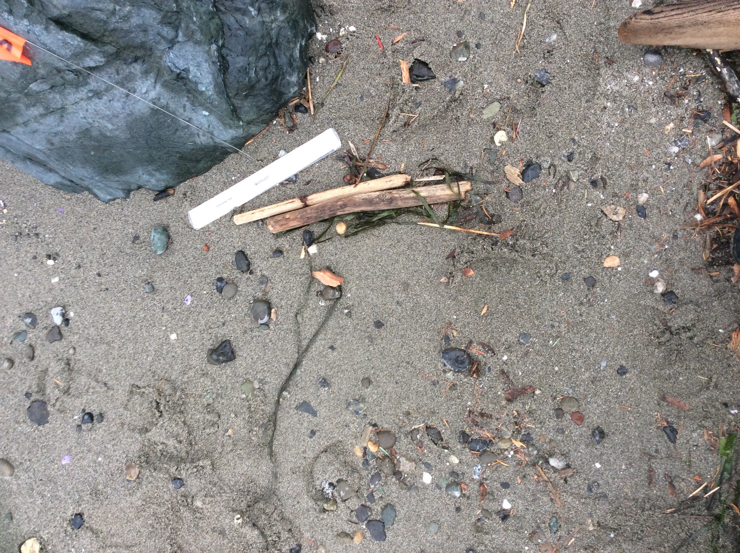
Latitude: 48.134719343
Longitude: -122.367753424
Tidal Overview
![]() 3 hours 8 minutes before high tide
3 hours 8 minutes before high tide
Data from Port Townsend (18.8 miles away)
Water Level (at time of report): 10:22 am, 6.7' MLLW
High Tide (Predicted): 1:25 pm, 8.8' MLLW
High Tide (Observed): 1:30 pm, 9.4' MLLW
Loading NOAA Tide Data…
Weather Overview
Wind Speed: 18.1 MPH
Wind Direction: SE (133°)
Temperature: 50℉
Rainfall (Calendar Day): 0"
Rainfall (Past 24 Hours): 0.26"
User-observed Weather:
- Overcast
Lots of changes, plus it started to rain! Team member John Radzewich joined Sandy Evans in compiling this report.