Roads
Street/Road: Unspecified
Marinas and Harbors
Buildings
Hazardous Materials
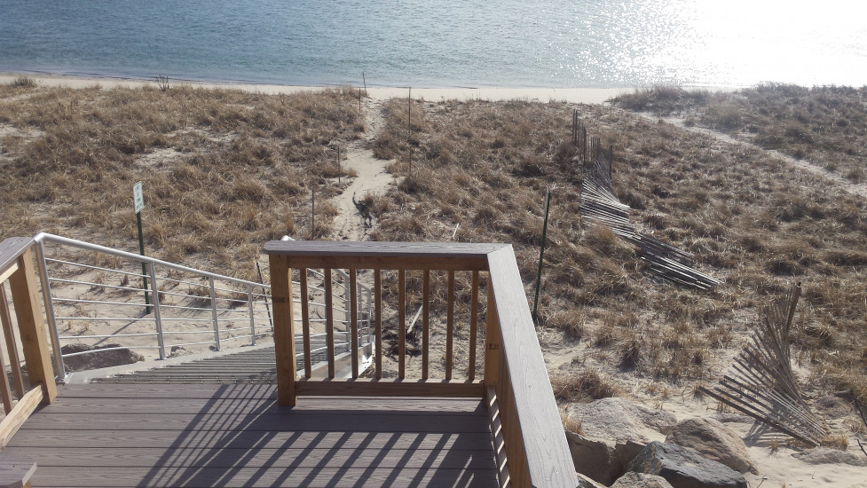
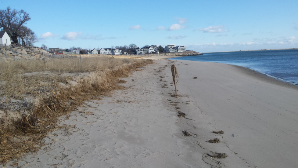
Beach
State: Accessible
Coastal Structures
Natural Resources
Specific Impacts:
- Eroded beach
- Eroded dune
Comments: Beach and dune erosion. Based on location of eroded stake from symbolic fence, there was about 10-12 feet of recession of the beach and low dune.
Current Response
Response:
- None
You must be logged in to post a comment.