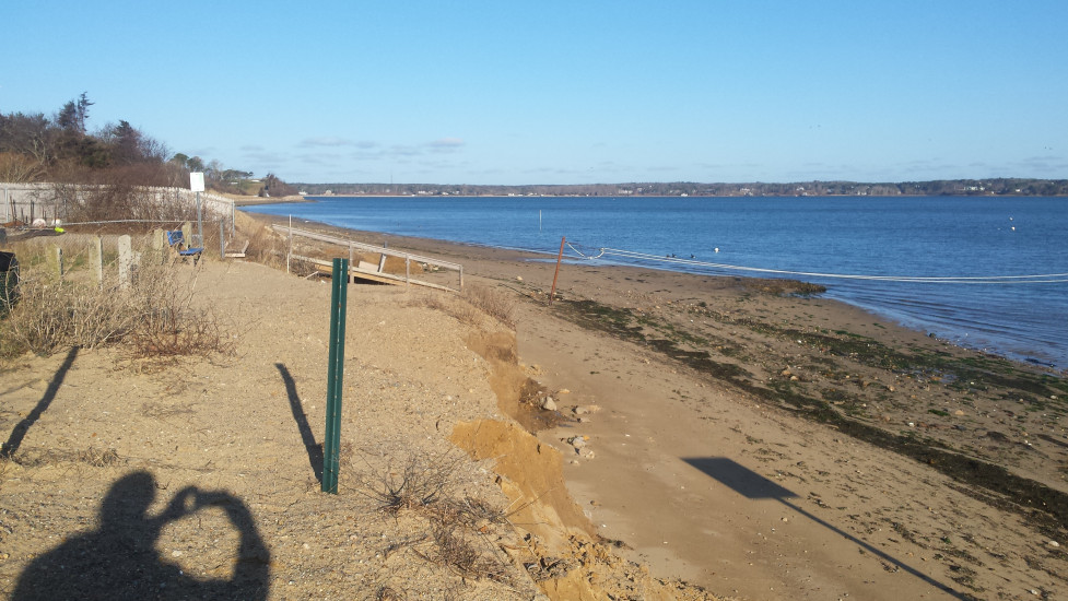
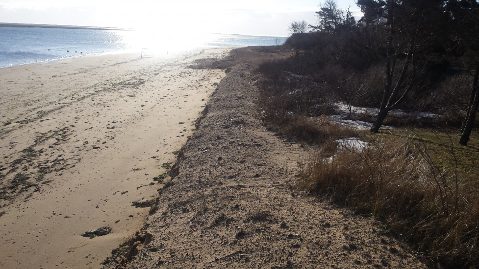
Chatham, MA (Strong Island Landing)
Barnstable County
Storm Report
03/15/2017 | 8:27 am
Impacts Reported
Roads
Street/Road: Unspecified
Marinas and Harbors
Buildings
Hazardous Materials
Beach
State: Accessible
Coastal Structures
Natural Resources
Specific Impacts:
- Eroded beach
- Eroded dune
- Wrack on wetlands
Comments: Generally minor erosion of bank and dunes associated with storm surge. Wind direction during high tide from east was less impactful than if it had shifted to N - NW
Current Response
Response:
- Other
Specific response: Minor nourishment to be followed up at landing
You must be logged in to post a comment.