Report type: Post-storm
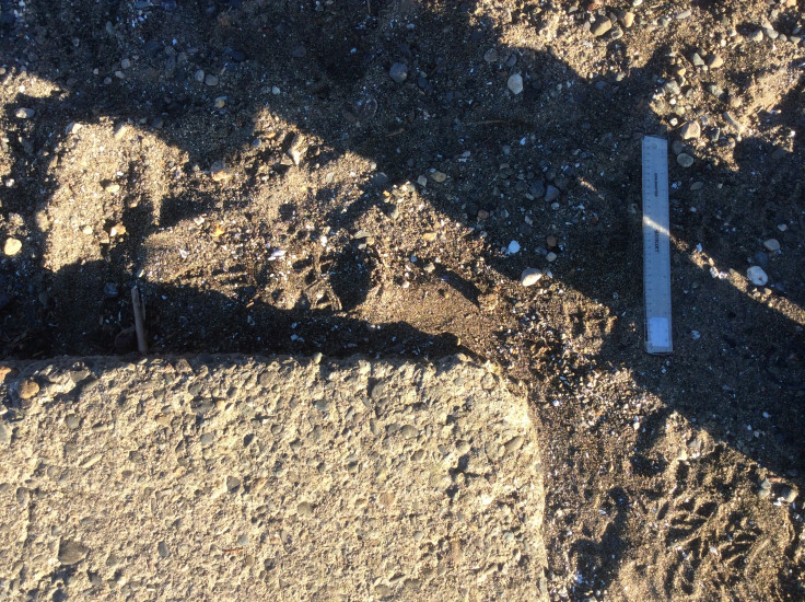
Debris seen:
- Medium gravel
- Fine gravel
- Medium sand
- Fine sand
Other debris: Wood bark, sticks
Measurement represents:
- Debris Line: deposition of sediment, cobbles, wood debris, trash, etc.
Wave height: 1ft
Stake number: 1
Stake Photo
Latitude: 48.137347222222225
Longitude: -122.36694999999999
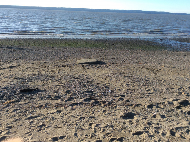
From Vantage Point
Beach Profile #1
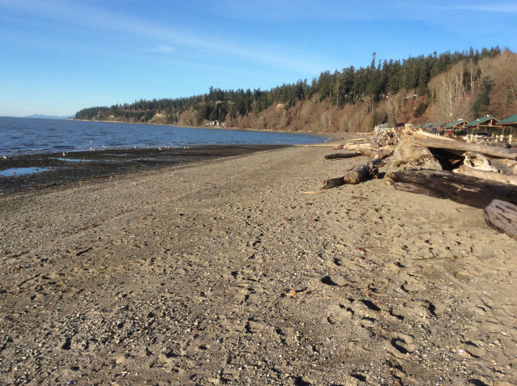
Taken from: North
Beach Profile #2
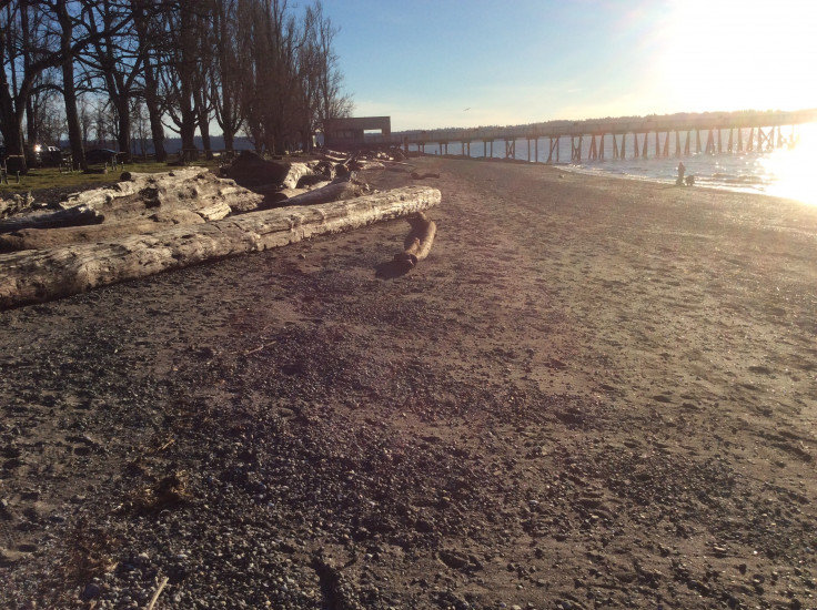
Taken from: South
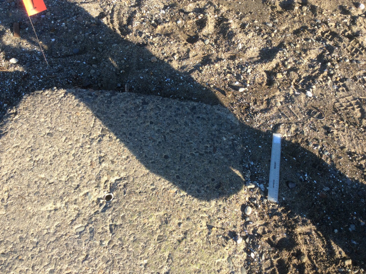
Reference Feature
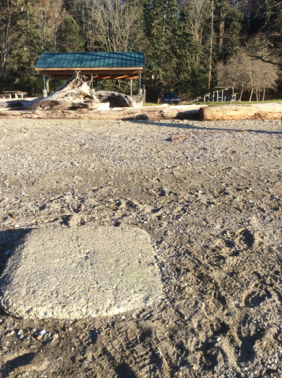
Substrate

Tide Gauge
You must be logged in to post a comment.
"Sun is low.mn"