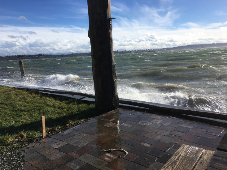
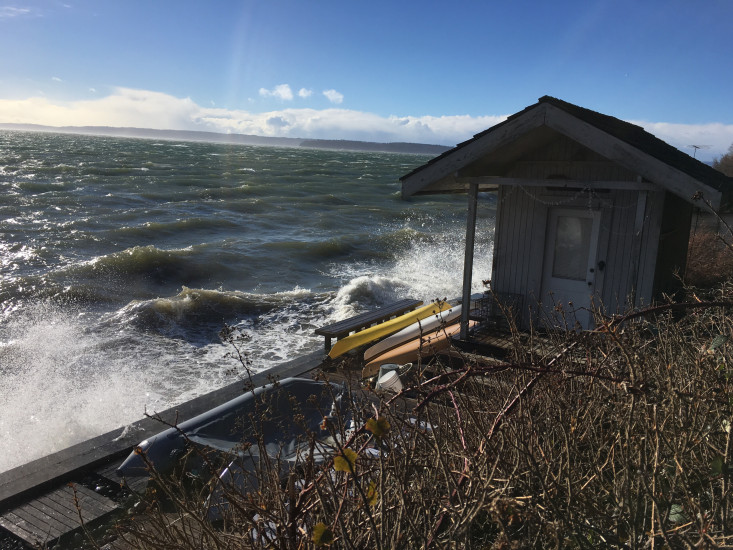
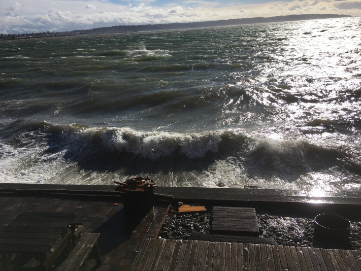
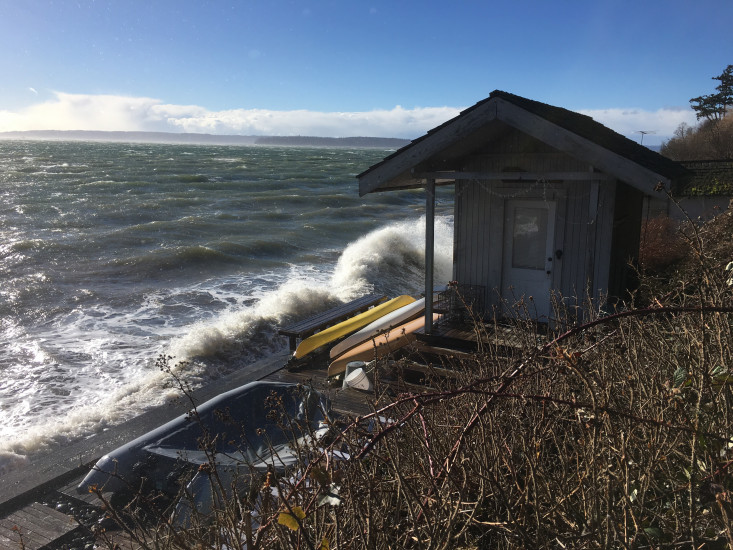
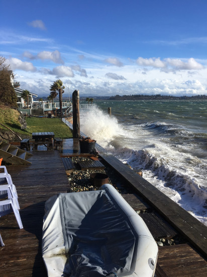
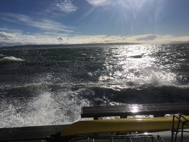
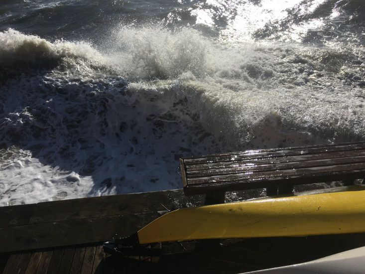
Report type: Pre-storm
Measurement represents:
- inundation
Wave height: 2.5ft
Stake number: 1
Stake Photo
Latitude: 48.0303959549
Longitude: -122.233796697
From Vantage Point

Latitude: 48.030408402
Longitude: -122.233789405
Beach Profile #1

Latitude: 48.0303535006
Longitude: -122.233971376
Taken from: West
Beach Profile #2
Latitude: 48.030382921
Longitude: -122.233950757
Taken from: South
Reference Feature
Latitude: 48.0303191767
Longitude: -122.233835673
Substrate
Latitude: 48.0303620082
Longitude: -122.233903818
You must be logged in to post a comment.
"Storm with high tide. Couldn't get down on beach for debris/substrate photos. Highest waves I've seen since early fall."