Snohomish County
Stanwood, WA
Storm Surge Report
Report type: Pre-storm
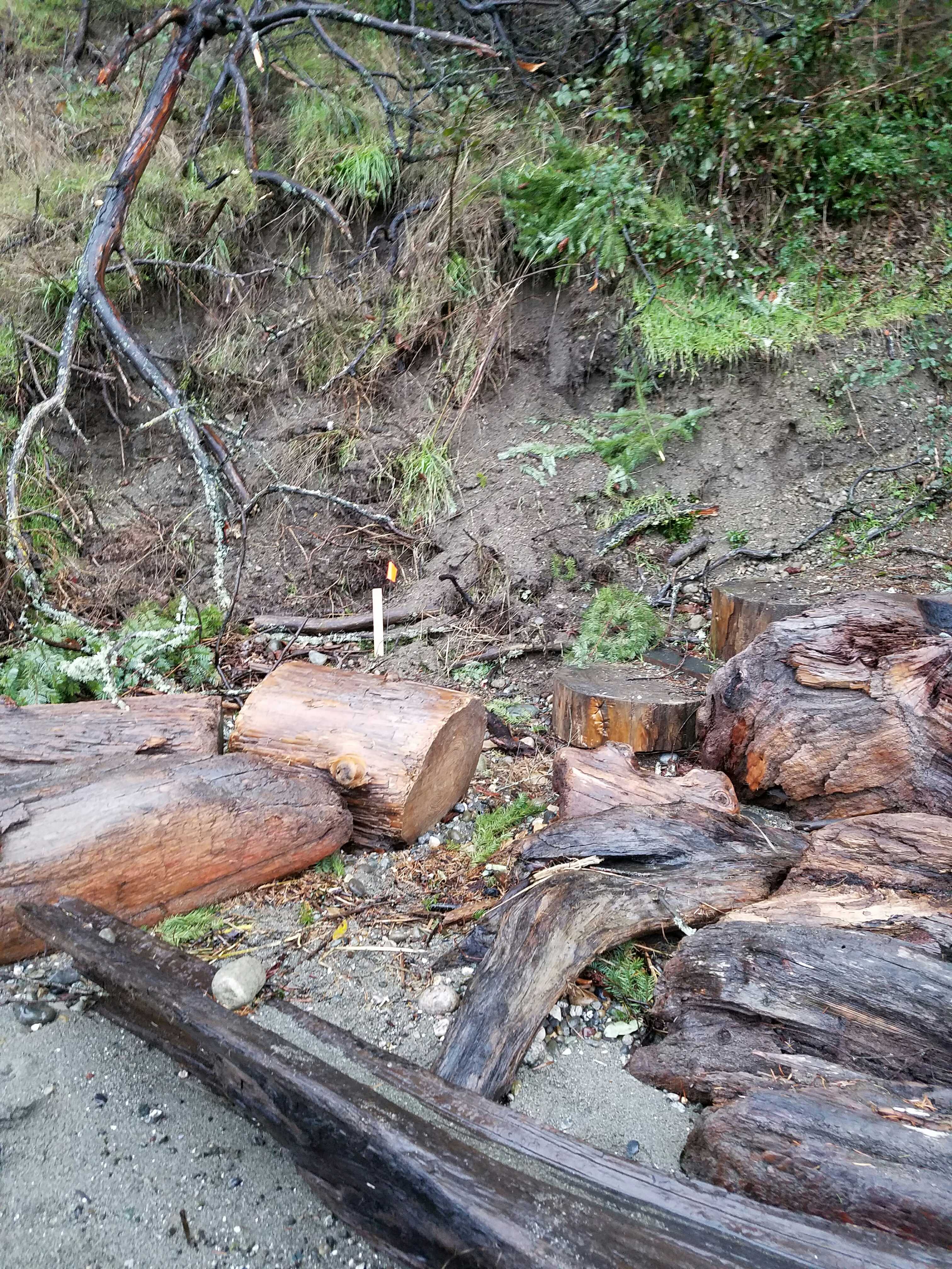
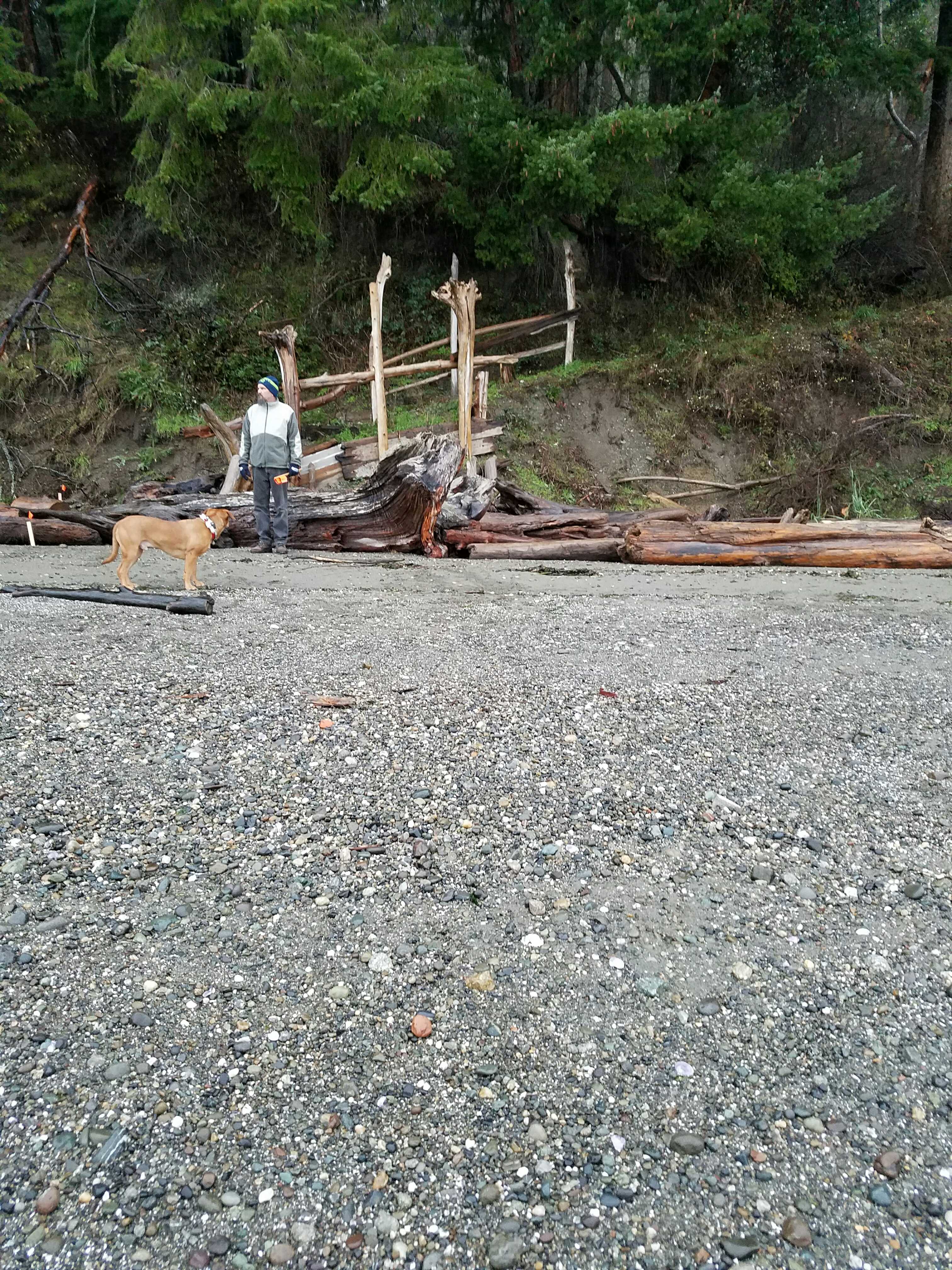
Debris seen:
- Medium gravel
Measurement represents:
- runup
- inundation
- debris line
Wave height: 0.5ft
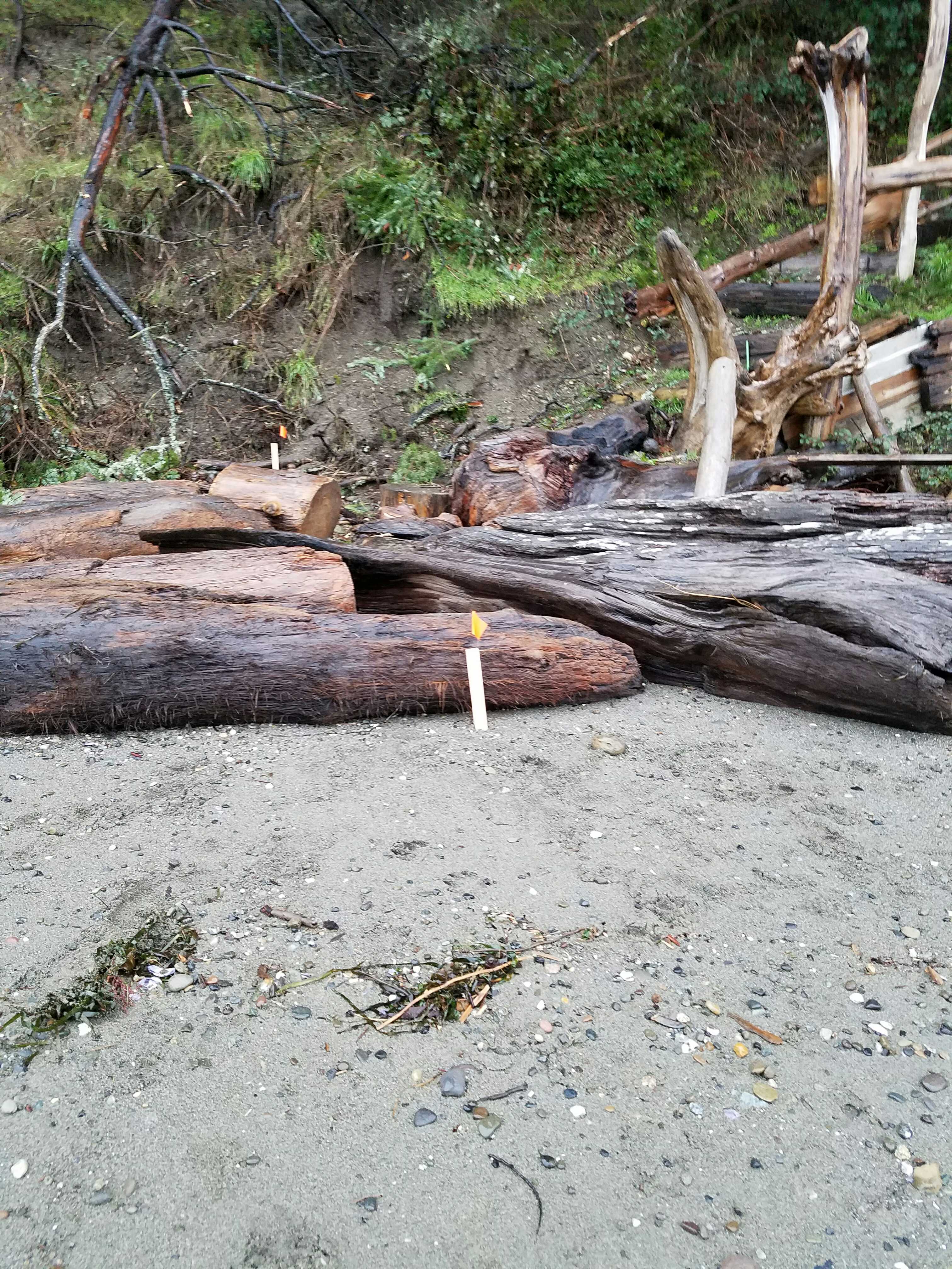
Stake number: 1
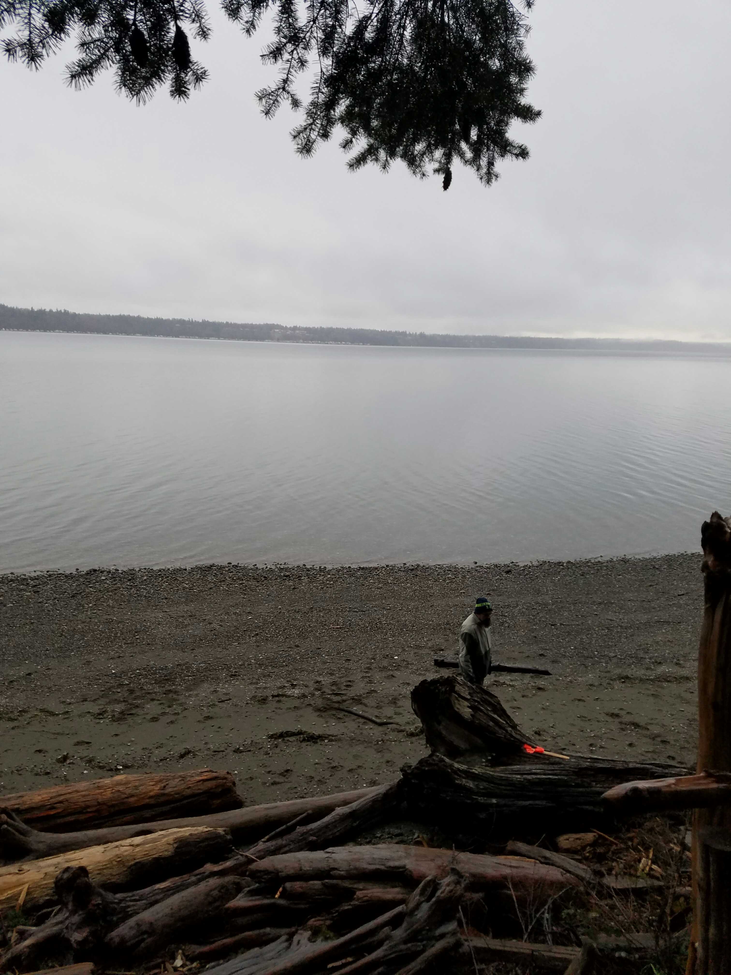
Stake Photo
Latitude: 48.10739799
Longitude: -122.34761402
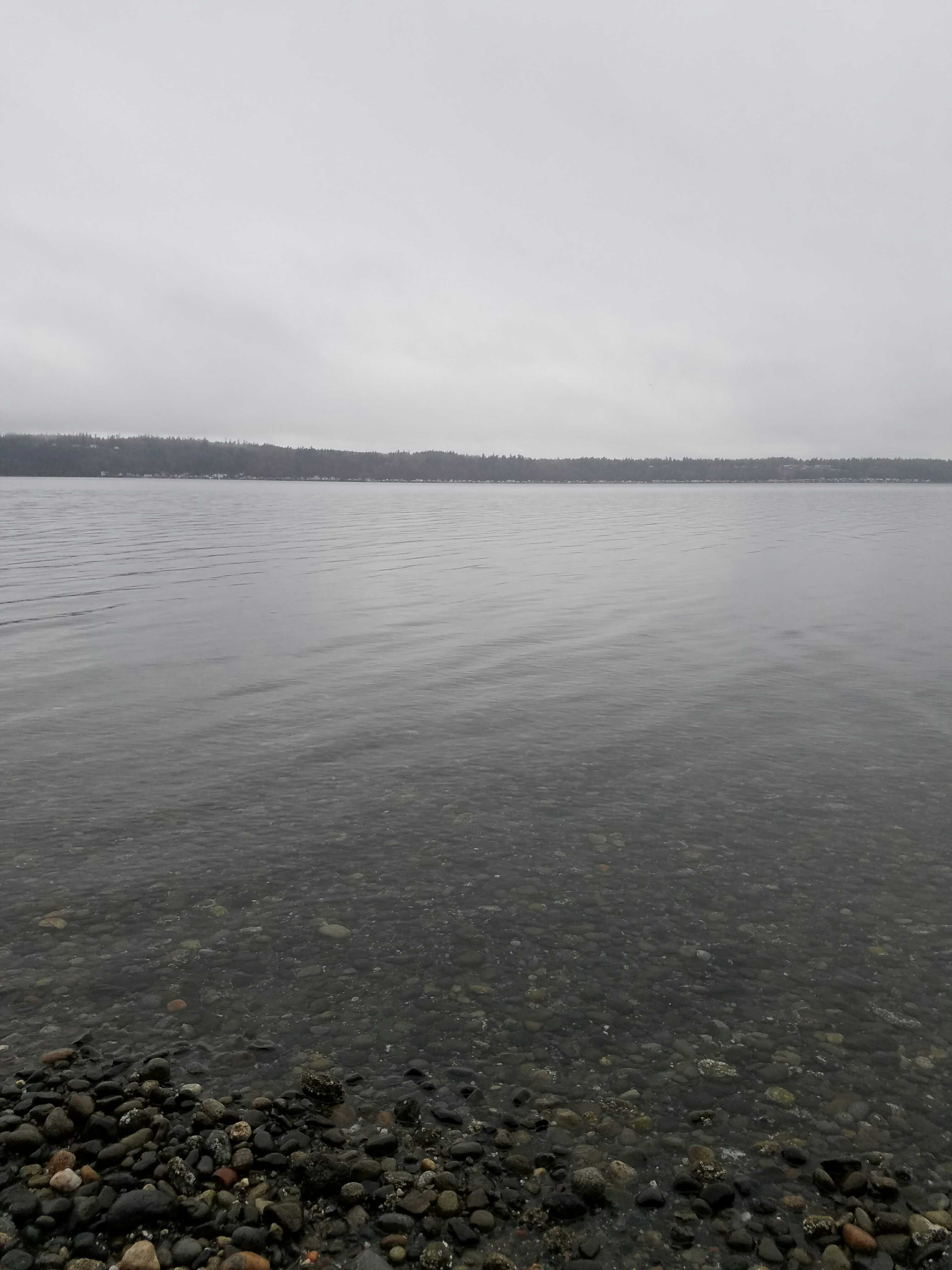
From Vantage Point
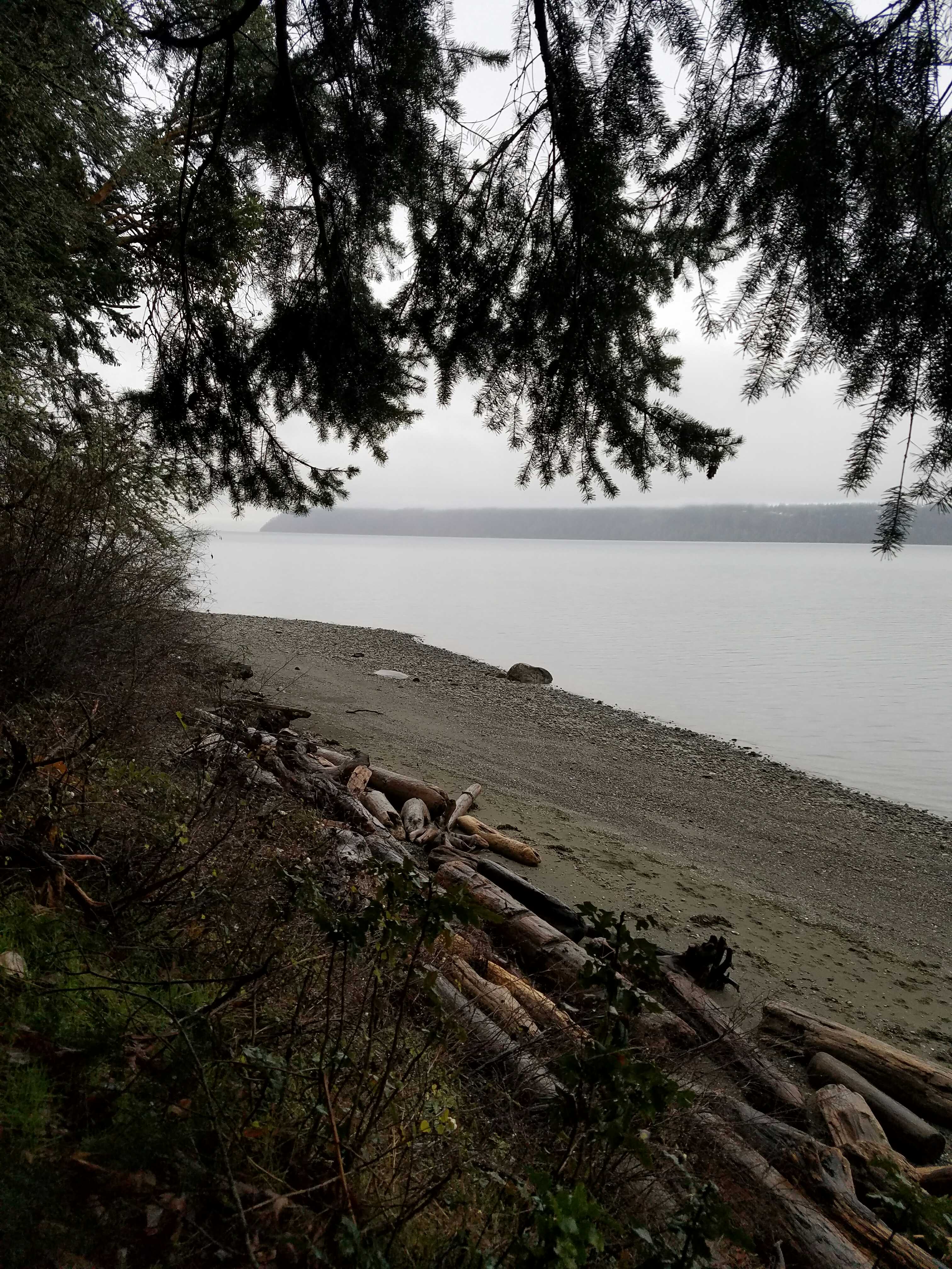
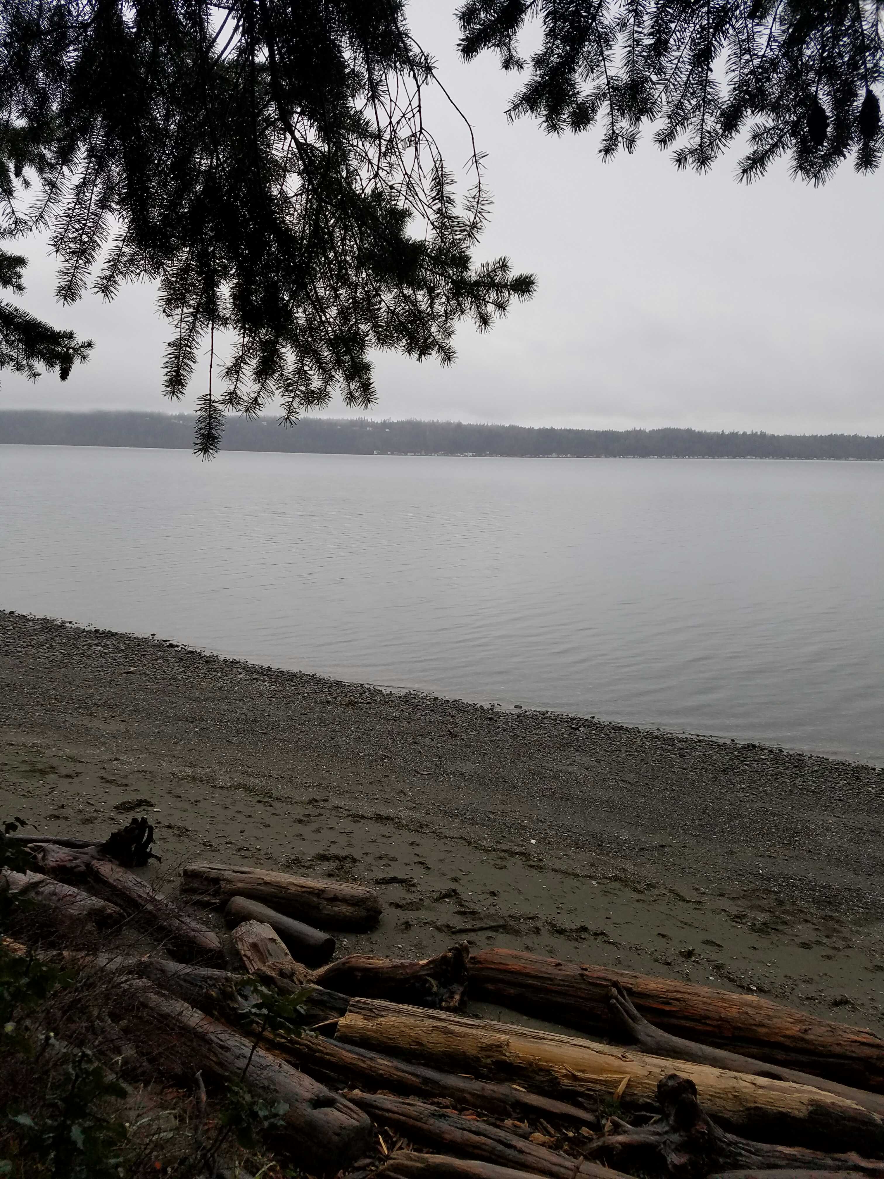
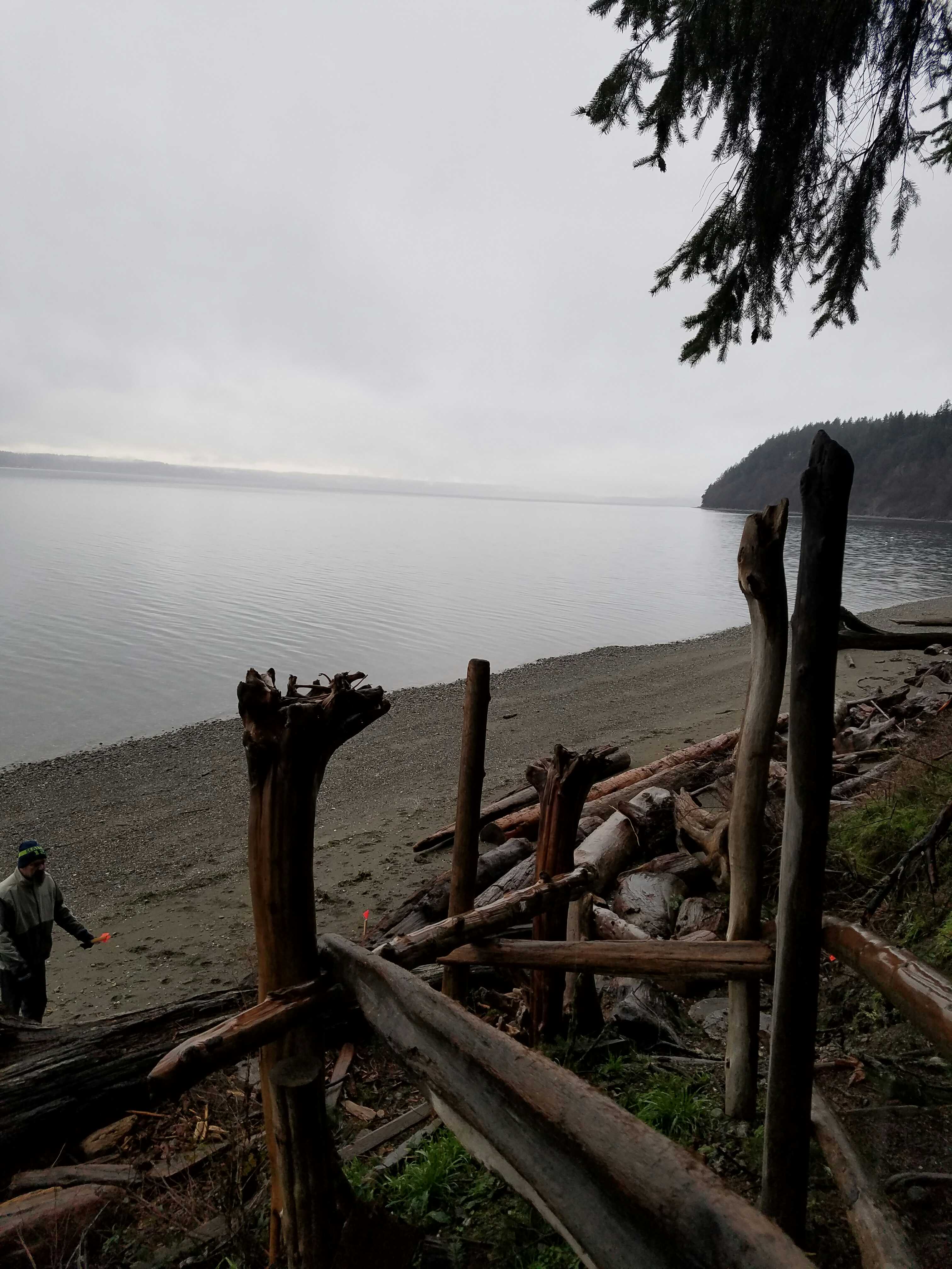
Latitude: 48.10736138
Longitude: -122.34739956
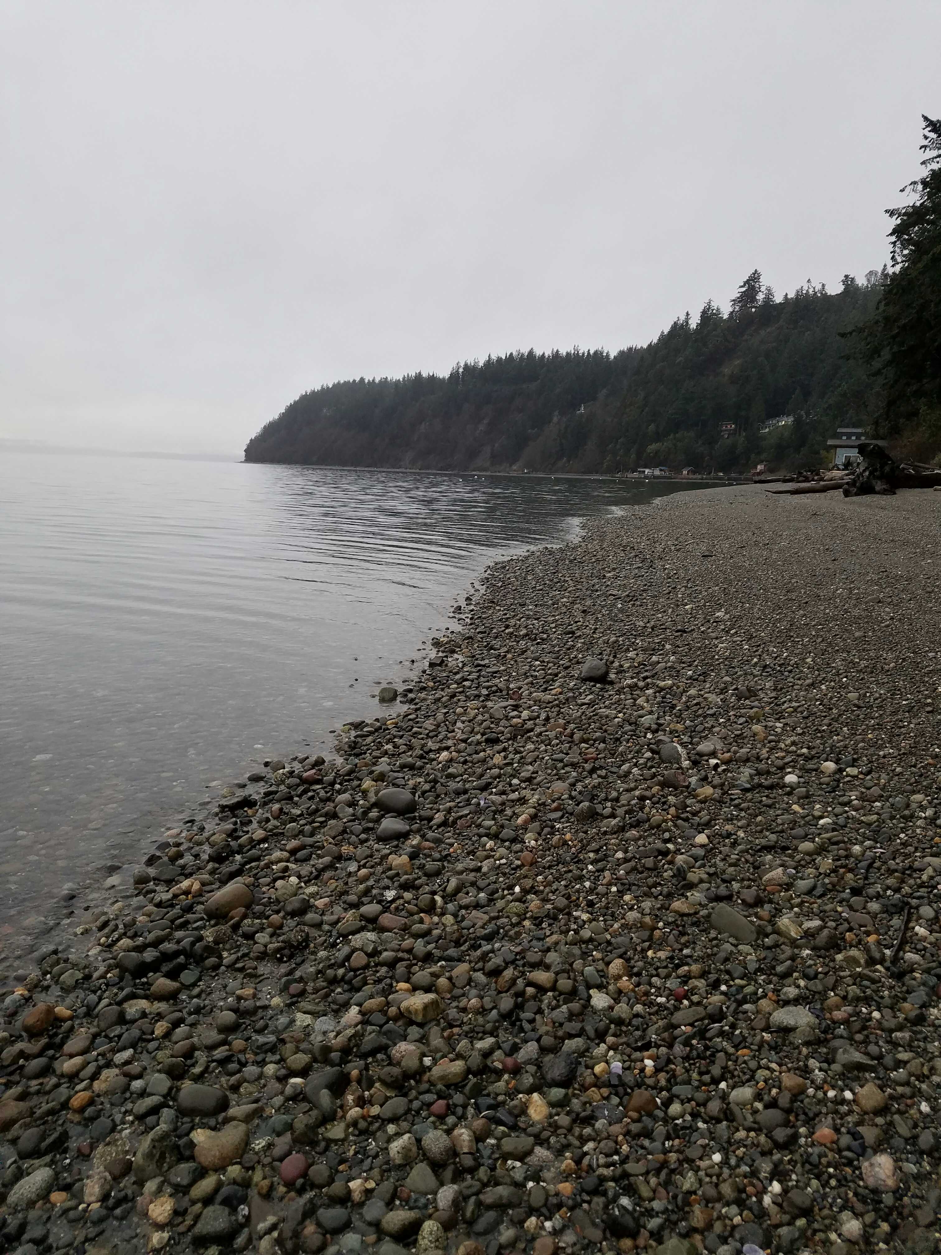
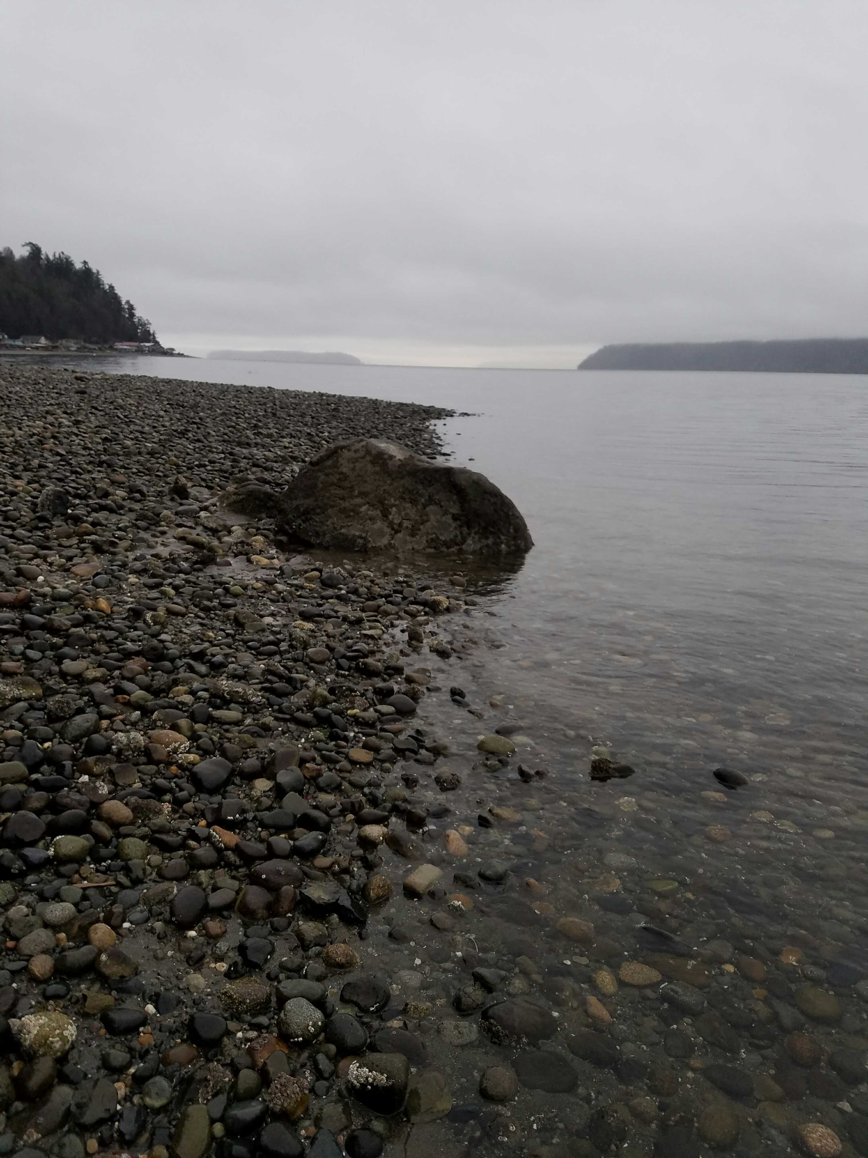
Beach Profile #1
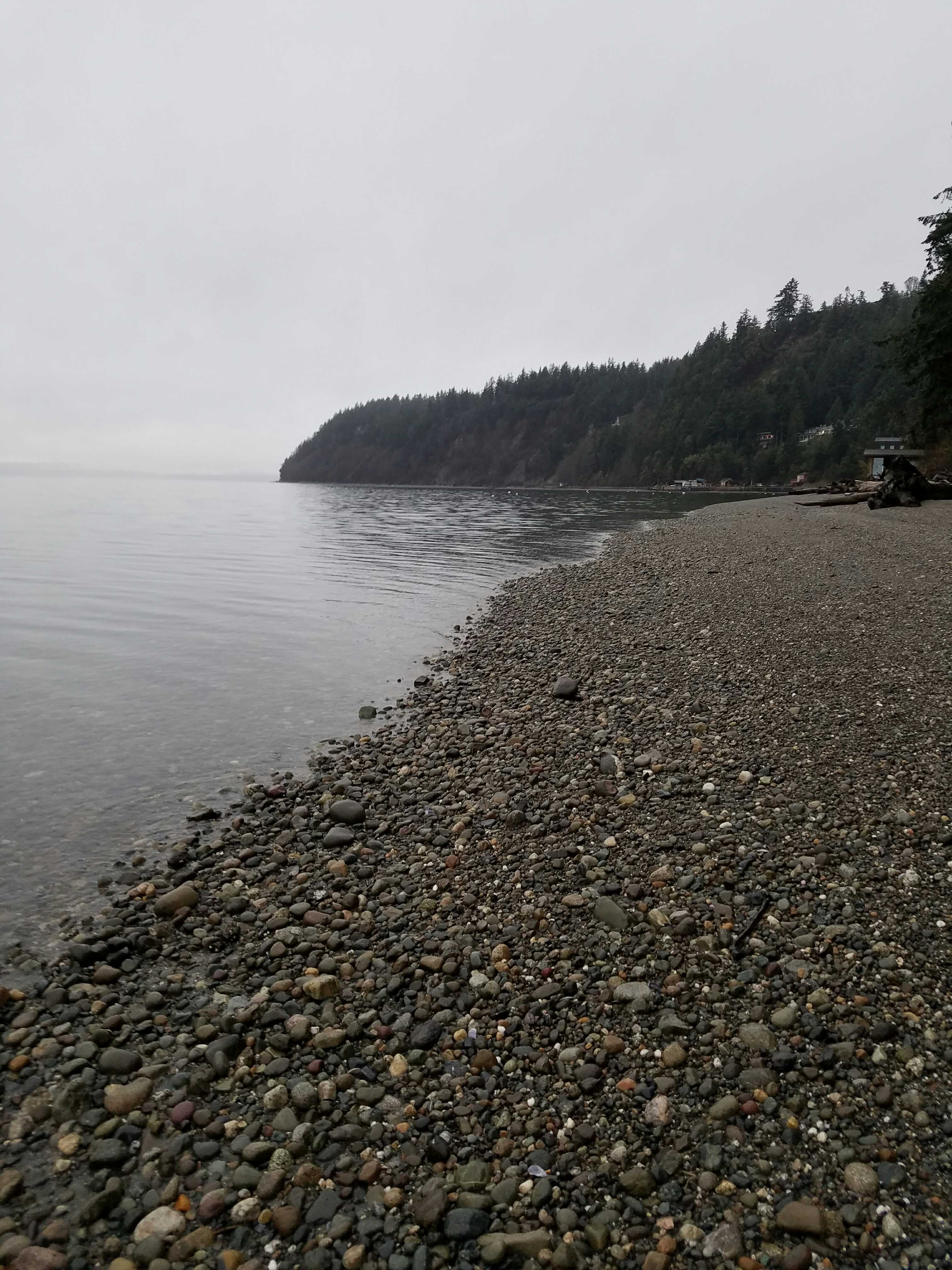
Latitude: 48.10727677
Longitude: -122.34763172
Taken from: West
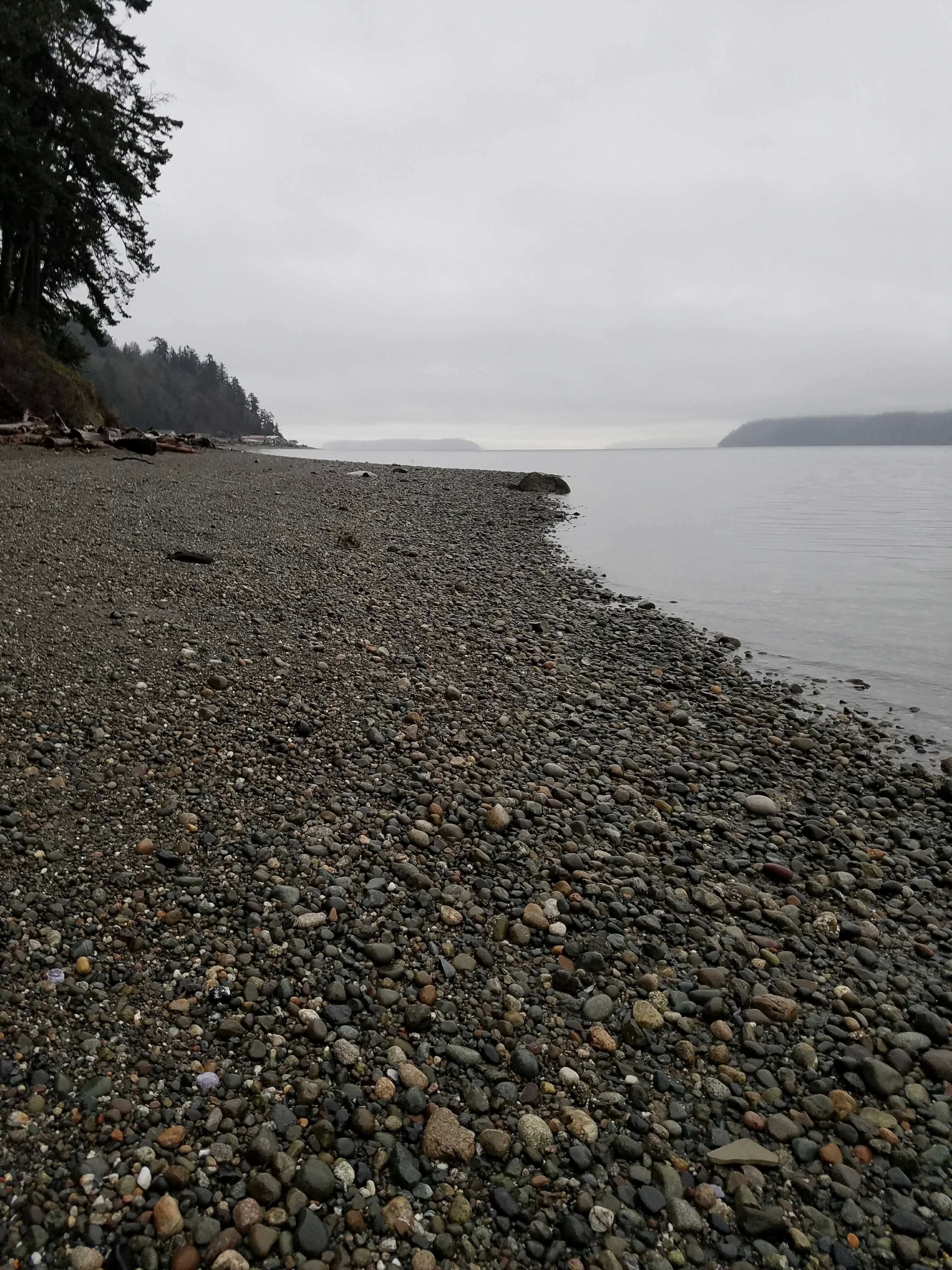
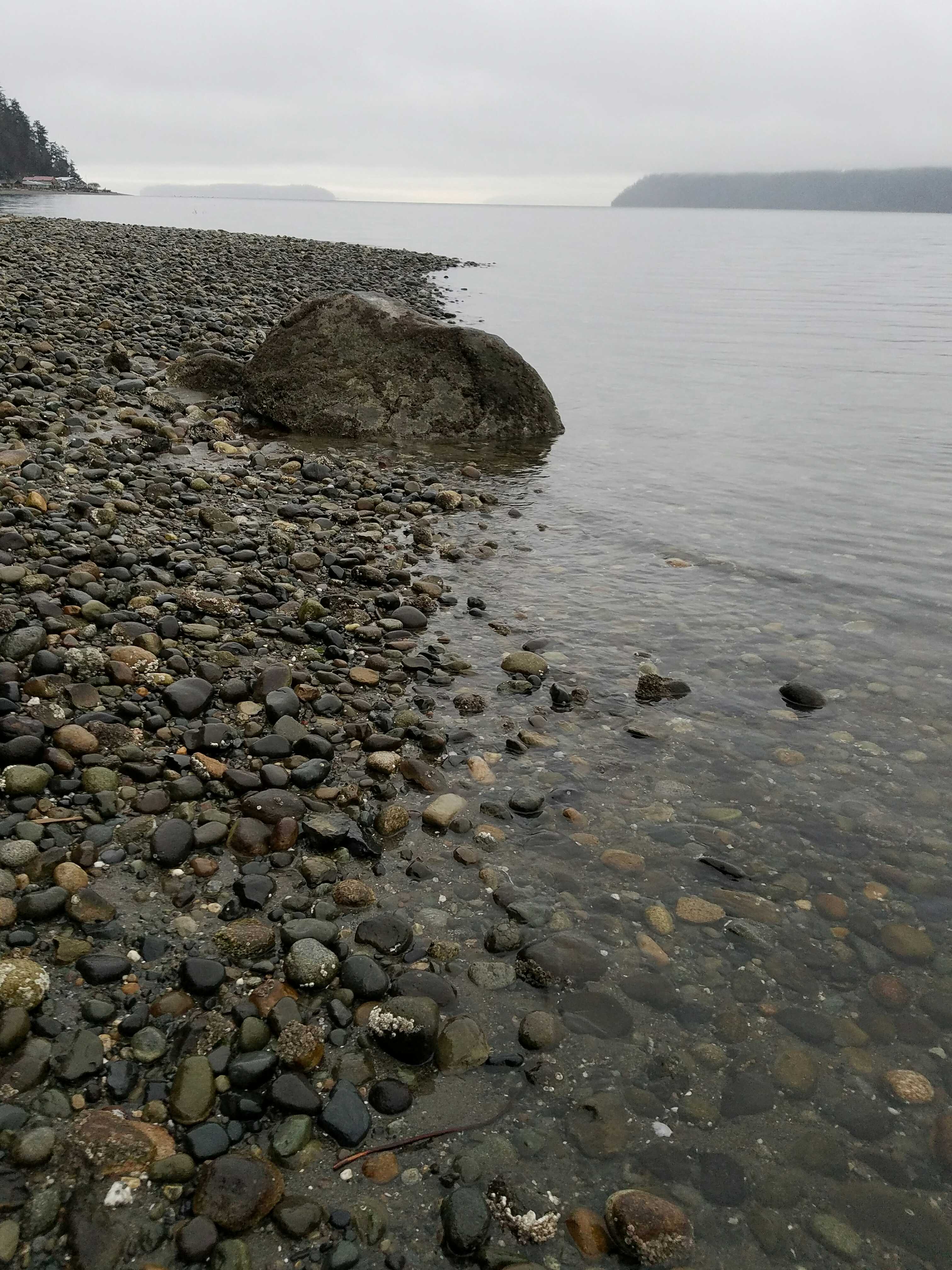
Beach Profile #2
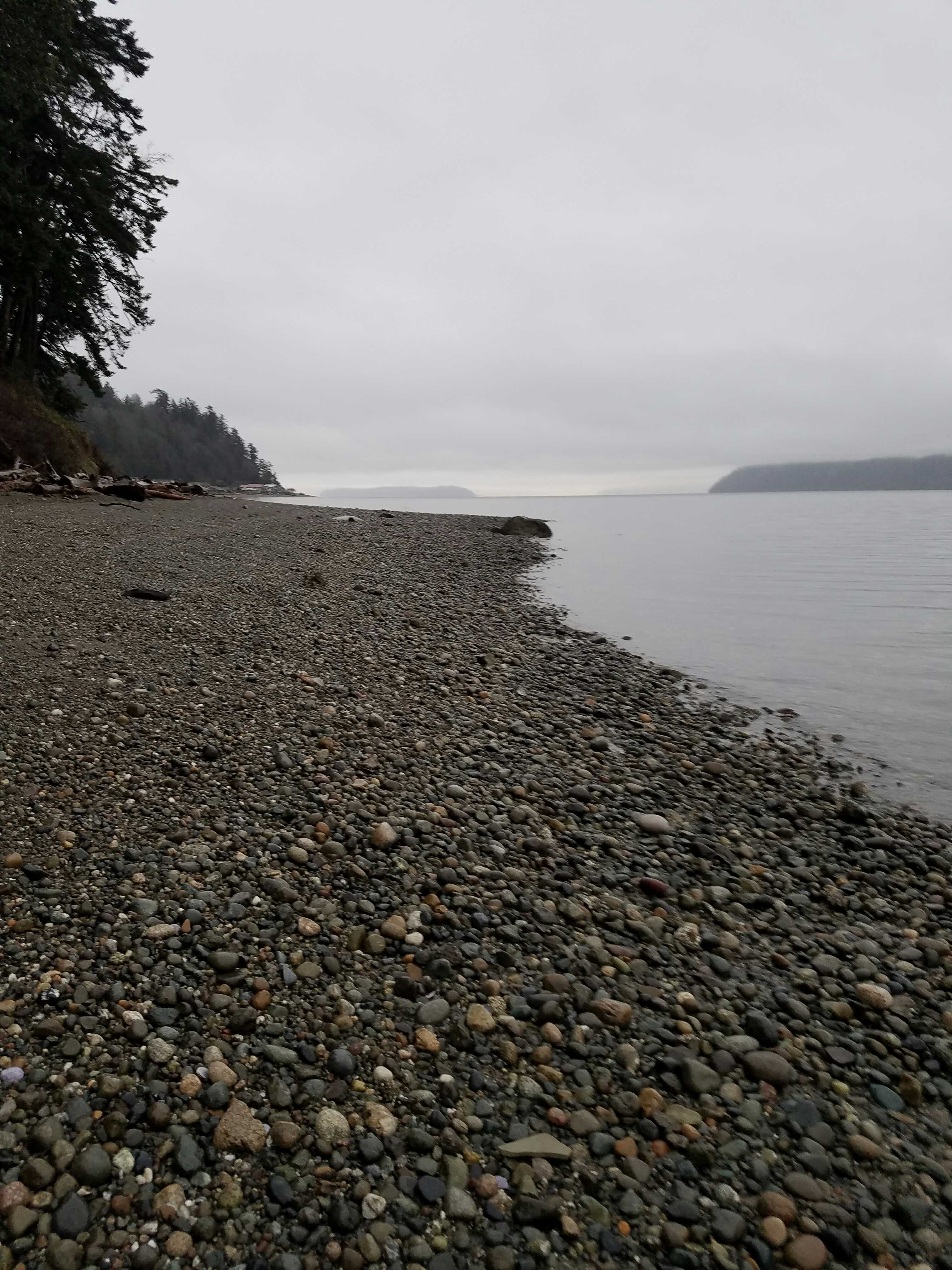
Latitude: 48.10732855
Longitude: -122.34766279
Taken from: South
Reference Feature
Latitude: 48.10705221
Longitude: -122.34763805
Substrate
Latitude: 48.10705462
Longitude: -122.34765175
Tidal Overview
![]() 4 hours 8 minutes after high tide
4 hours 8 minutes after high tide
Data from Port Townsend (20 miles away)
Water Level (at time of report): 3:50 pm, 4.7' MLLW
High Tide (Predicted): 11:34 am, 8.6' MLLW
High Tide (Observed): 11:42 am, 9.1' MLLW
■ Observed
■ Predicted water level
⬤ Report time
Weather Overview
Wind Speed: 4.2 MPH
Wind Direction: W (281°)
Temperature: 34℉
Rainfall (Calendar Day): 0.009"
Rainfall (Past 24 Hours): 0.41"
User-observed Weather:
- Overcast
"Loop tide was too high to get photos, was just taking stake photos for a high water mark"