Snohomish County
Stanwood, WA
Storm Surge Report
User Submitted Data
Report type: Post-storm
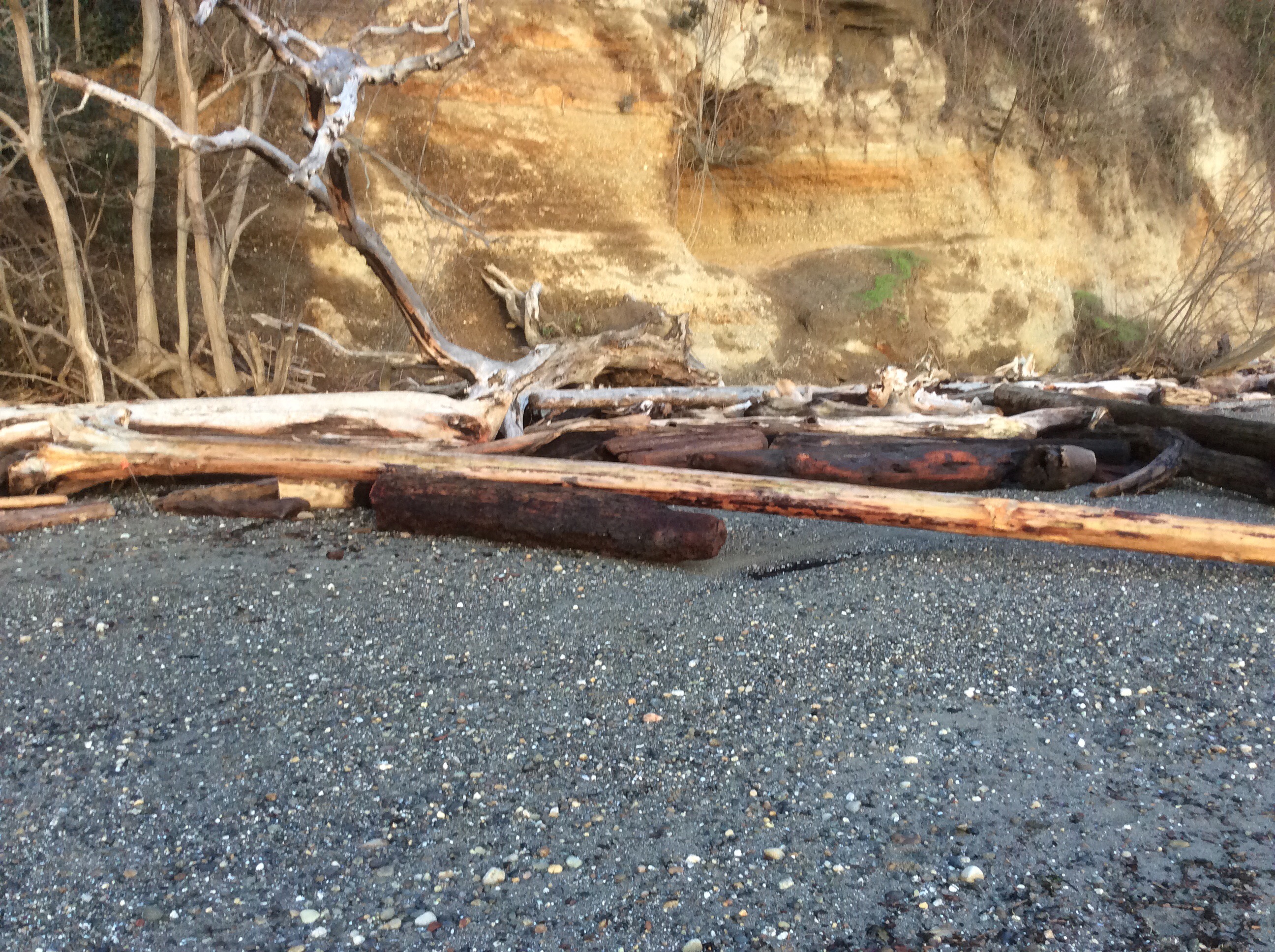
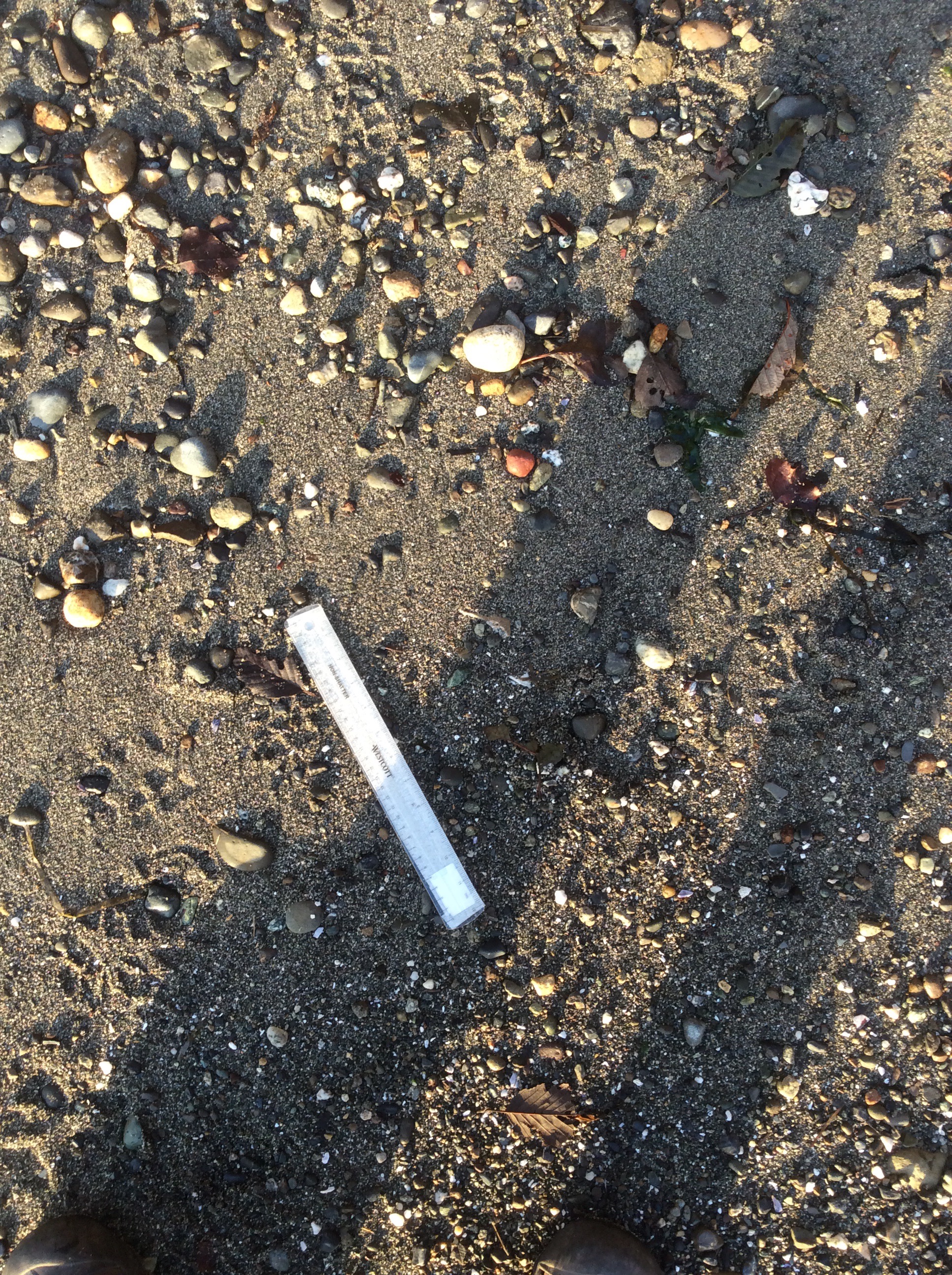
Debris seen:
- Coarse gravel
- Medium gravel
- Medium sand
Other debris: Wood, leaves.
Measurement represents:
- debris line
Wave height: 0ft
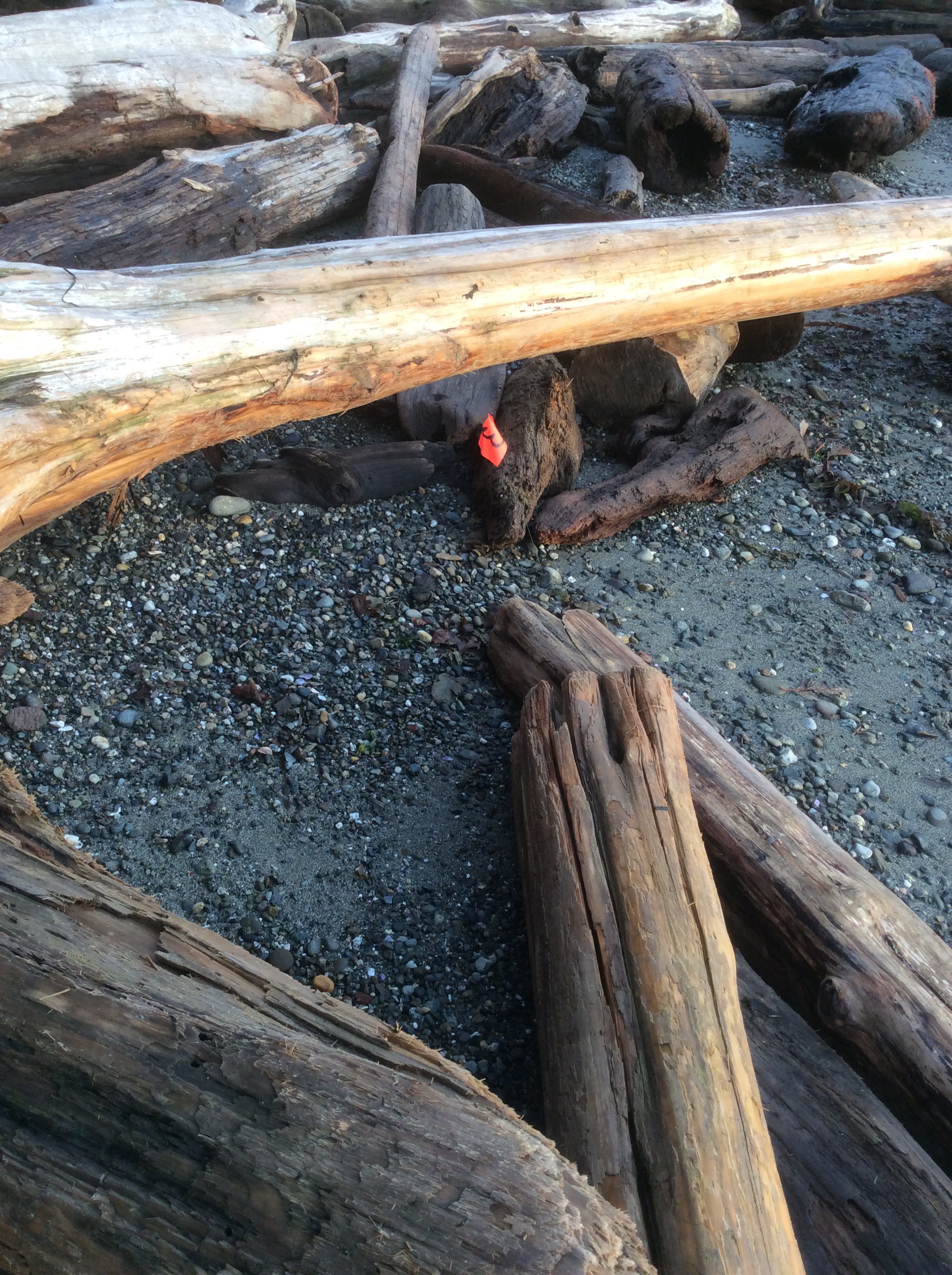
Stake number: 3
Stake Photo
Latitude: 48.13441944444445
Longitude: -122.36653888888888
From Vantage Point
Latitude: 48.13441111111111
Longitude: -122.36651666666666
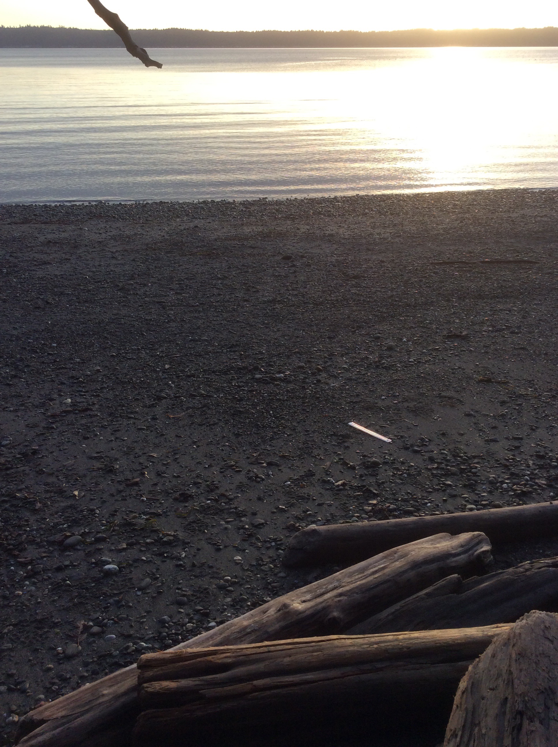
Beach Profile #1
Latitude: 48.134369444444445
Longitude: -122.36654722222222
Taken from: West
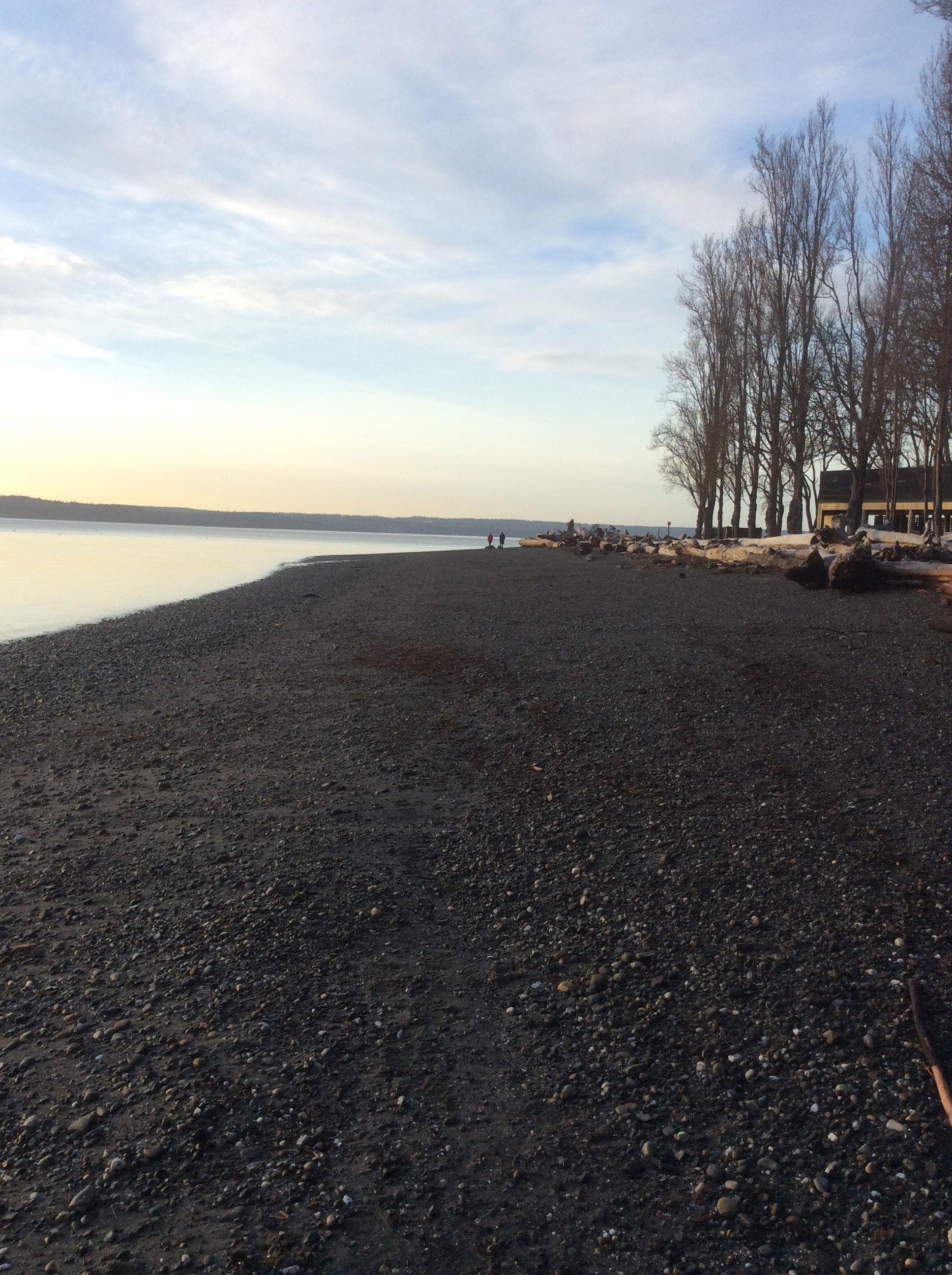
Beach Profile #2
Latitude: 48.134369444444445
Longitude: -122.36654722222222
Taken from: East
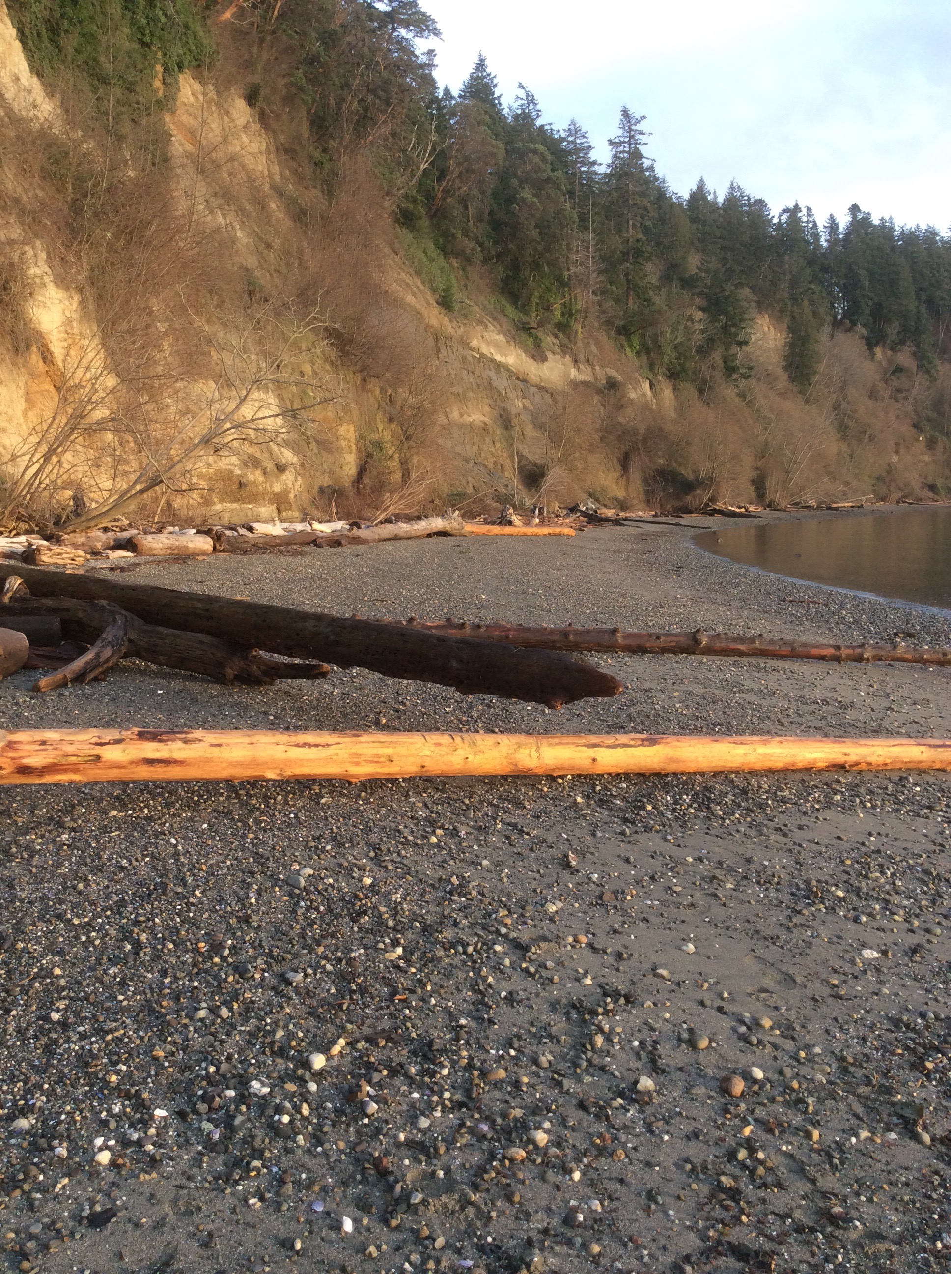
Reference Feature
Latitude: 48.13436388888889
Longitude: -122.3665861111111
Substrate
Latitude: 48.134388888888886
Longitude: -122.36655555555555
Tidal Overview
![]() 5 hours 29 minutes after high tide
5 hours 29 minutes after high tide
Data from Port Townsend (18.8 miles away)
Water Level (at time of report): 3:53 pm, 3.6' MLLW
High Tide (Predicted): 10:26 am, 9' MLLW
High Tide (Observed): 10:24 am, 8.9' MLLW
Loading NOAA Tide Data…
Weather Overview
Wind Speed: 0.7 MPH
Wind Direction: NNE (24°)
Temperature: 40℉
Rainfall (Calendar Day): 0"
Rainfall (Past 24 Hours): 0"
User-observed Weather:
- Moderately cloudy
It was getting late and while finishing the third location I lost the report. I chatted with Chris after getting home and amazingly he found what had been photographed but not submitted. This is the report, although not complete, for stake 3. I didn't get the reference feature photographed although the location is close.