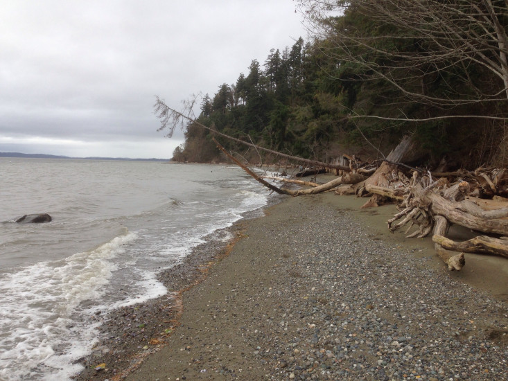
Report type: Pre-storm
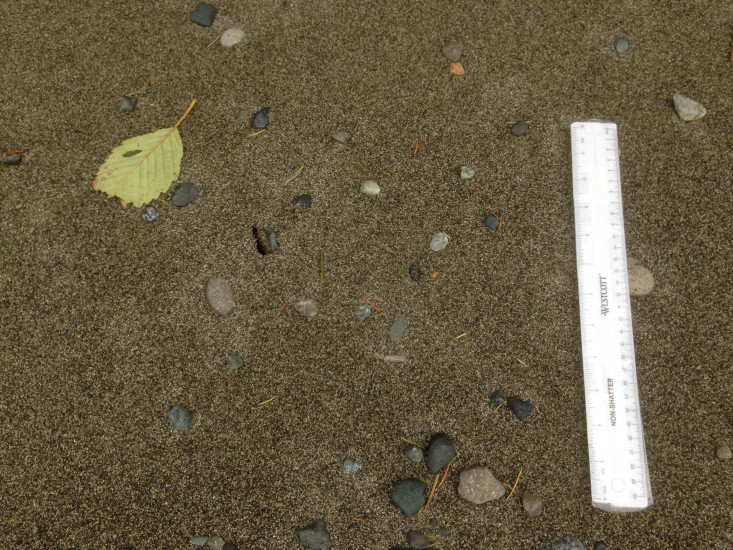
Debris seen:
- Cobbles
- Coarse gravel
- Medium sand
- Fine sand
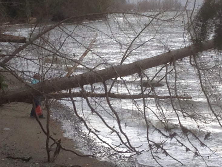
Other debris: XLogs
Measurement represents:
- Erosion: often in the form of scarps, slumps, vegetation line retreat, bluffs slides, etc.
Wave height: 0ft
Stake number: 00
Stake Photo
Latitude: 48.1510704244
Longitude: -122.364253225
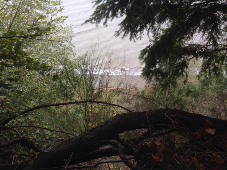
From Vantage Point
Latitude: 48.1510464102
Longitude: -122.364323549
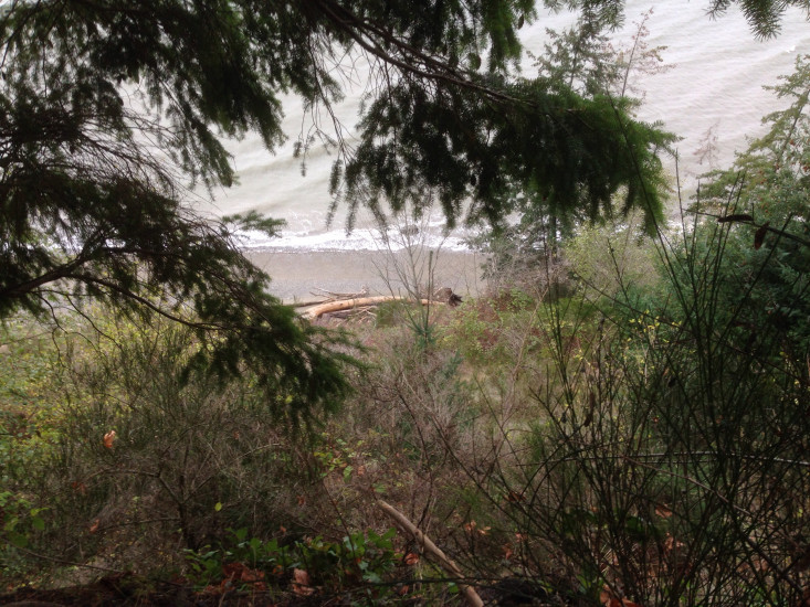
Beach Profile #1
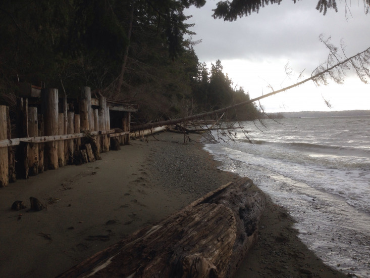
Latitude: 48.1504483615
Longitude: -122.364251297
Taken from: South
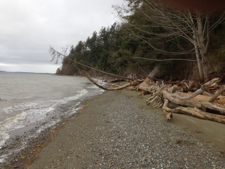
Beach Profile #2
Latitude: 48.1508046762
Longitude: -122.364322459
Taken from: North
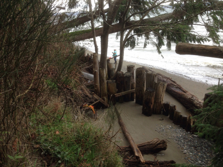
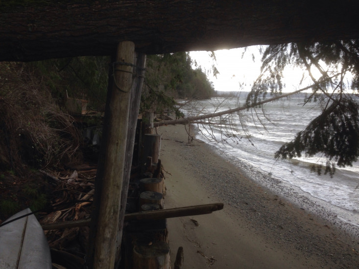
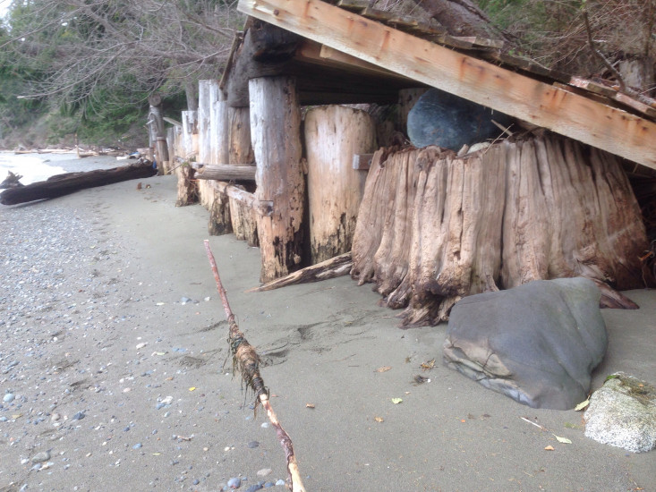
Reference Feature
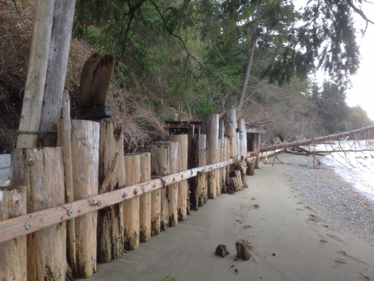
Latitude: 48.1508213142
Longitude: -122.364307623
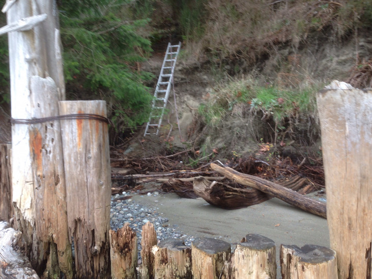
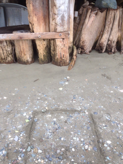
Substrate
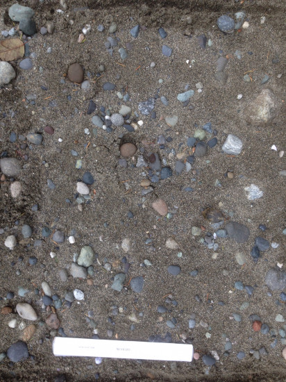
Latitude: 48.1512076781
Longitude: -122.364374846

Tide Gauge
You must be logged in to post a comment.
"Substrate 1 is 6 ft from reference corner piling, 2nd substrate is 3 ft fine sand"