Snohomish County
Tulalip, WA
Storm Surge Report
Report type: Pre-storm
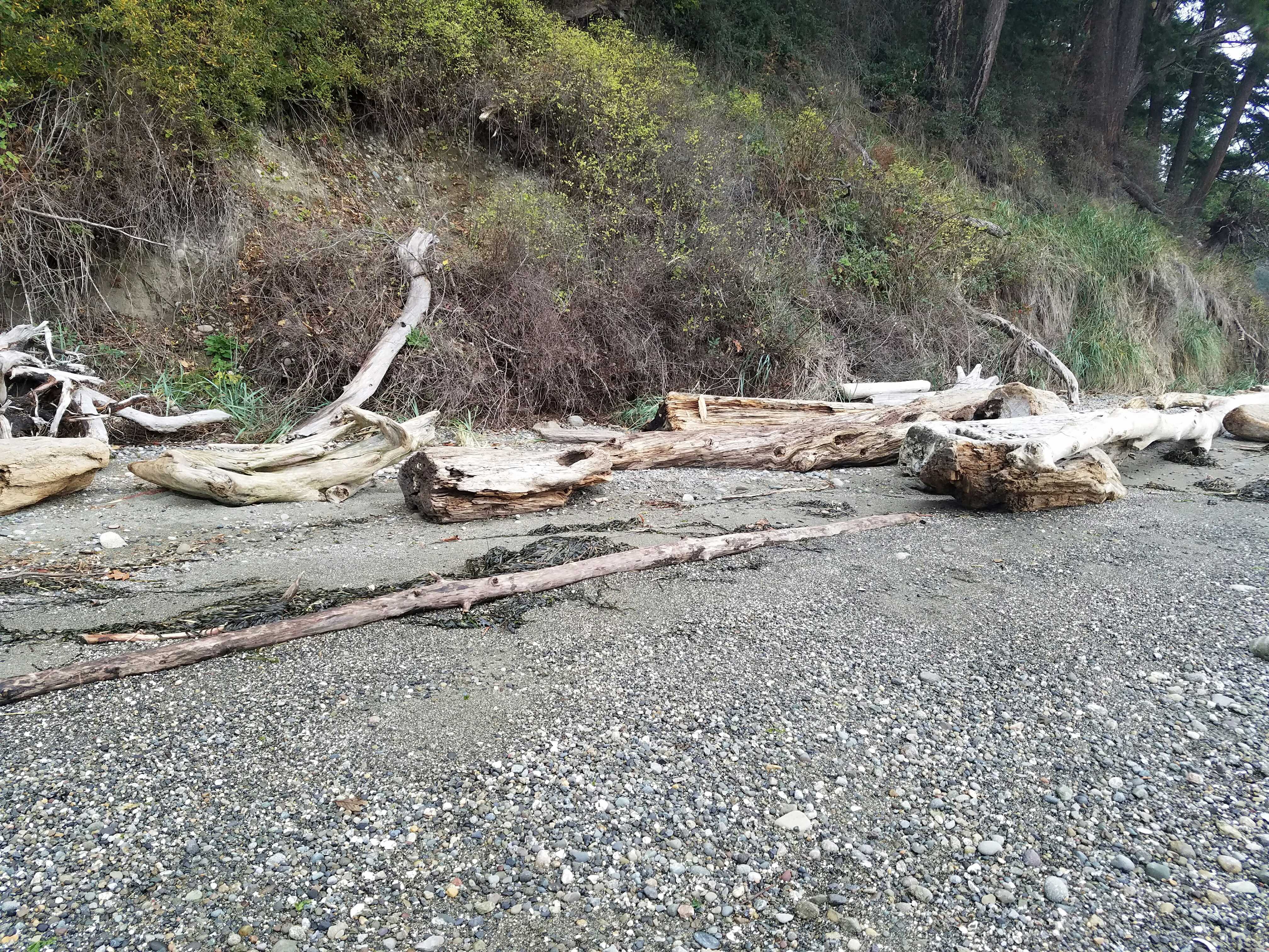
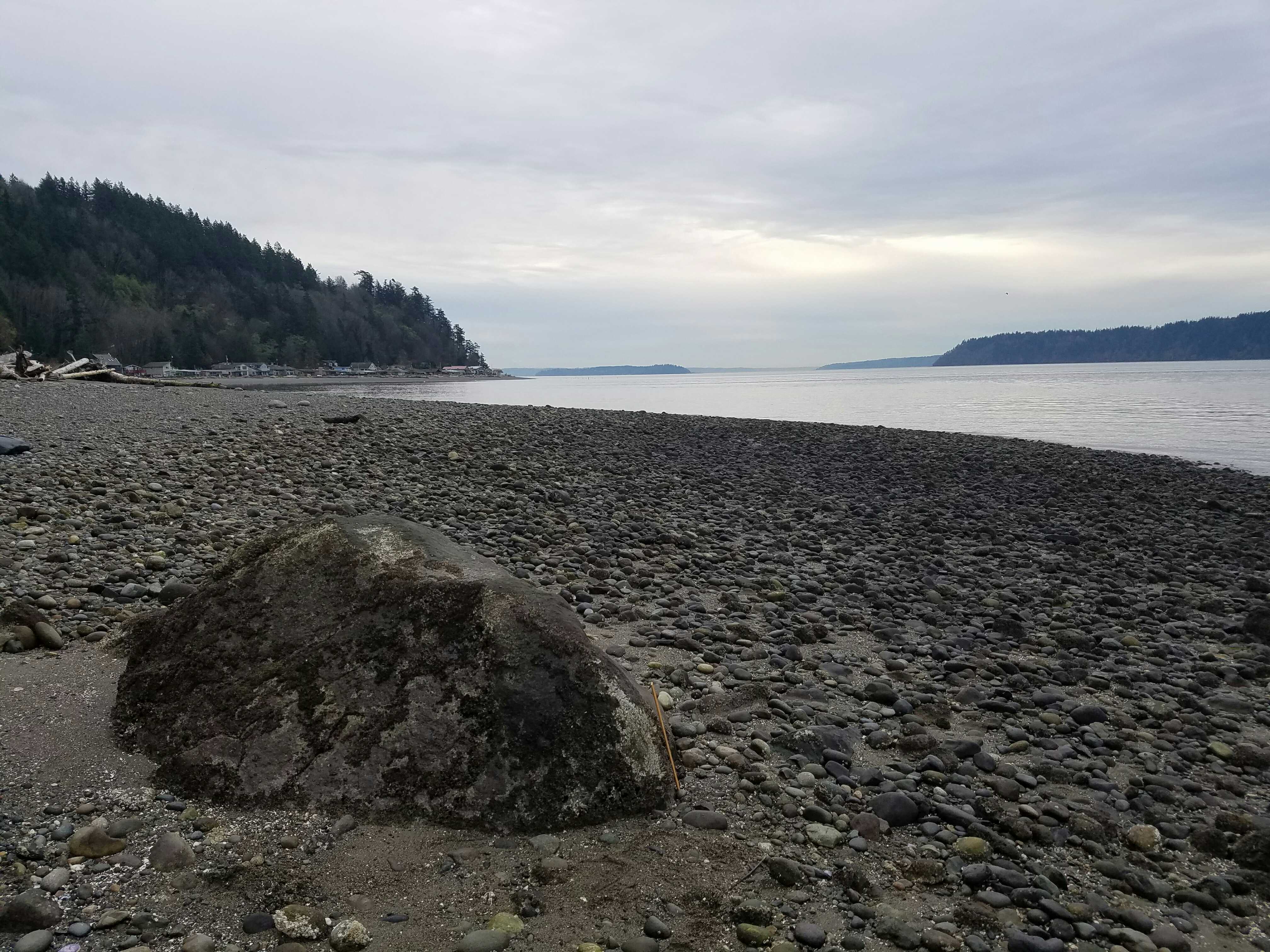
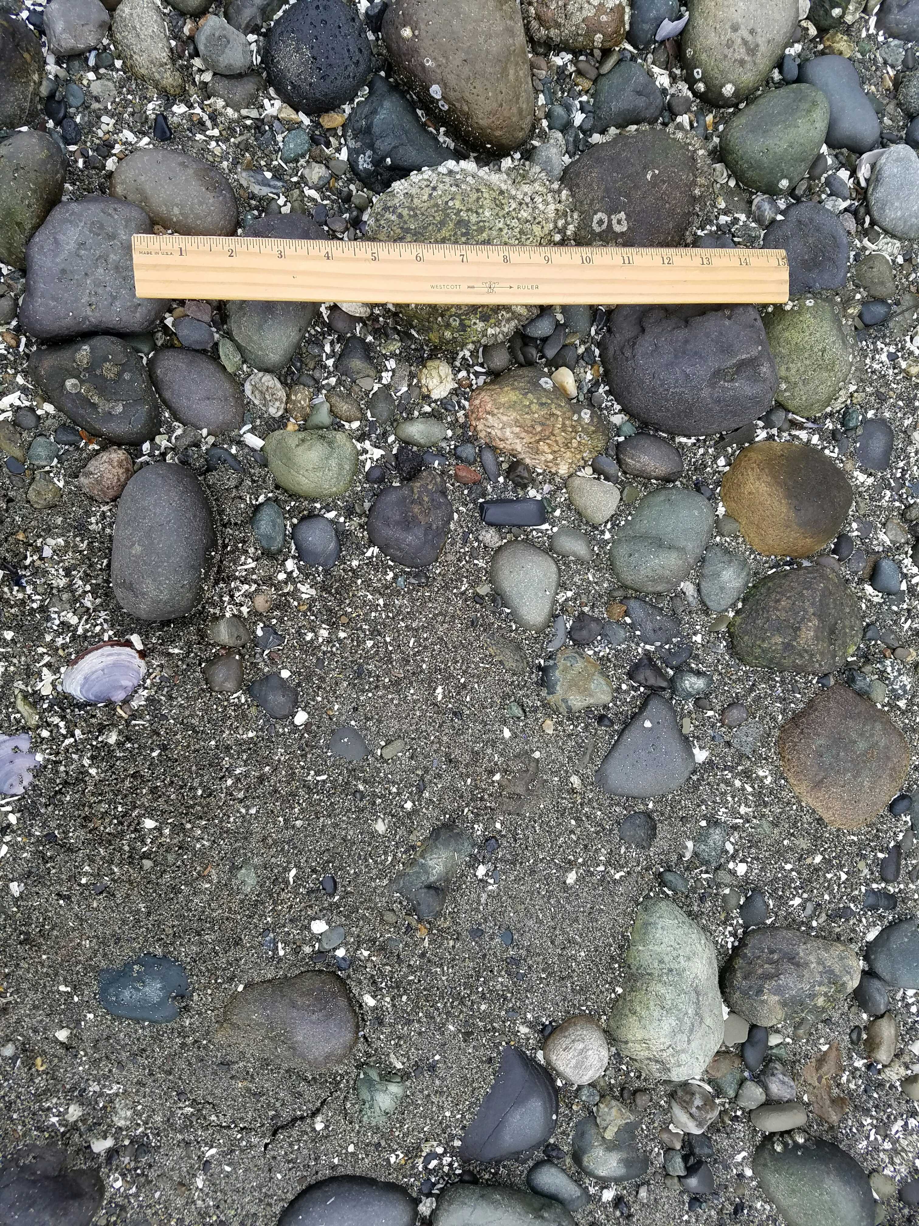
Debris seen:
- Cobbles
- Medium gravel
Measurement represents:
- debris line
Wave height: 0ft
Stake number: 0
Stake Photo
Latitude: 48.10705506
Longitude: -122.34755729
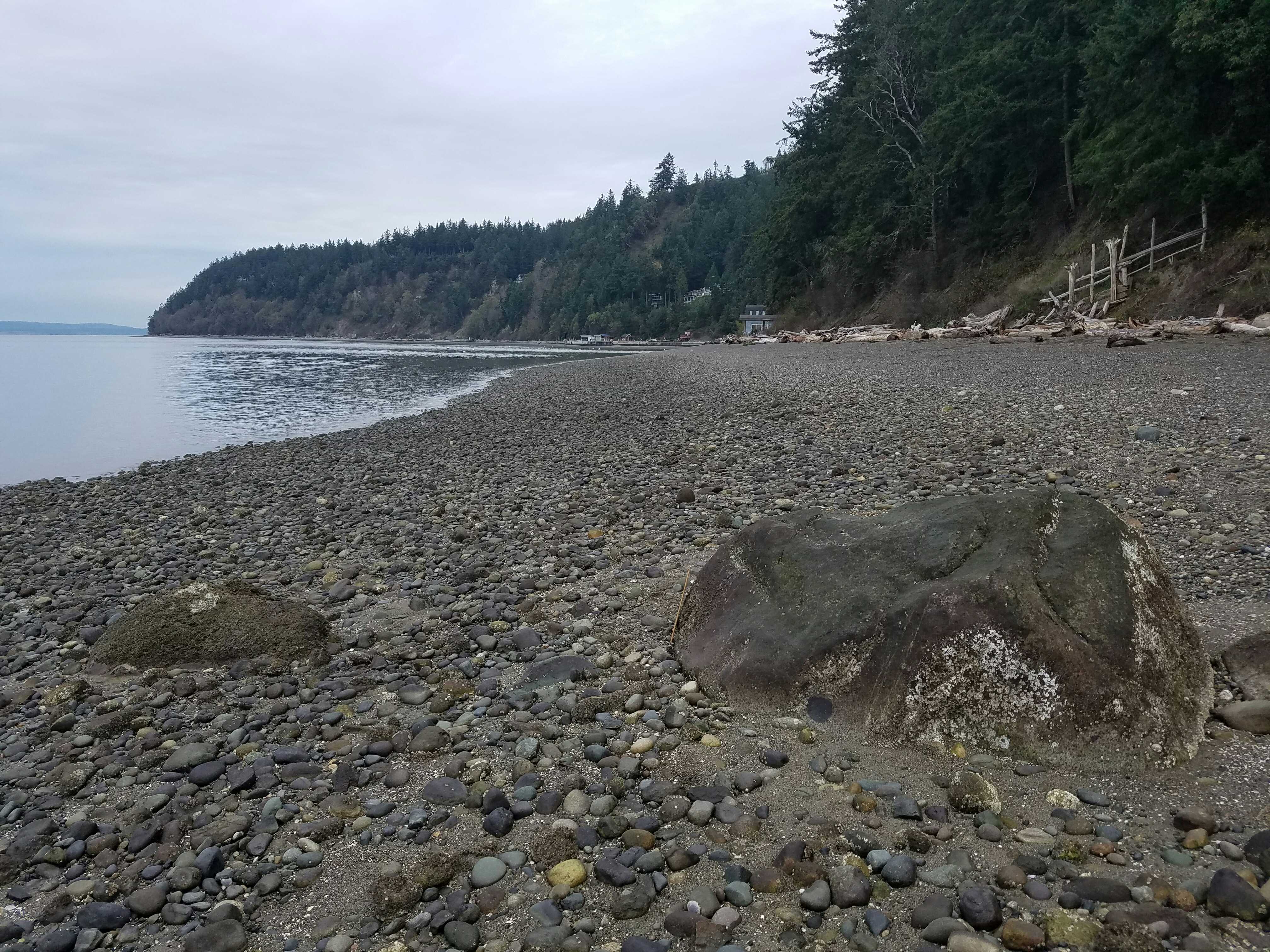
From Vantage Point
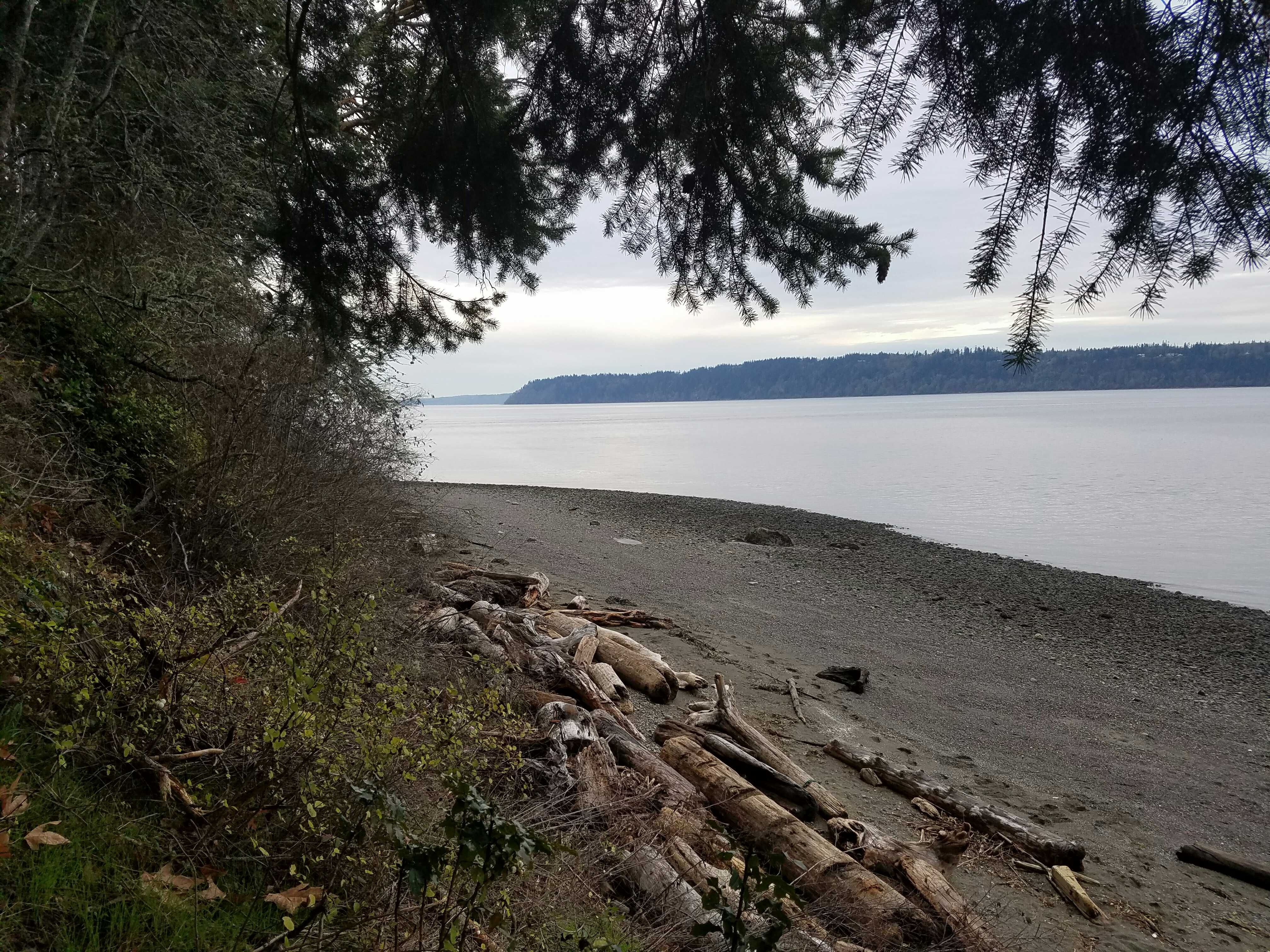
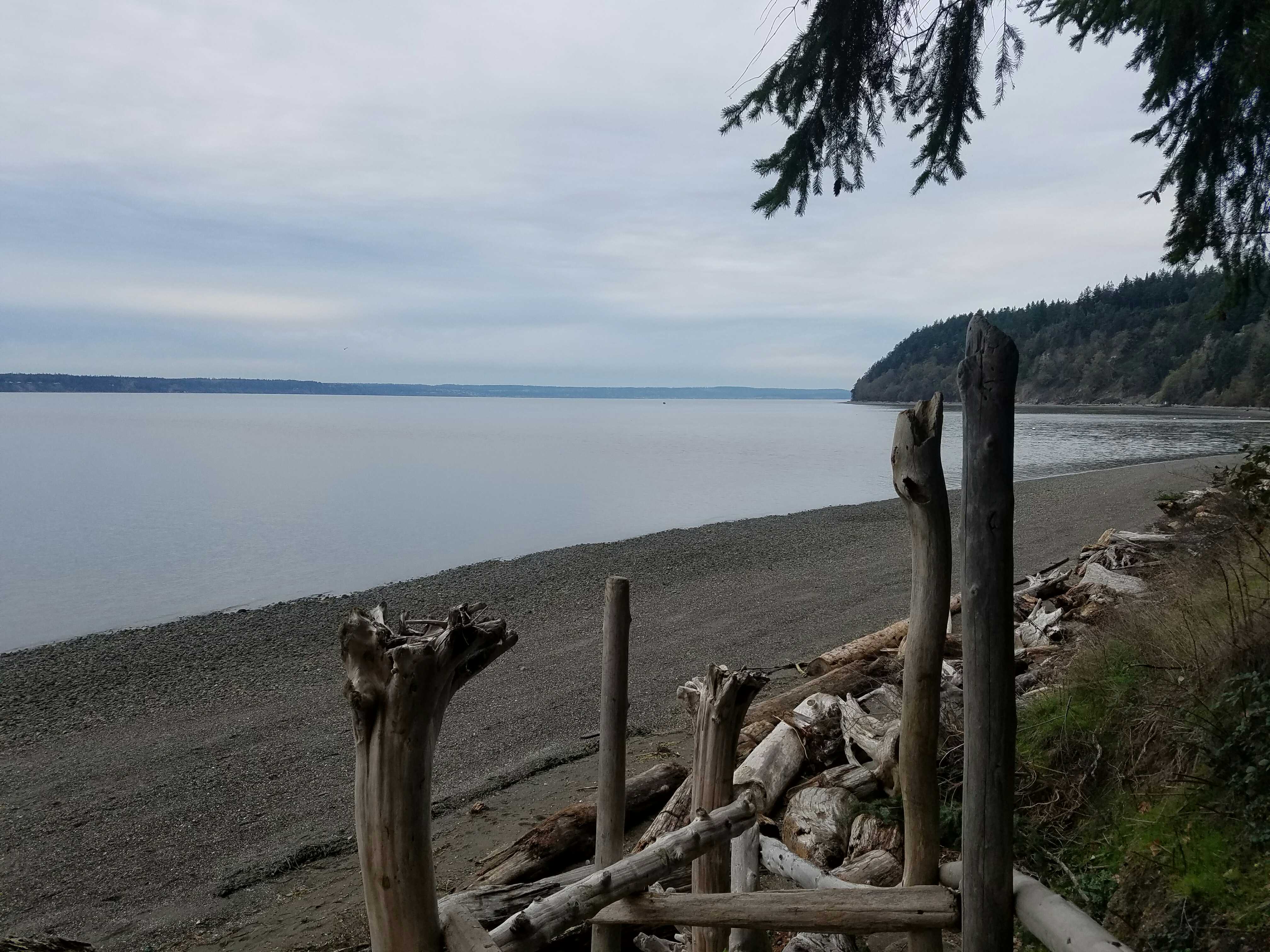
Latitude: 48.10739417
Longitude: -122.34762898
Beach Profile #1
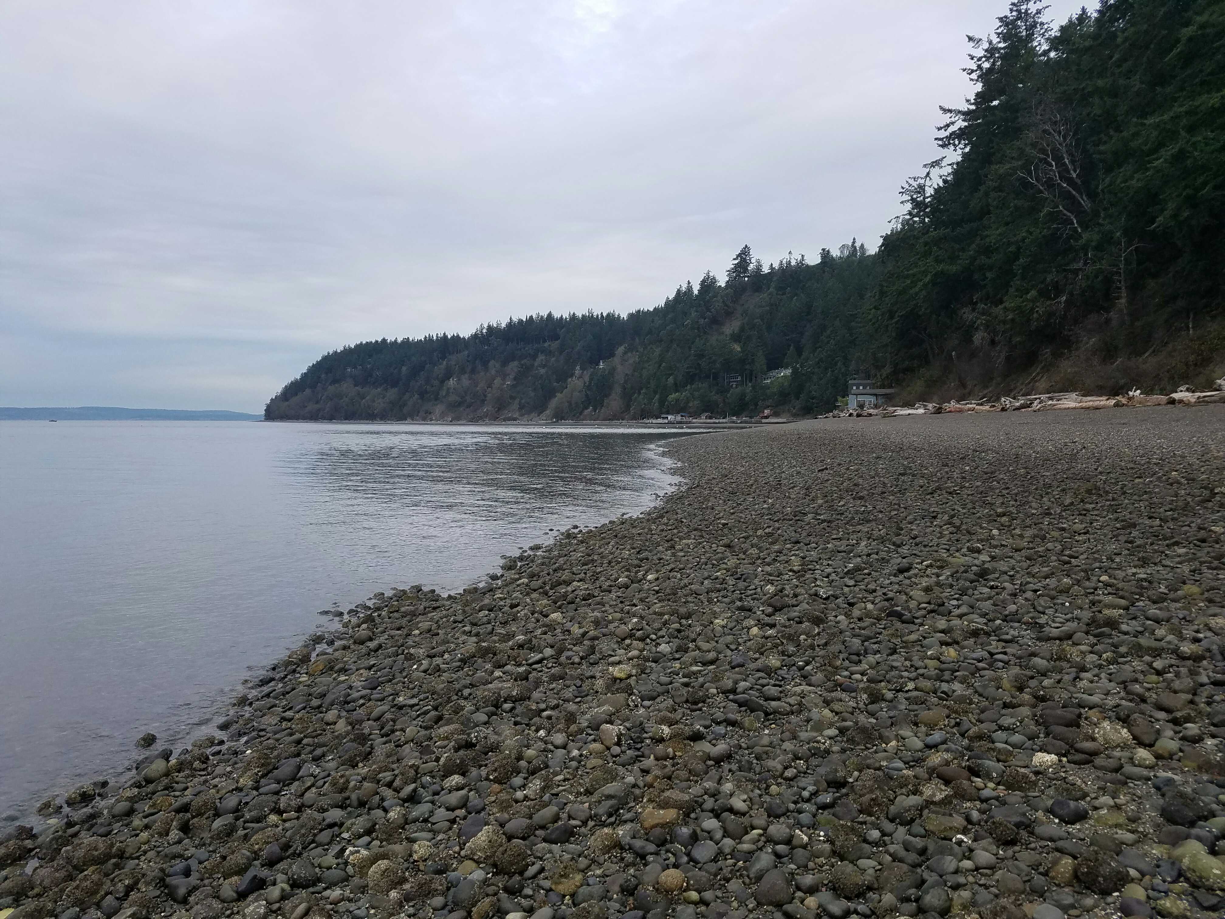
Latitude: 48.10701908
Longitude: -122.34774751
Taken from: South
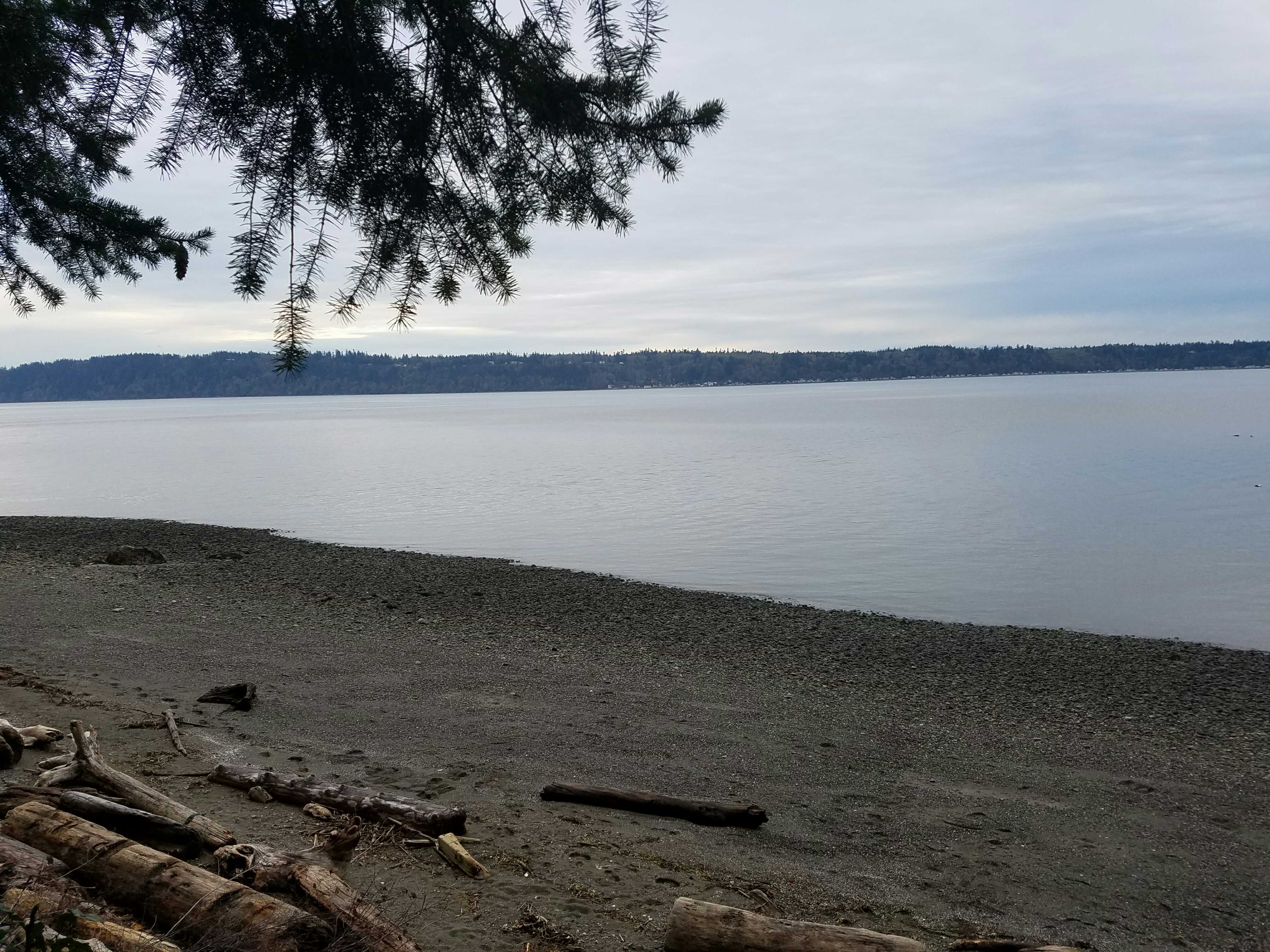
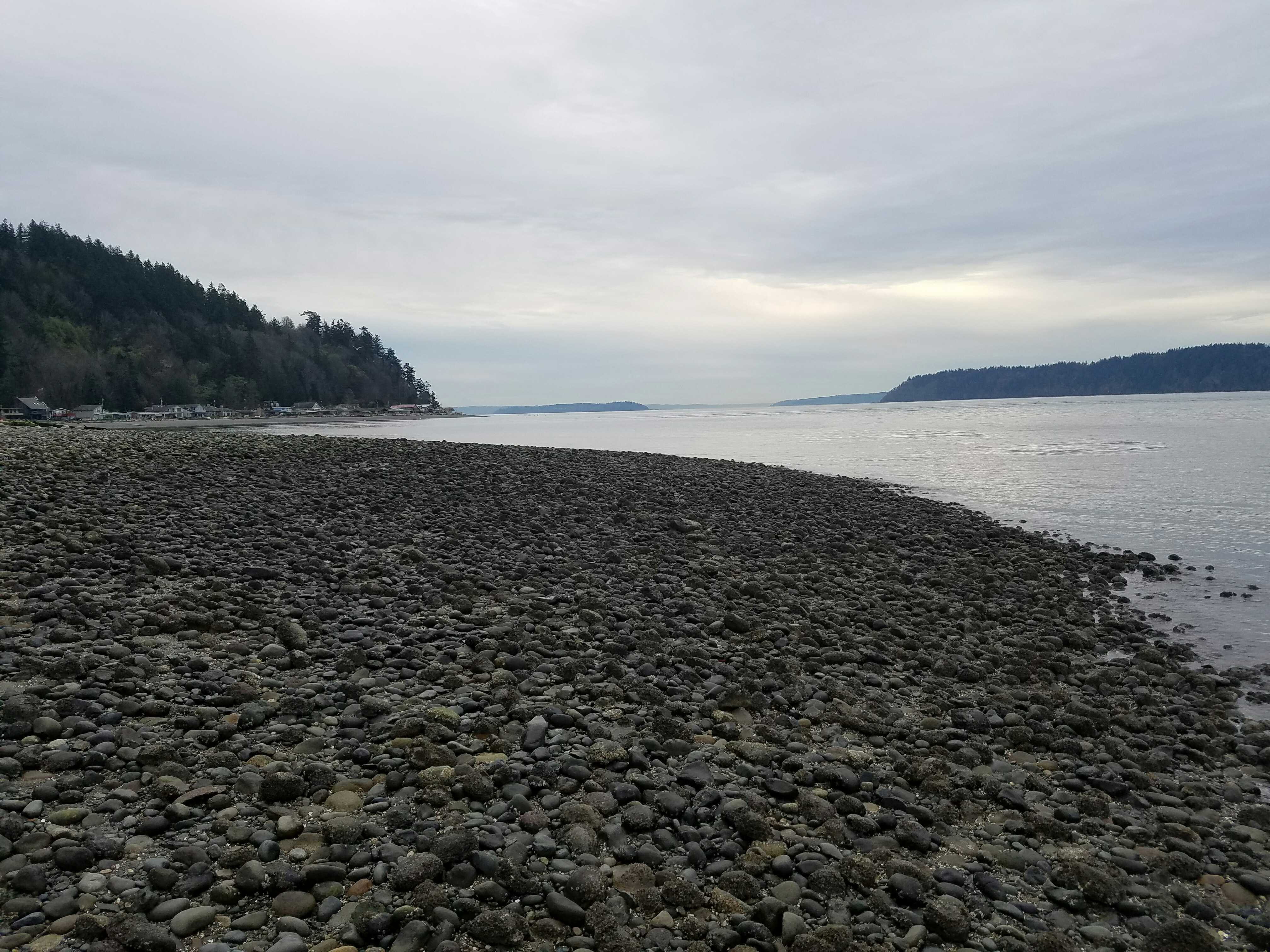
Beach Profile #2
Latitude: 48.10697203
Longitude: -122.34769861
Taken from: North
Reference Feature
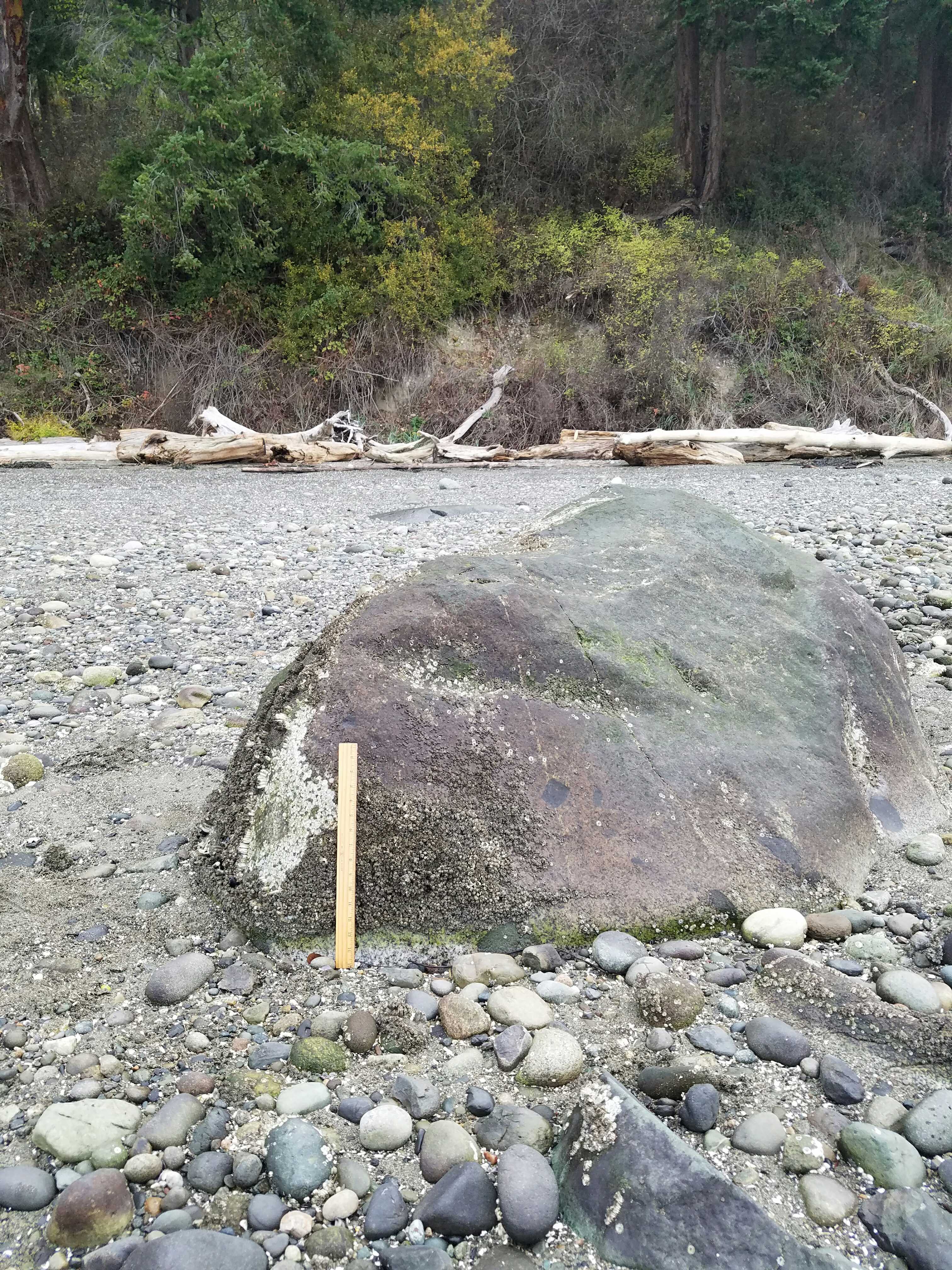
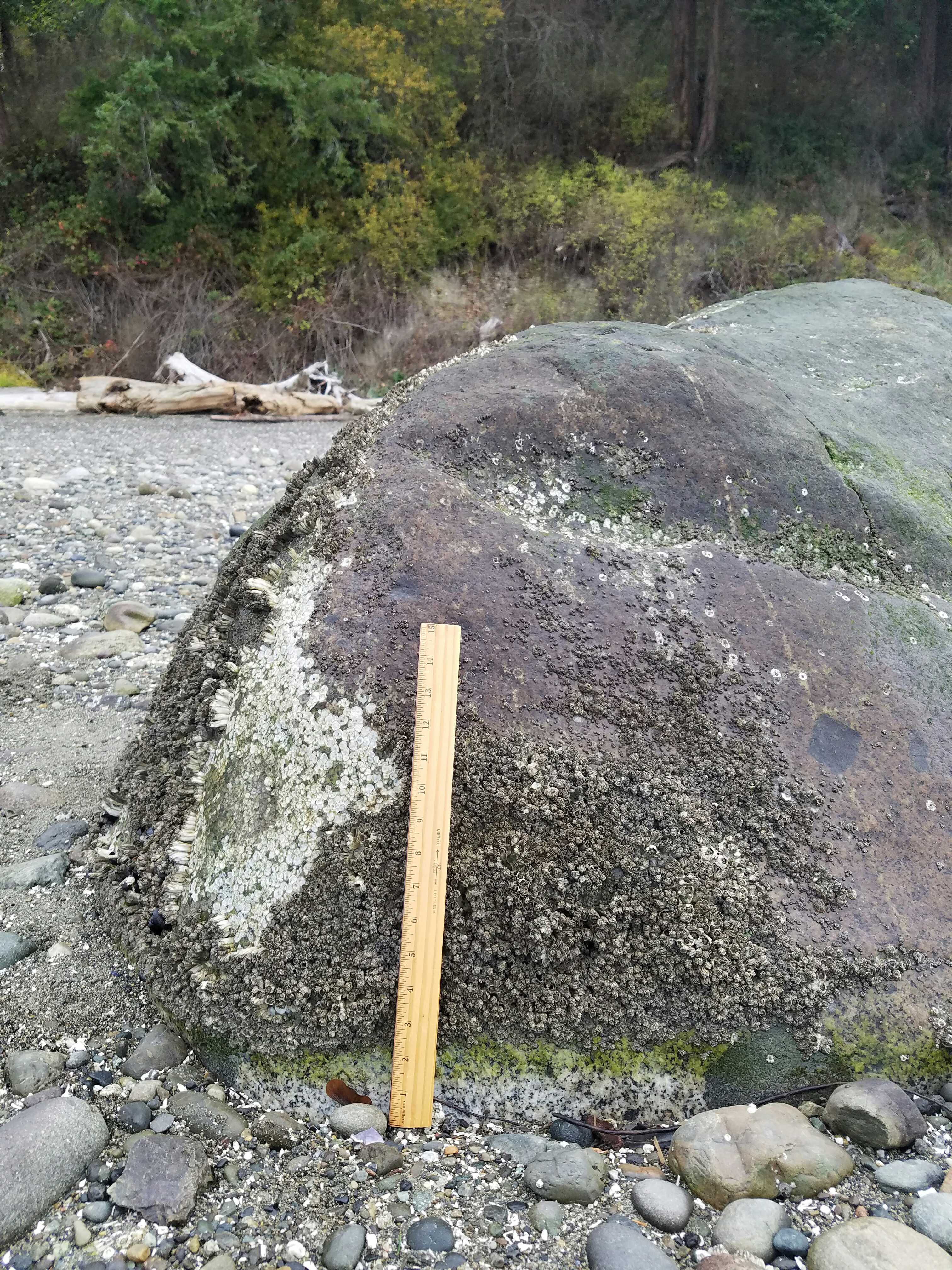
Latitude: 48.10698647
Longitude: -122.34770923
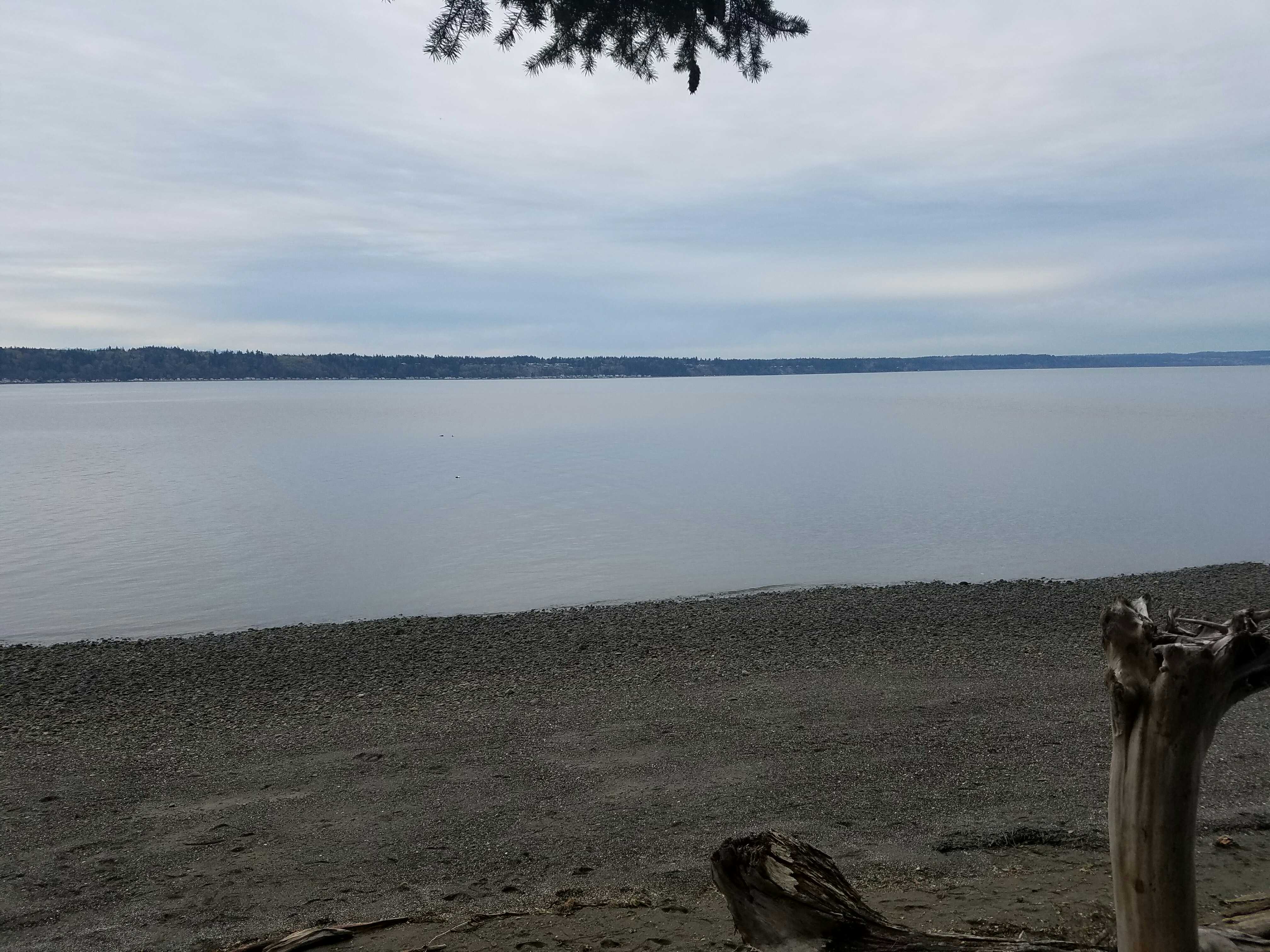
Substrate
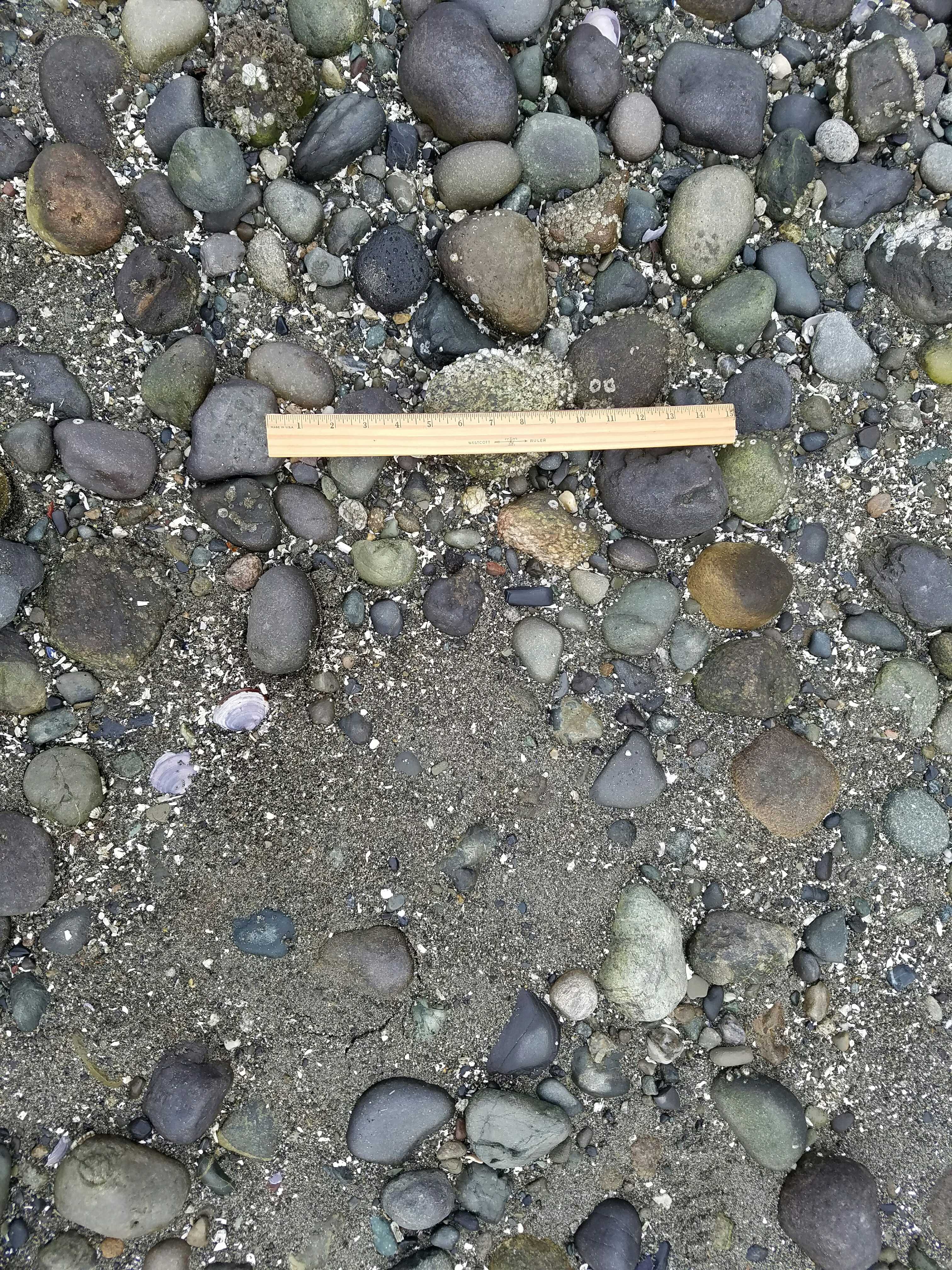
Latitude: 48.111896
Longitude: -122.3483939
Tidal Overview
![]() 4 hours 48 minutes before high tide
4 hours 48 minutes before high tide
Data from Port Townsend (19.7 miles away)
Water Level (at time of report): 8:30 am, 4.7' MLLW
High Tide (Predicted): 1:10 pm, 8.8' MLLW
High Tide (Observed): 1:18 pm, 9.3' MLLW
■ Observed
■ Predicted water level
⬤ Report time
Weather Overview
Wind Speed: 2.3 MPH
Wind Direction: E (86°)
Temperature: 55℉
Rainfall (Calendar Day): 0"
Rainfall (Past 24 Hours): 0"
User-observed Weather:
- Overcast
You must be logged in to post a comment.
"My feature item is a bit low on the beach. It was the only in movable item to pick from. Well need to do all my measurements at a lower tide."