Snohomish County
Stanwood, WA
Storm Surge Report
User Submitted Data
Report type: Pre-storm
Debris seen:
- Coarse gravel
- Medium sand
Measurement represents:
- erosion
Wave height: 1.5ft
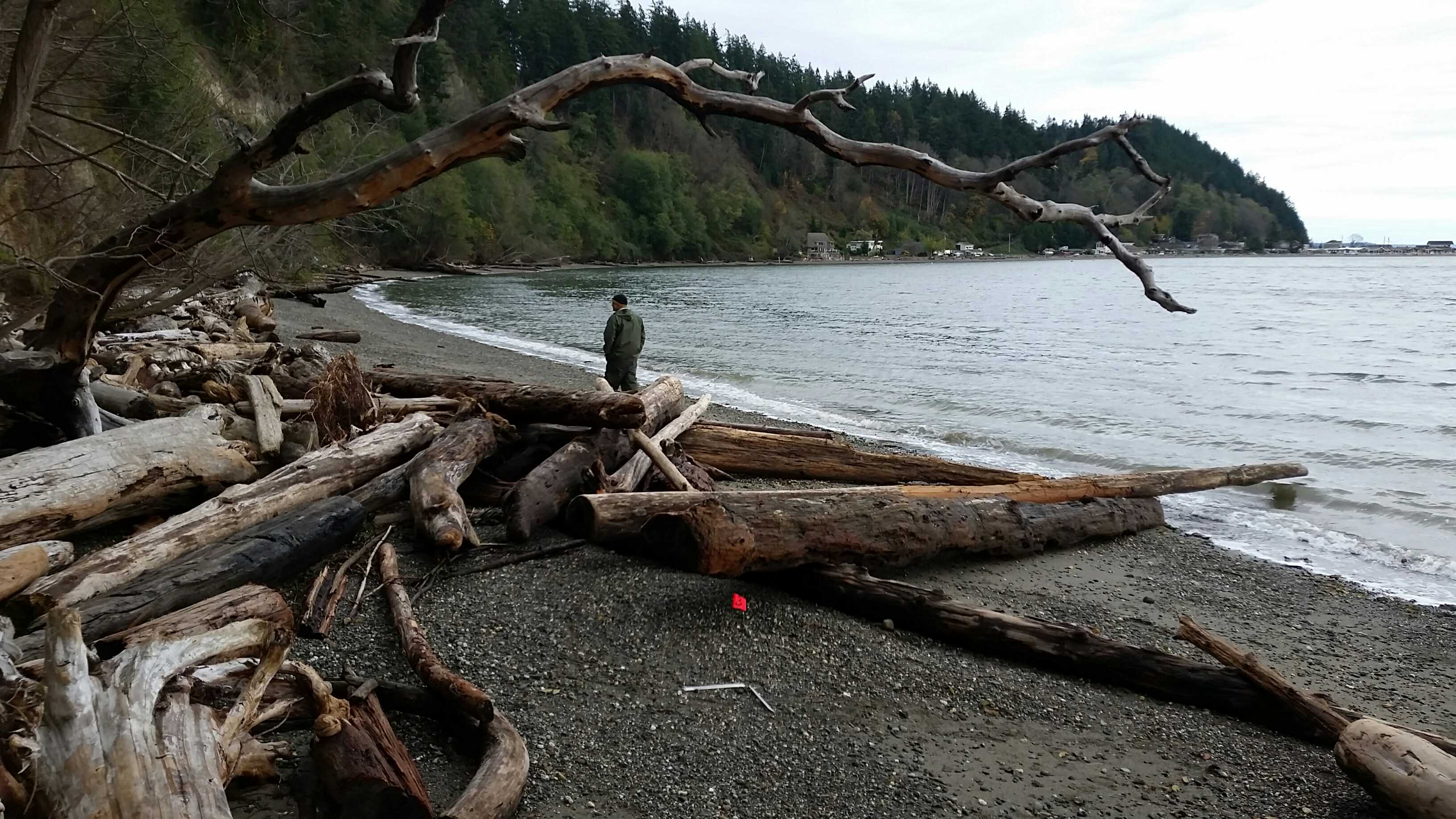
Stake number: 3
Stake Photo

Latitude: 48.1343456
Longitude: -122.366557
From Vantage Point
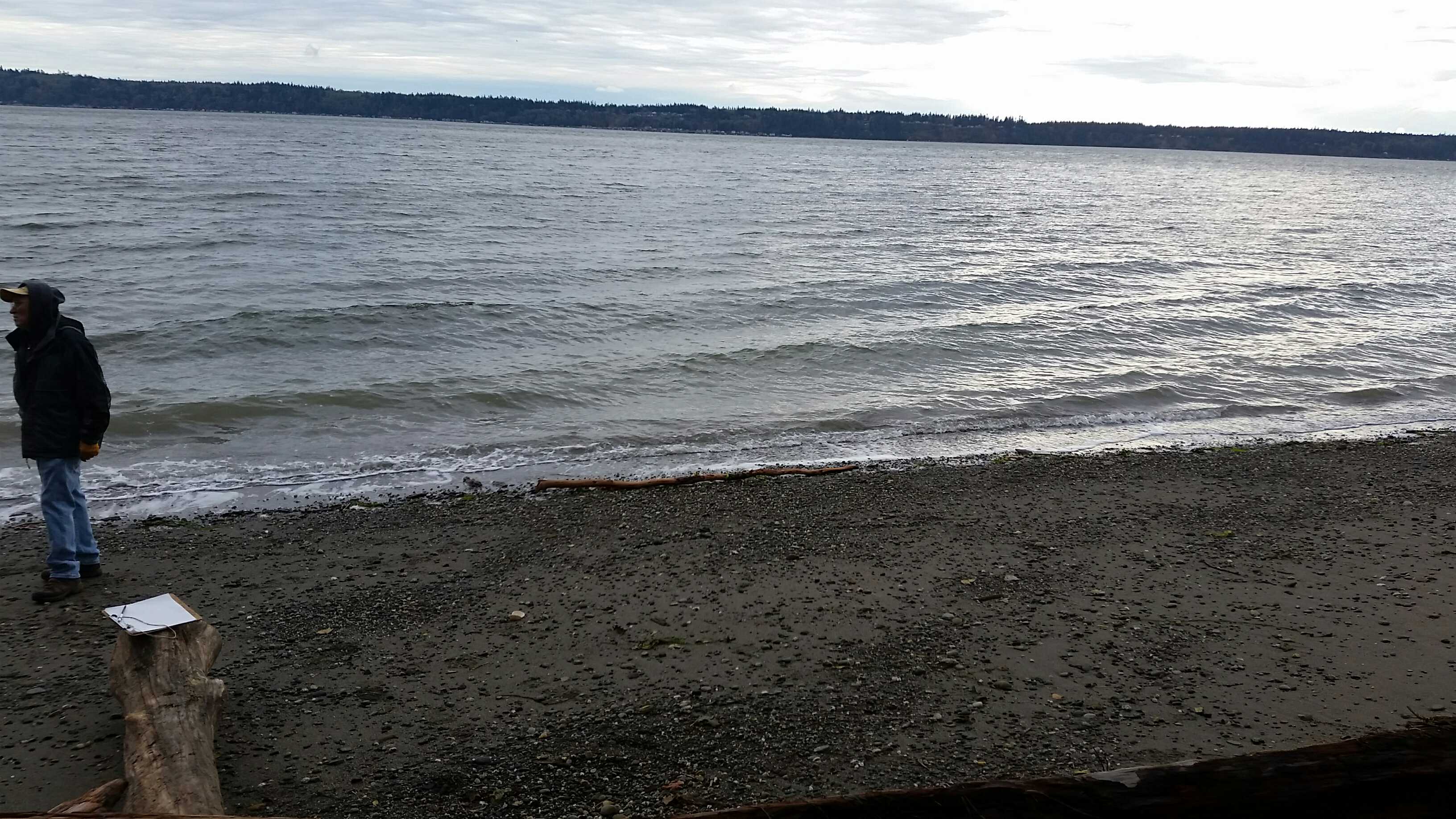
Latitude: 48.1256732
Longitude: -122.3639523
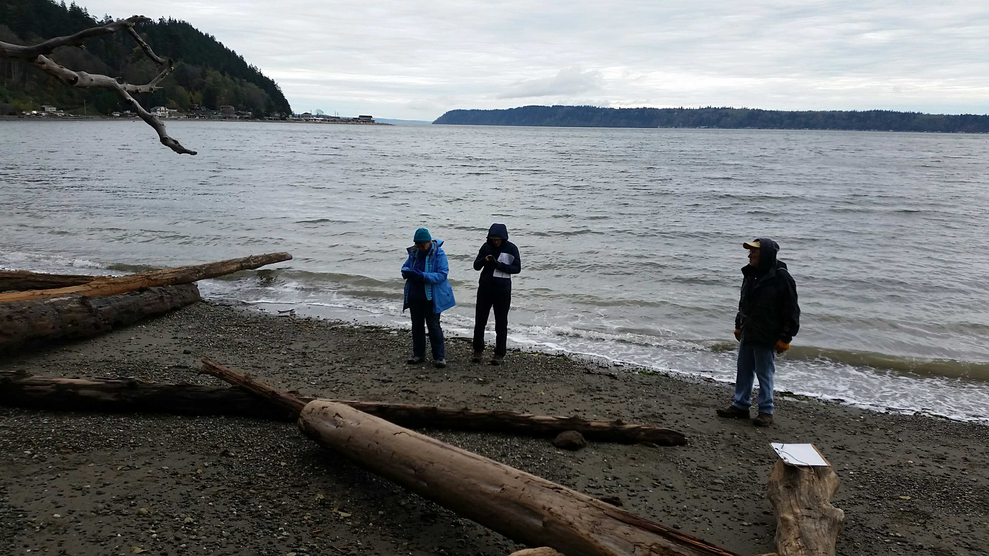
Beach Profile #1
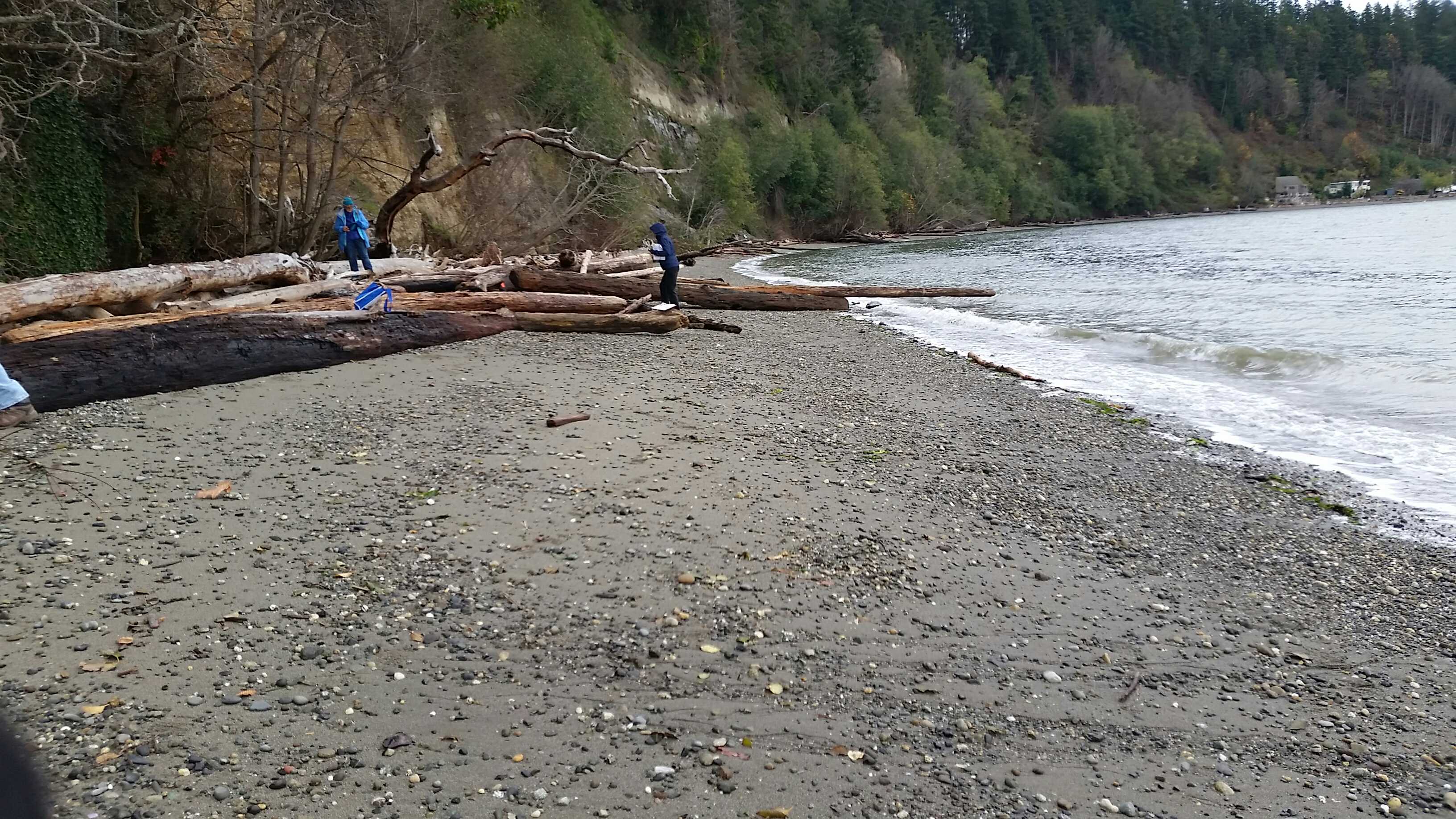
Latitude: 48.13428
Longitude: -122.3662648
Taken from: North
Beach Profile #2
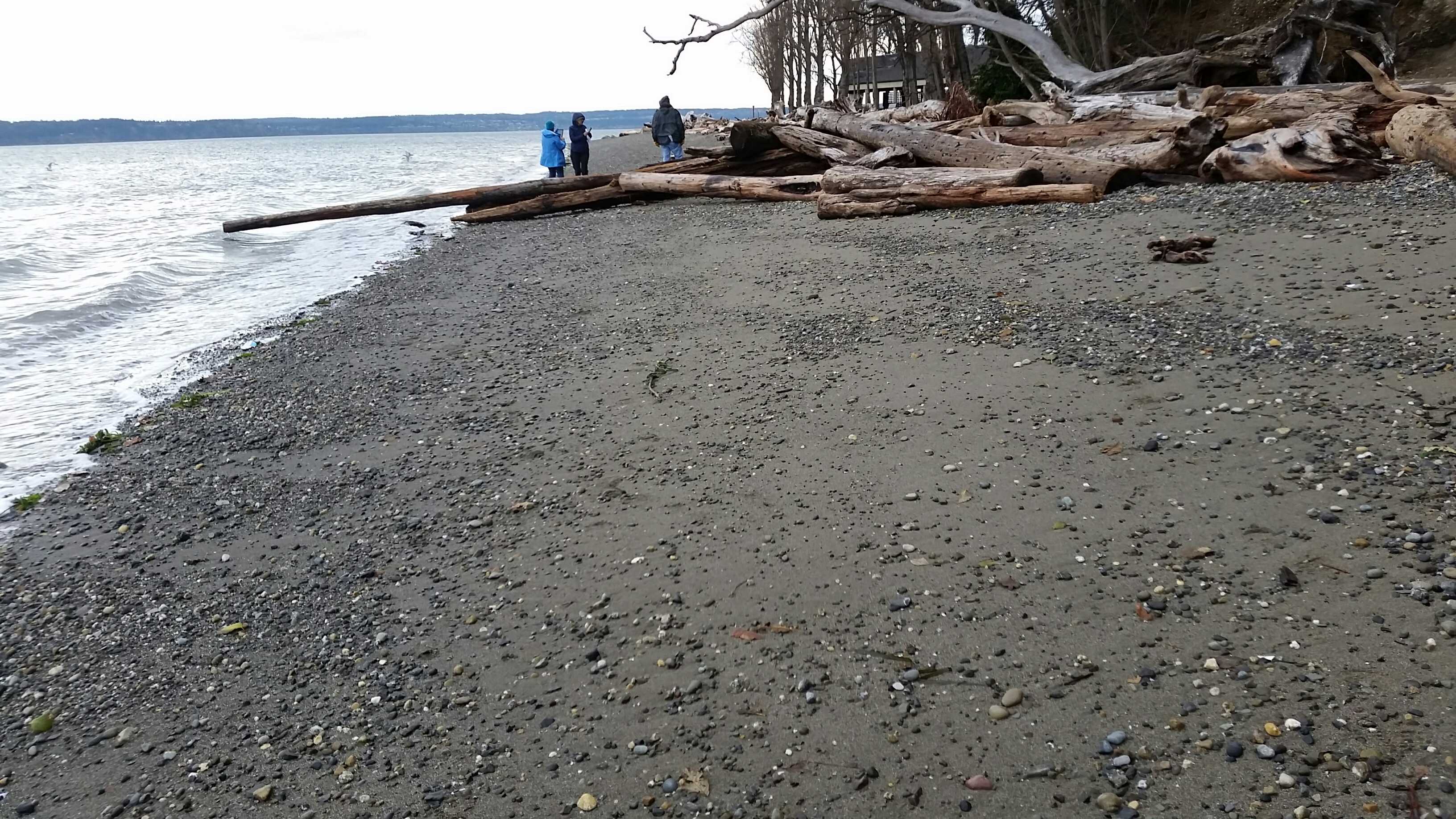
Latitude: 48.1342755
Longitude: -122.3662138
Taken from: South
Reference Feature
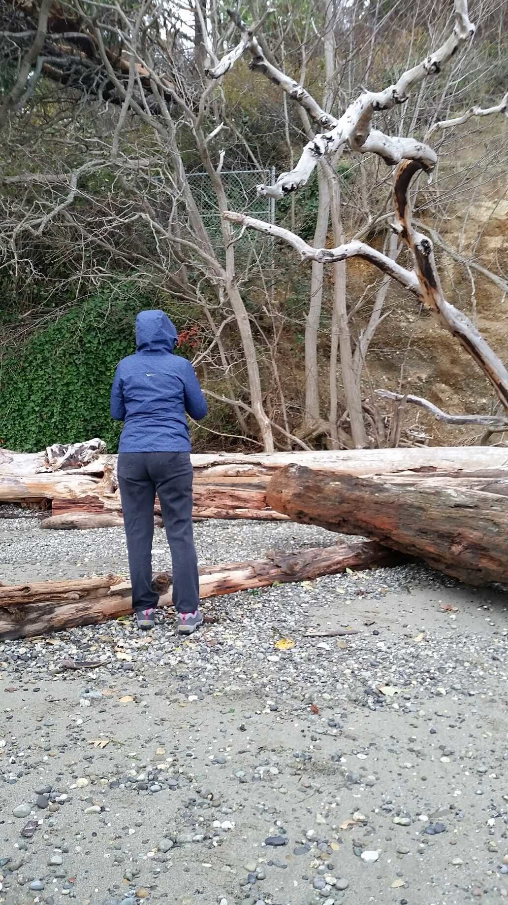
Latitude: 48.1343335
Longitude: -122.3664981
Substrate
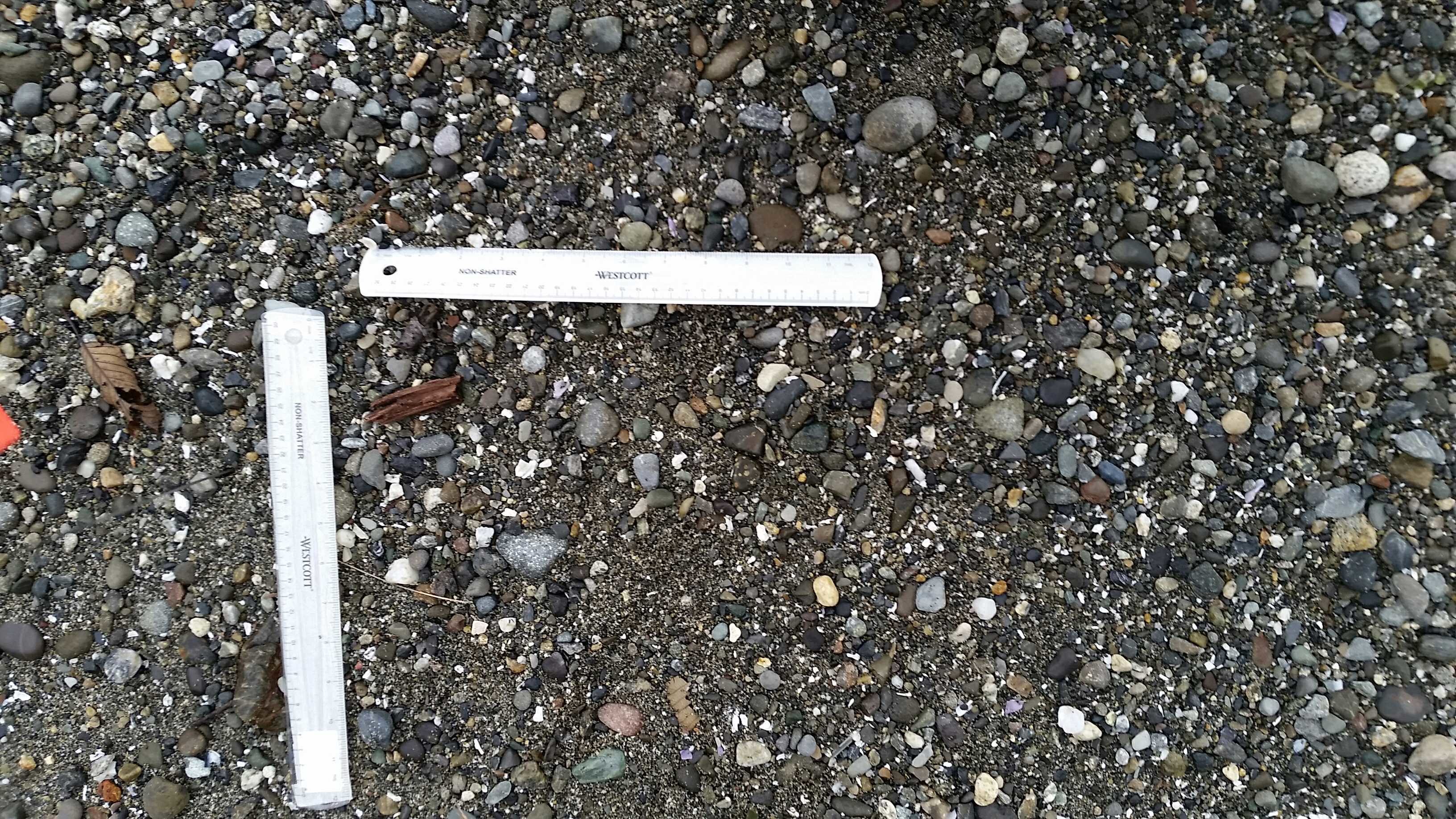
Latitude: 48.1343432
Longitude: -122.366517
Tidal Overview
![]() 2 hours 19 minutes before high tide
2 hours 19 minutes before high tide
Data from Port Townsend (18.8 miles away)
Water Level (at time of report): 3:17 pm, 7.6' MLLW
High Tide (Predicted): 5:40 pm, 7.5' MLLW
High Tide (Observed): 5:36 pm, 8.6' MLLW
Loading NOAA Tide Data…
Weather Overview
Wind Speed: 6.1 MPH
Wind Direction: ENE (62°)
Temperature: 54℉
Rainfall (Calendar Day): 0.003"
Rainfall (Past 24 Hours): 0.07"
User-observed Weather:
- Overcast
Reference Point 3 Kayak Pt Park