Snohomish County
Stanwood, WA
Storm Surge Report
User Submitted Data
Report type: Pre-storm
Debris seen:
- Fine gravel
- Medium sand
Measurement represents:
- runup
Wave height: 0ft
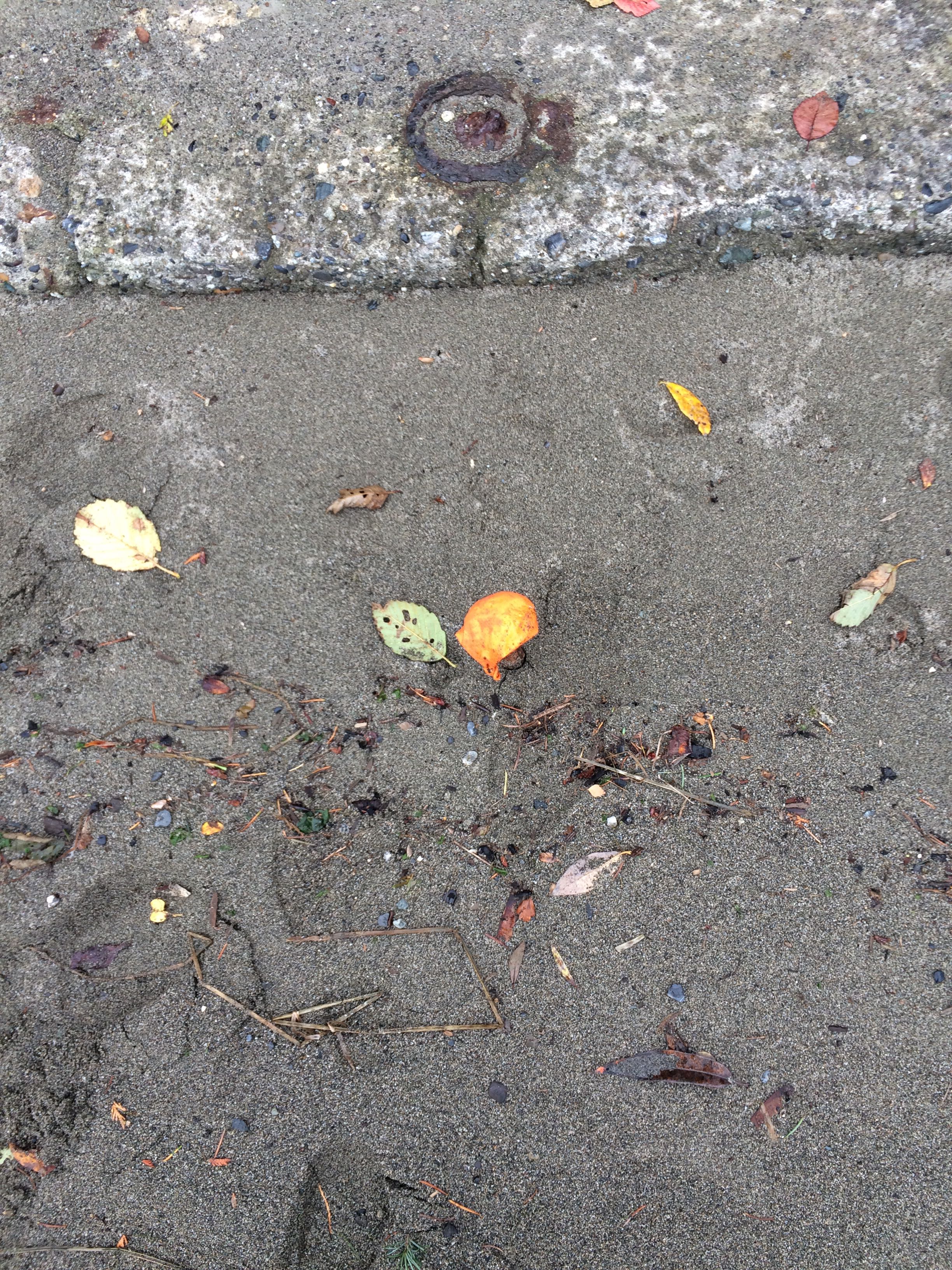
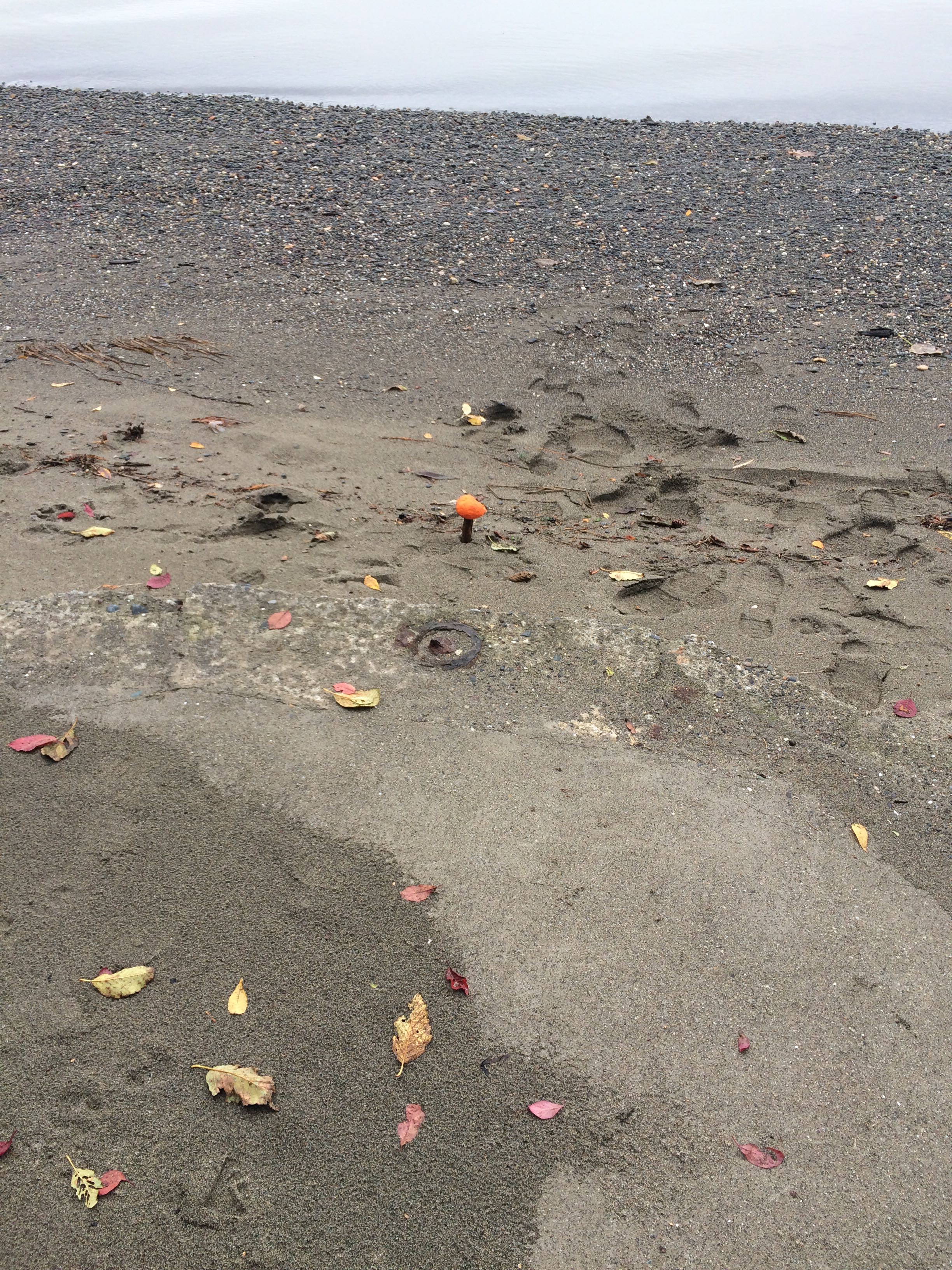
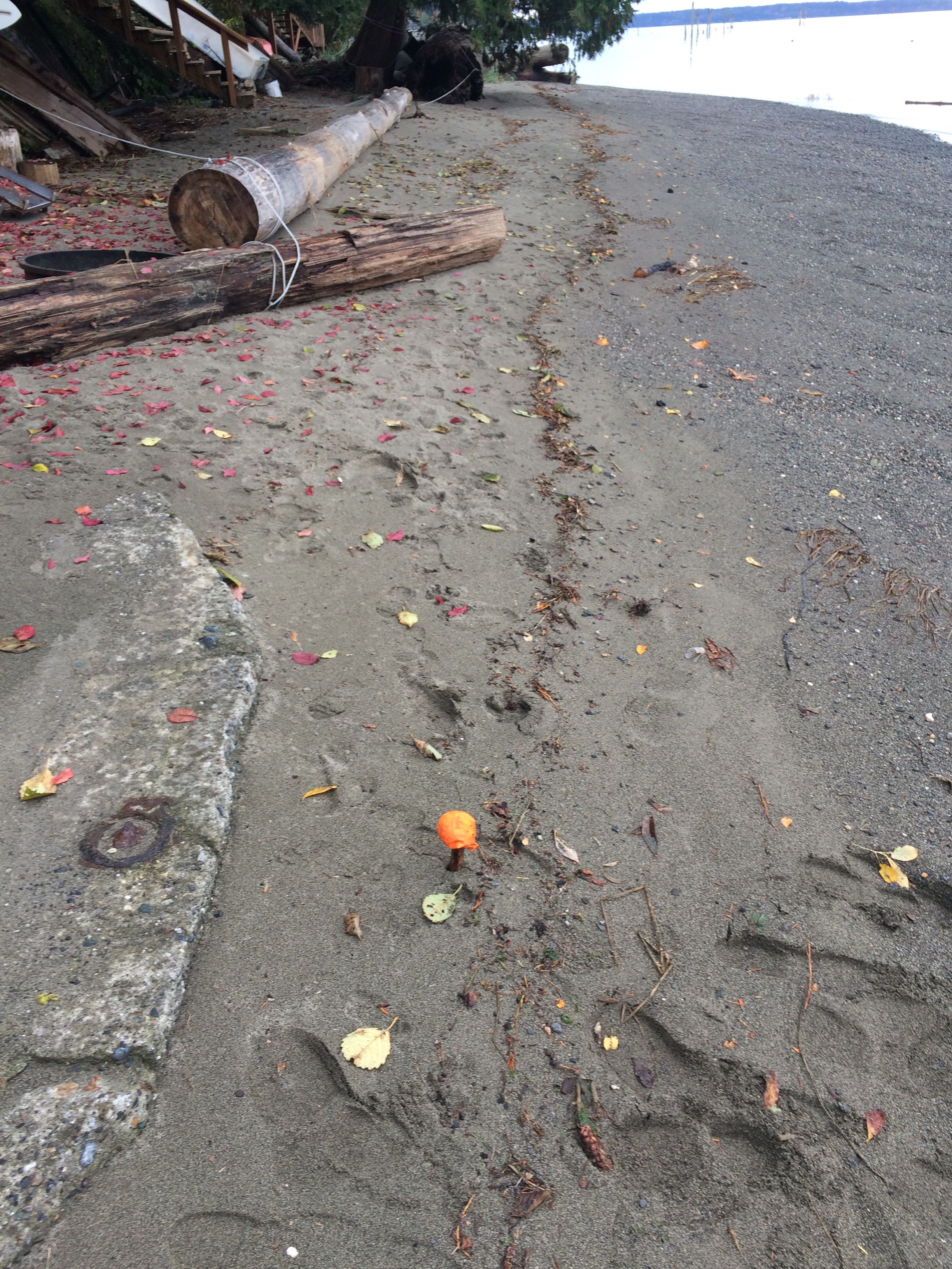
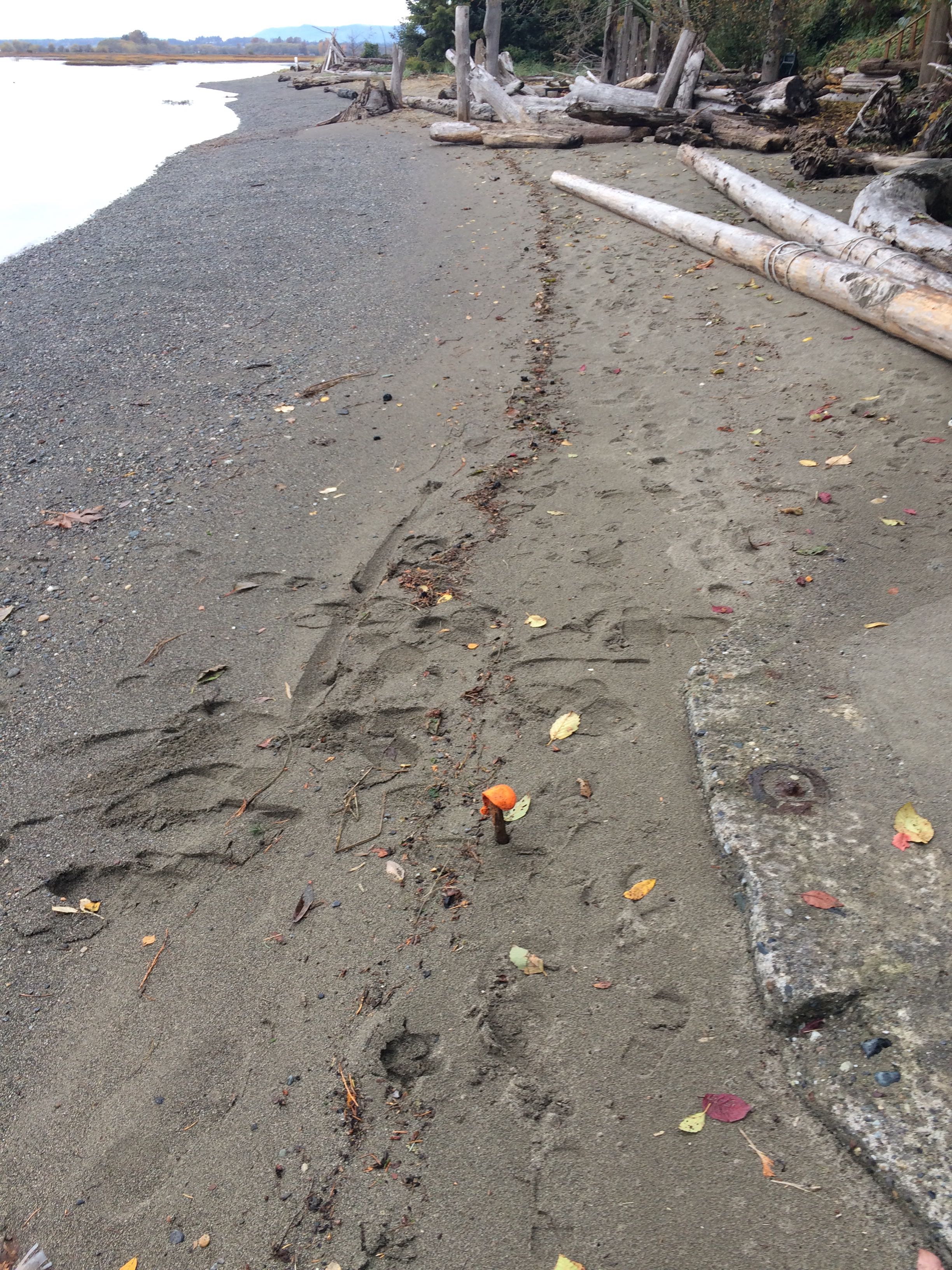
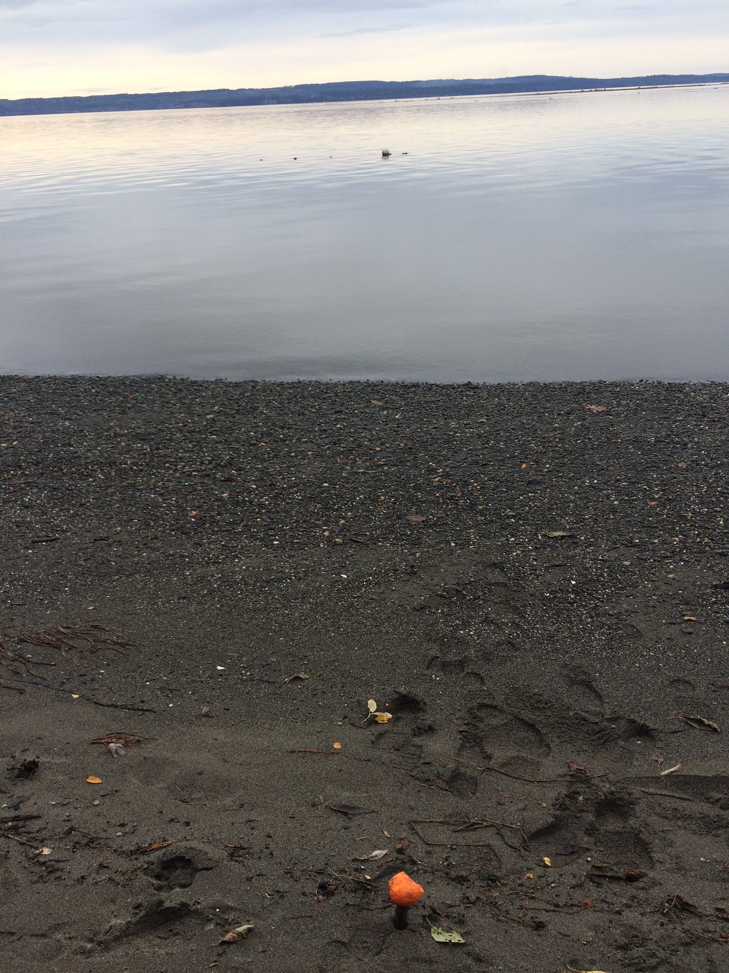
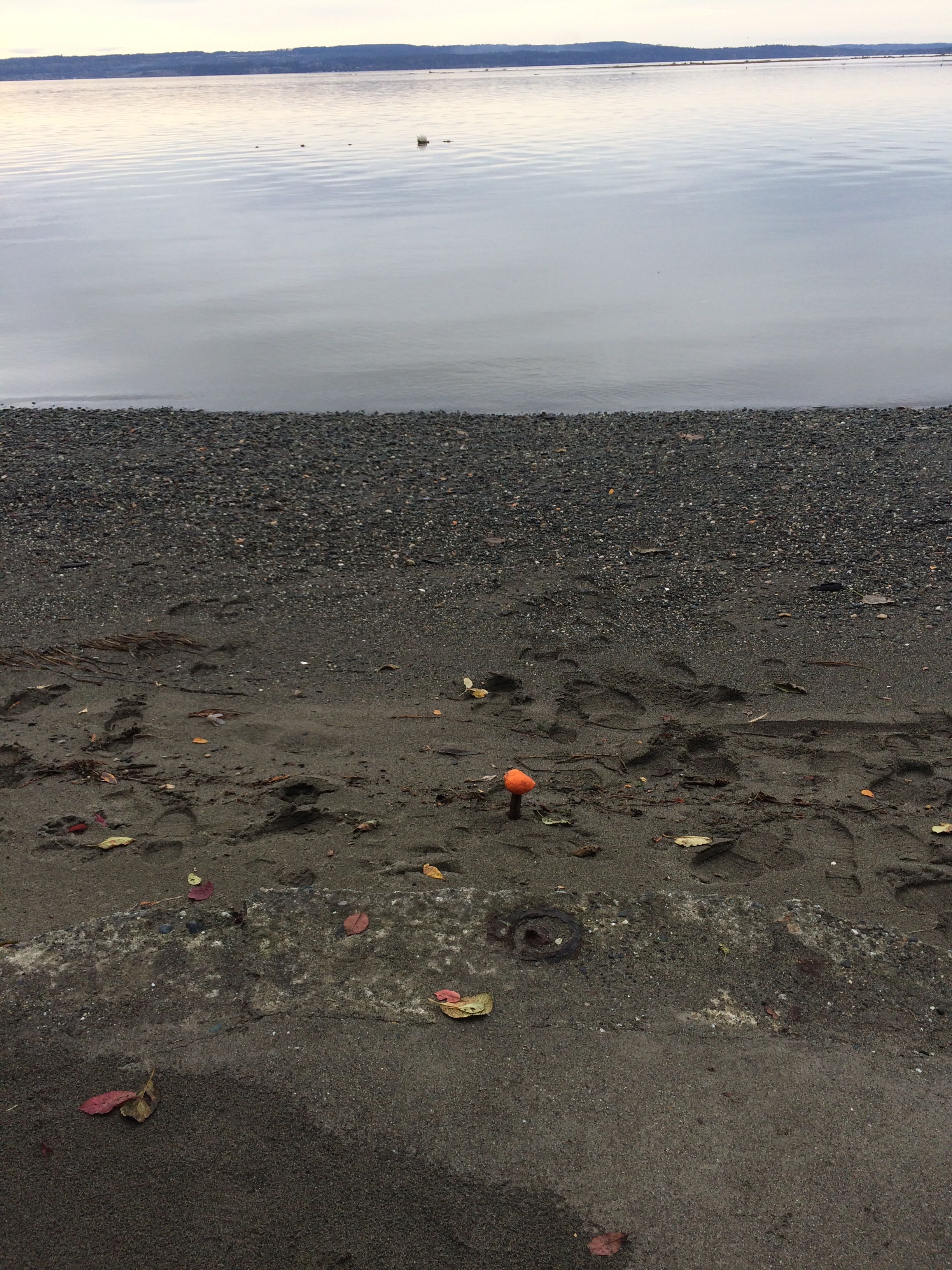
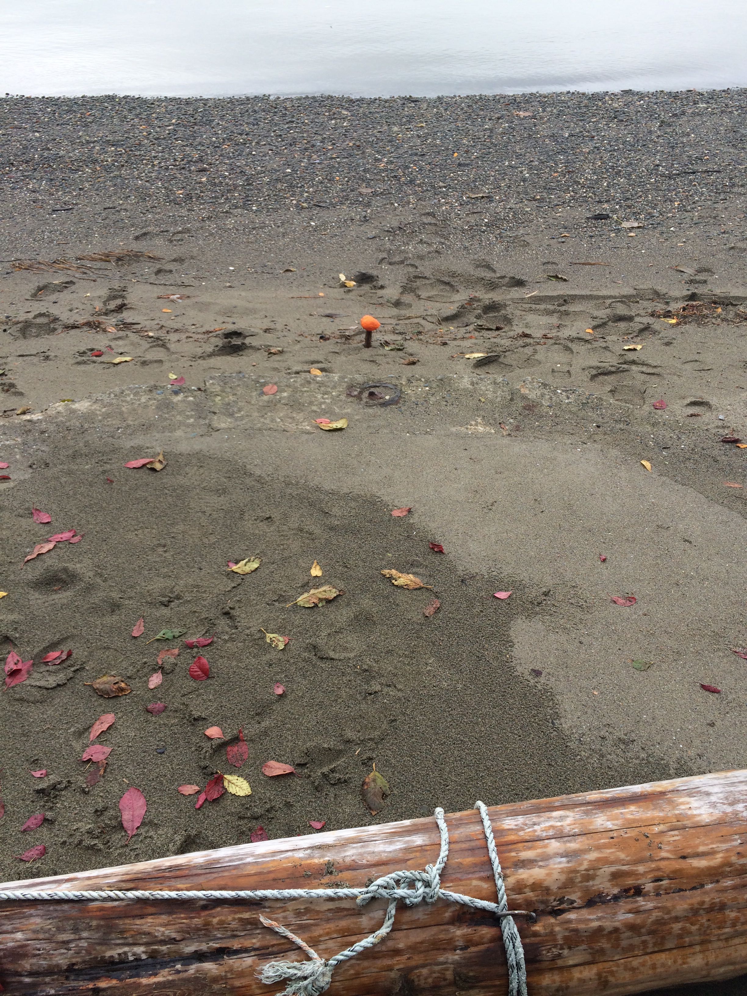
Stake number: 1
Stake Photo
Latitude: 48.1811977504
Longitude: -122.358014491
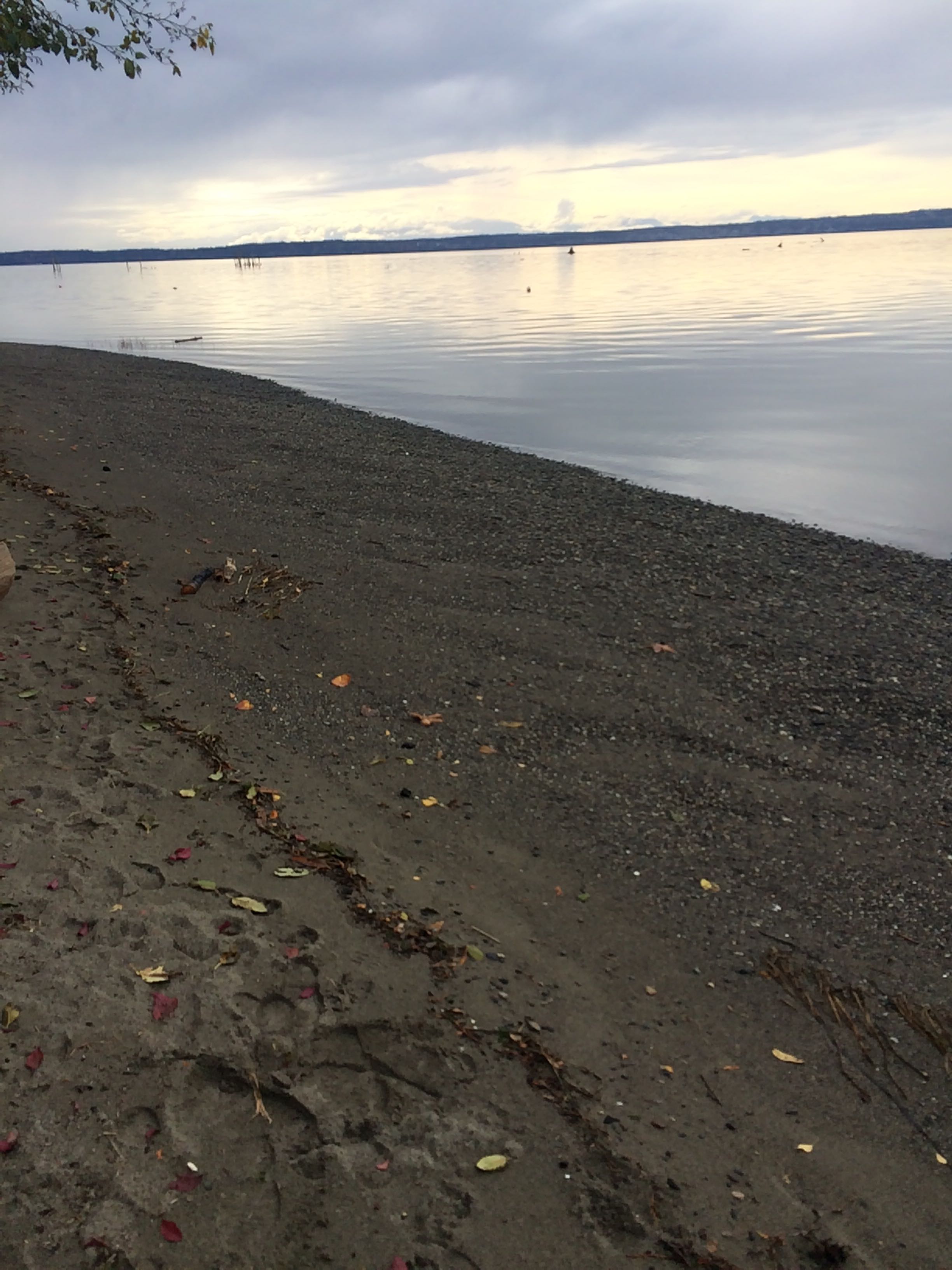
From Vantage Point
Latitude: 48.1812313619
Longitude: -122.357922373
Beach Profile #1
Latitude: 48.1812553341
Longitude: -122.358060004
Taken from: East
Beach Profile #2
Latitude: 48.1812417135
Longitude: -122.357921787
Taken from: West
Reference Feature
Latitude: 48.1812417135
Longitude: -122.357921787
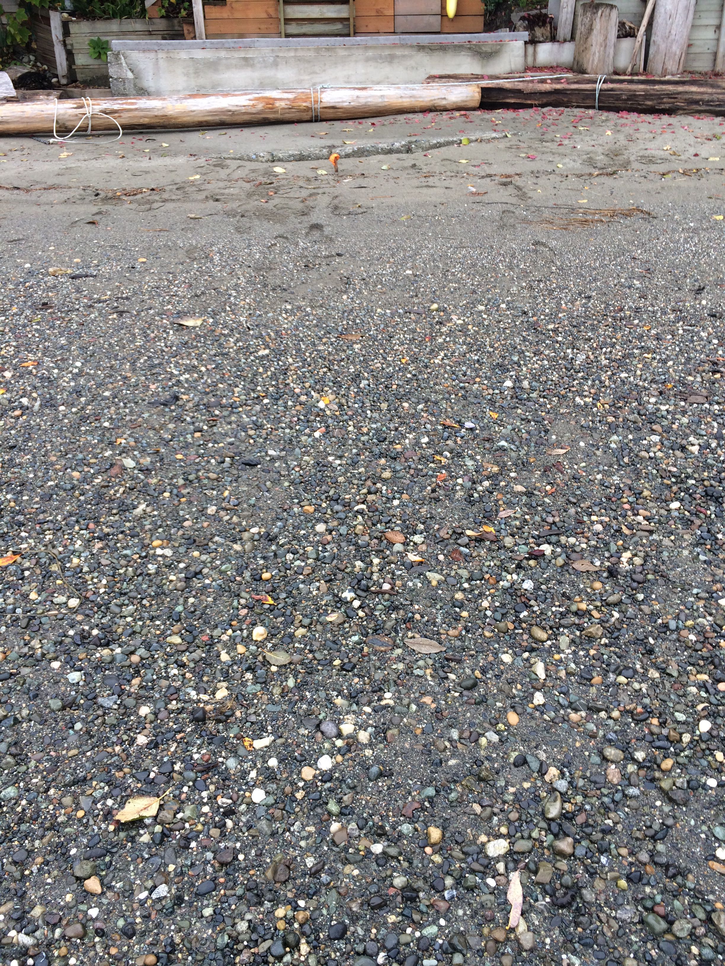
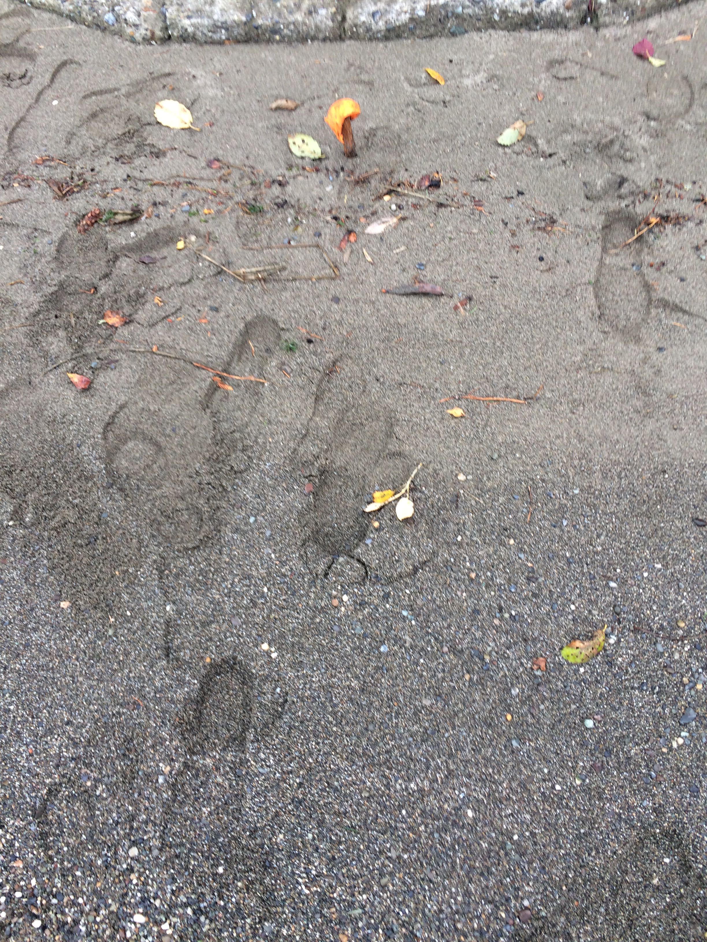
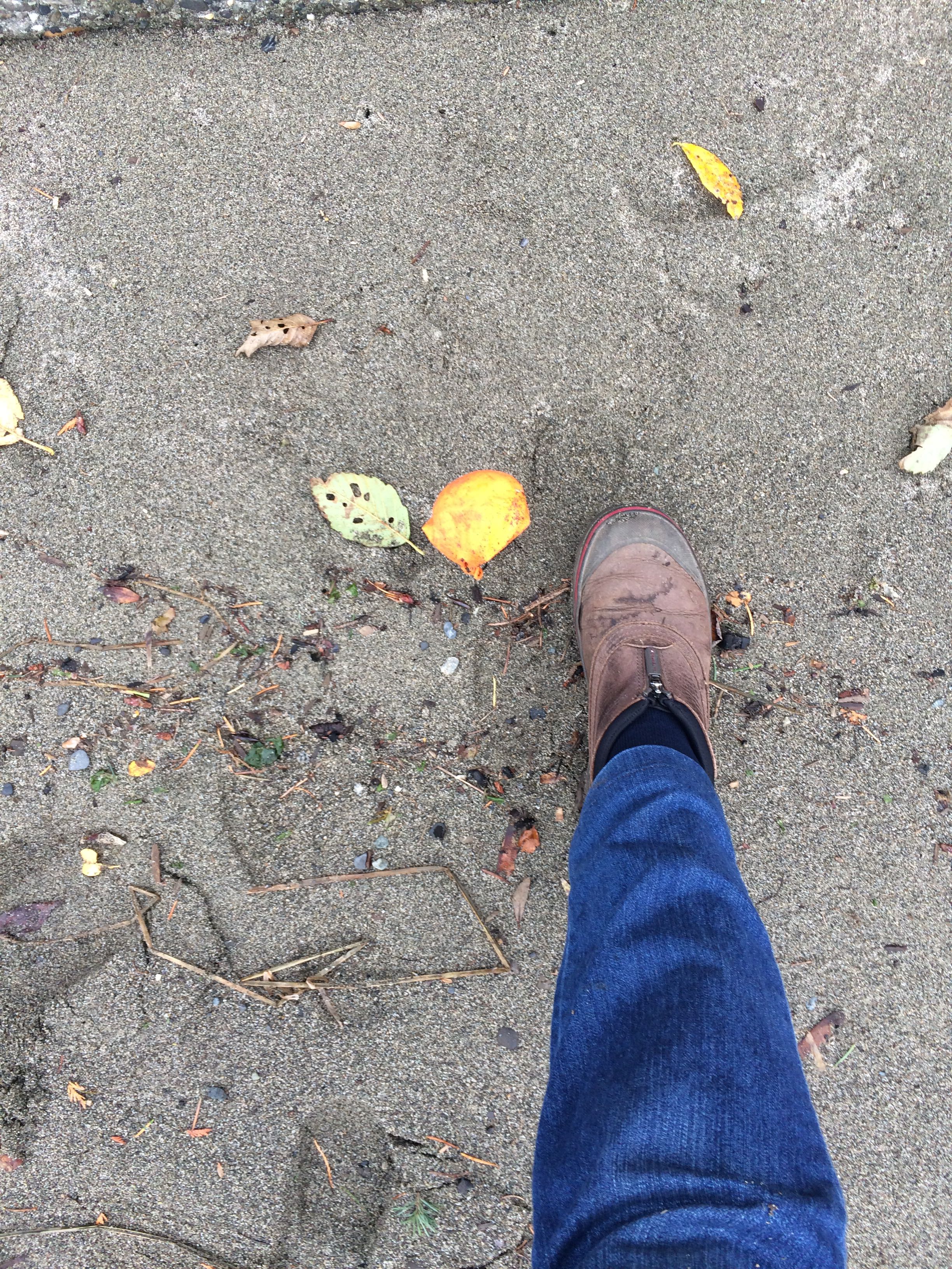
Substrate
Latitude: 48.1812687451
Longitude: -122.357980795
This is a base line for a post surge event.
Tidal Overview
![]() 3 hours 6 minutes after high tide
3 hours 6 minutes after high tide
Data from Port Townsend (19.8 miles away)
Water Level (at time of report): 3:42 pm, 7.1' MLLW
High Tide (Predicted): 12:35 pm, 8.6' MLLW
High Tide (Observed): 12:36 pm, 9.2' MLLW
Loading NOAA Tide Data…
Weather Overview
Wind Speed: 3.8 MPH
Wind Direction: NNW (346°)
Temperature: 62℉
Rainfall (Calendar Day): 0"
Rainfall (Past 24 Hours): 0.01"
User-observed Weather:
- Overcast
- Rain
1 Comment. Leave new
Note from submitter:
There is a semi-circular bulkhead that is sometimes buried in sand depending on beach conditions. I put the stake with the orange plastic in front of the center of the bulkhead. I forgot a ruler to measure cm of substrate so I used my foot, size 7 and 1/2. Sorry, next time I’ll be prepared. I considered this a higher medium tide which the data shows around 7 foot. It would not take a pano so I added a couple of pictures towards Port Susan Bay. We normally have much more driftwood on the beach but in the last storm of )ct. 13 it all floated away to Camano Isl.