Roads
Street/Road: Unspecified
Marinas and Harbors
Buildings
Hazardous Materials
Beach
State: Accessible
Coastal Structures
Natural Resources
Specific Impacts:
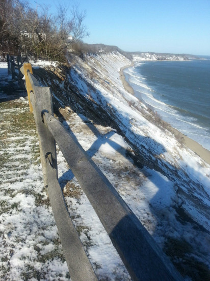
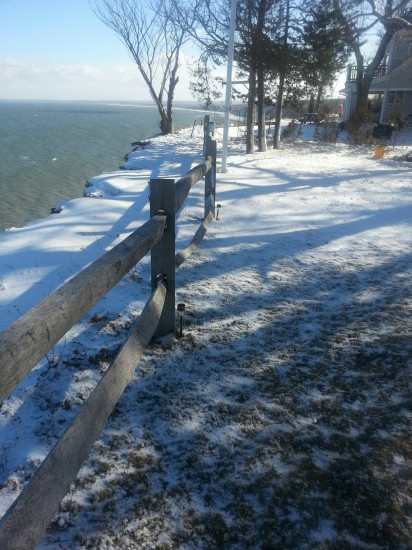
- Eroded beach
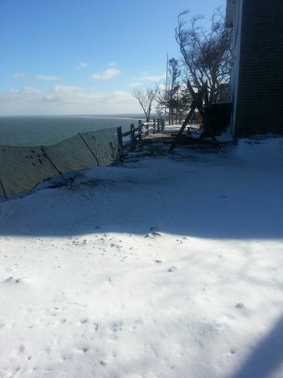
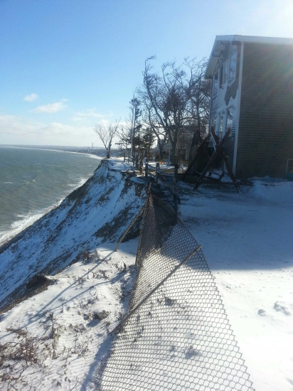
- Eroded bank/bluff
Comments: in last year the cliff has eroded a number of feet. Tree on abutting property ready to fall in. cliff 12'' from building.
Current Response
Response:
- None
You must be logged in to post a comment.