
Stratford, CT

Storm Reporter Report
Damage Reported
User Submitted Data
Roads
Street/Road: Unspecified
Marinas and Harbors
Buildings
Hazardous Materials
Beach
Coastal Structures
Foot/Cycling Paths
Natural Resources
Specific Damage:
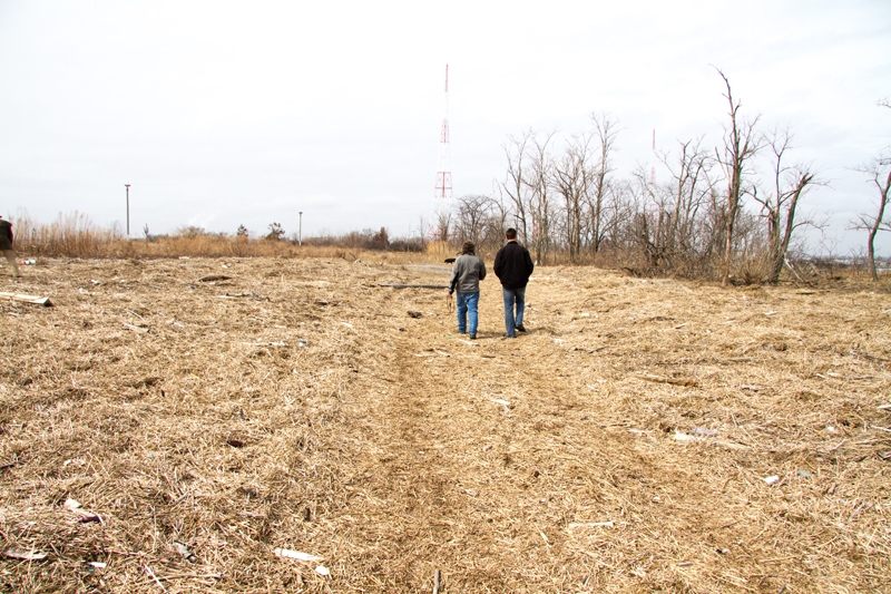
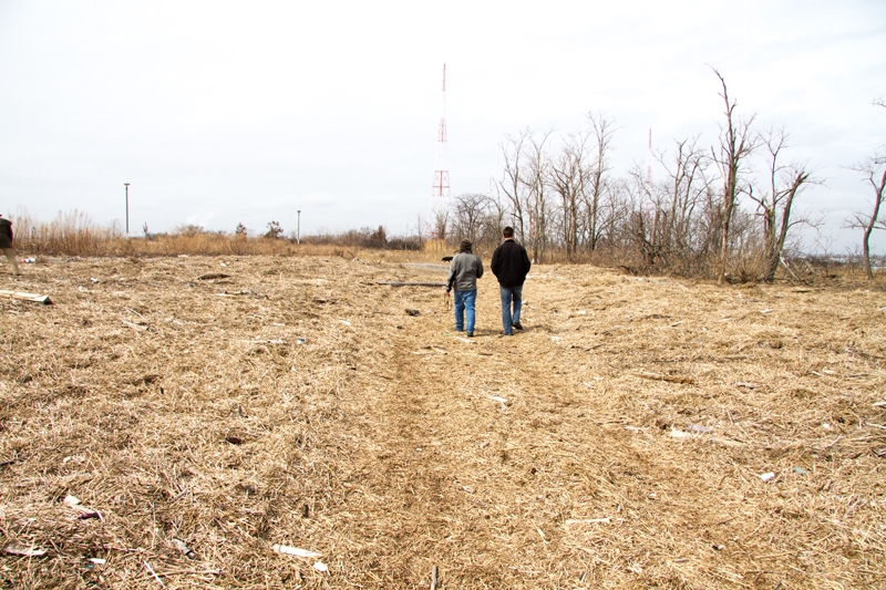
- Wrack on wetlands
Comments: Technically this is a photograph of the massive wrack on dry back barrier flats deposited by Nor'easter Sandy in 2012. Wrack was trapped by trees (on a man-made berm) as as the waters receded into Lewis Gut, the wrack was deposited on the beach.
Current Response
You must be logged in to post a comment.