


Roads
Street/Road: Unspecified
Specific Impacts:
- Impacted, but passable
Comments: Flood waters appear to be more from further up Ocean Street than from the seawall
Marinas and Harbors
Buildings
Hazardous Materials
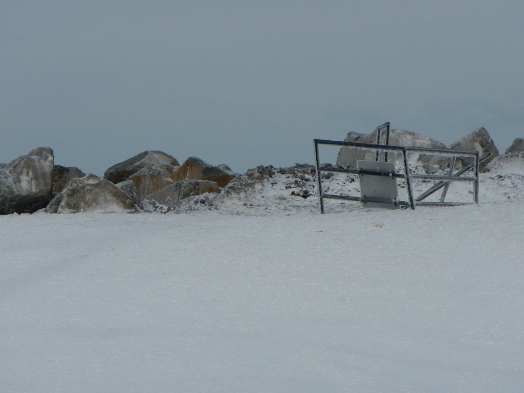
Beach
Foot/Cycling Paths
Natural Resources
Specific Impacts:
- Eroded beach
Comments: Cobble washed over.
Current Response
You must be logged in to post a comment.
"Ocean Street near Dyke Street"