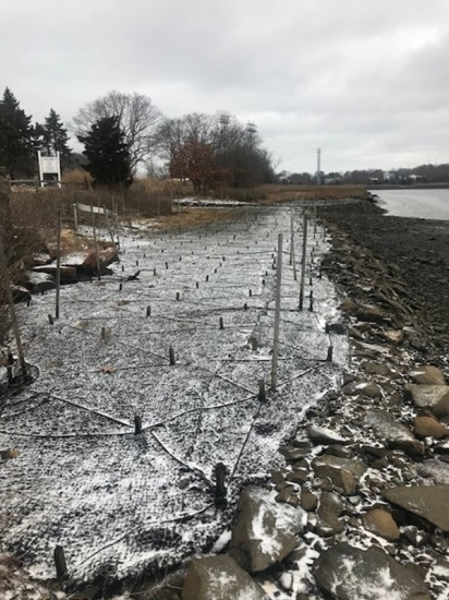
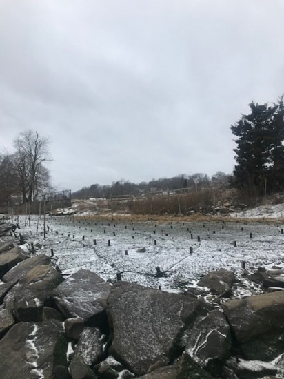
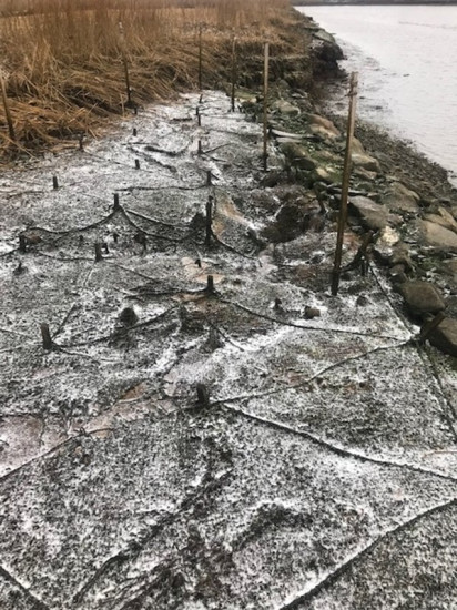
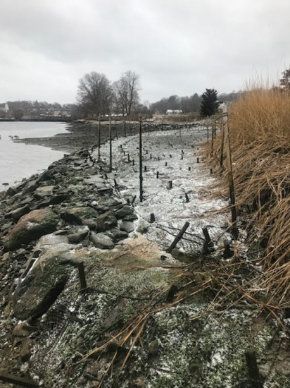
Photo description: 1. salt marsh restoration upper lobe looking east 2. salt marsh restoration upper lobe looking west 3. salt marsh restoration lower lobe looking east 4. salt marsh restoration lower lobe looking west
Coastal resources in/directly adjacent to project footprint:
- coastal bank
- salt marsh (estuarine/protected)
- intertidal (rock)
Project elevation:
- between MHW and mean low water (MLW)
Coastal infrastructure present at site:
- bulkhead/seawall
- culvert
- multi-use path or road
Site stability:
- eroding
Vegetative cover of project area:
- moderate (25-75%)
Dominant vegetative type within project area: grasses
Displaced/unanchored and degraded project materials:
- none
You must be logged in to post a comment.