

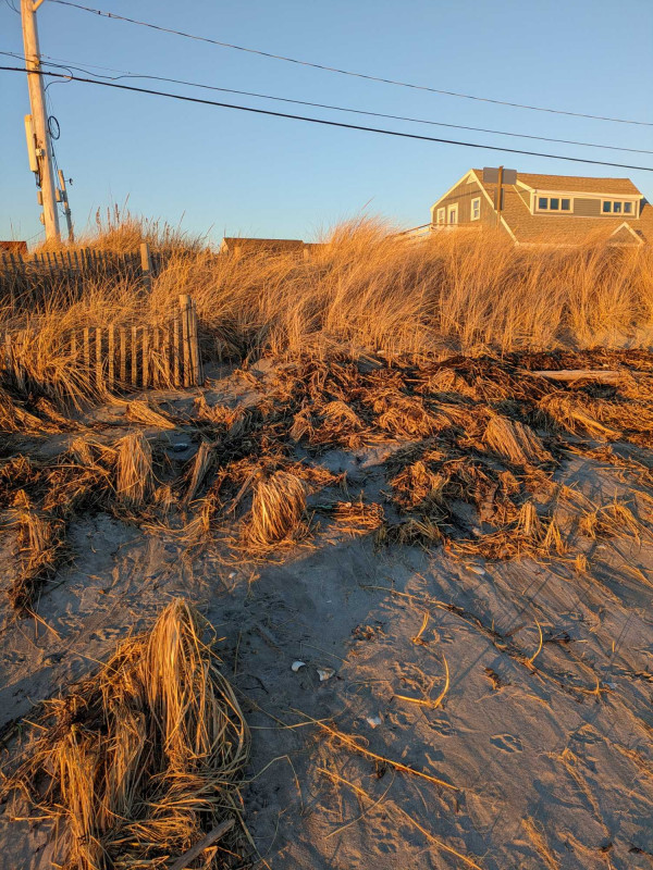
Photo description: Coastal Resilience Grant dune restoration
Coastal resources in/directly adjacent to project footprint:
- beach (mixed sediment)
- dune
Site stability:
- stable
Vegetative cover of project area:
- dense (>75%)
Dominant vegetative type within project area: grasses
Displaced/unanchored and degraded project materials:
- none
Marine-related impacts:
- wrack
- marine debris
You must be logged in to post a comment.
"Good performance during past two recent coastal storms, king tide, +3' storm surge"