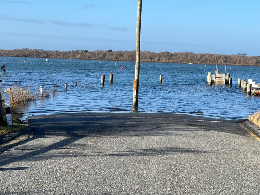
Photo description: Madaket Beach, Nantucket MA Hither Creek, Madaket, Nantucket MA
Coastal resources in/directly adjacent to project footprint:
- beach (sandy)
- coastal bank
- salt marsh (estuarine/protected)
Coastal infrastructure present at site:
- multi-use path or road
- parking lot
Site stability:
- eroding
Vegetative cover of project area:
- sparse (<25%)
Dominant vegetative type within project area: grasses
Displaced/unanchored and degraded project materials:
- none
Human impacts at project site:
- vehicles
Marine-related impacts:
- boat haul-out (motorized and non-motorized)
- wrack
You must be logged in to post a comment.